365 results
Geography handouts for Easel
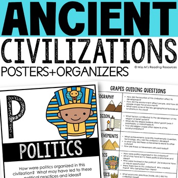
Ancient Civilizations GRAPES Posters Ancient Greece Ancient Rome Ancient China
Help your students learn and organize info about ancient civilizations with these G.R.A.P.E.S. posters, guiding questions, and graphic organizers! The GRAPES Ancient Civilizations Poster and Graphic Organizer Set is an easy acronym to organize information for the basic traits of ancient civilizations. G.R.A.P.E.S. is an acronym for:G- GeographyR- ReligionA- AchievementsP- PoliticsE- EconomicsS- Social StructureGRAPES is an effective way to learn and organize information about different civilizat
Grades:
6th - 8th
Grade 3 Social Studies Ontario: Living and Working in Ontario 2023
This package includes:Shared reading passages, Easy-to-follow worksheets, Differentiated tasks (Low and High), Unit Quiz, Unit Review Tests, Answer Key, All expectations in "People and Environments" Strand covered, Includes 3 Formats:1. PDF Download:Download PDF and photocopy worksheets2. TPT EASEL Activity:EASEL FAQEASEL Tutorial3. Google Slides:Download PDF and click on the link at the bottom of the Credits pageMake your own copy of the Google Slides when promptedBased on the Ontario Curriculu
Subjects:
Grades:
3rd
Types:
Also included in: Grade 3 Ontario Social Studies Bundle 2023
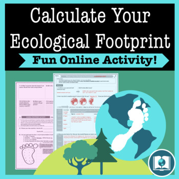
My Ecological Footprint: Fun Online Activity and Worksheet about Climate Change
Take your class to the computer lab for a fun and engaging activity! Students will use an interactive website to find out how their lifestyle determines their ecological footprint and impacts our planet. This activity is the first step in a fun lesson that spans two classes and gets your students learning about the environmental impact of the choices we make every day. This lesson fits perfectly into a unit or course about climate change, environmentalism, geography or world issues. There is lit
Subjects:
Grades:
9th - 12th
Types:
Also included in: Climate Change and Environmental Sustainability Bundle for High School
World Map - World's Continents & Oceans Mapping Activity
Map Activity – World’s Continents & OceansIn this activity, students must locate and identify the world’s continents and oceans. When students are finished with this, they may spend time coloring the various continents and oceans if so desired. This activity could also easily be used as an assessment piece as well (i.e. test, quiz, etc.) thus has multiple uses!Included in this package is a ready-to-copy blackline master world map along with a separate answer key.Preview file is available for
Subjects:
Grades:
3rd - 10th
Types:
Also included in: Map Activity Bundle
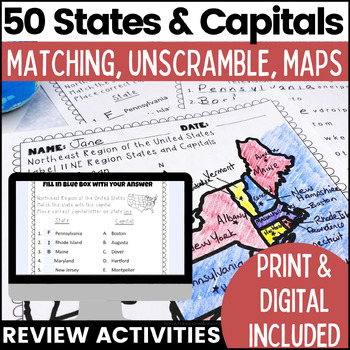
50 States and Capitals Worksheets | Print & Digital Resource
Help your students learn the 50 States and Capitals by region by matching states and capitals, unscrambling, and creating map worksheets. The 50 United States and Capitals Map Activities are print and go easy to use. Update: Digital version is now included! 7/22Click Here to View The United States and Capitals Geography Review Activities and Assessment Bundle (Save 40% when you buy as a bundle)Product includes:Northeast Region Matching States and CapitalsNortheast Region Unscramble States and Ca
Grades:
3rd - 8th
Types:
Also included in: 50 States and Capitals Bundle Map Print & Digital Resource 50% OFF
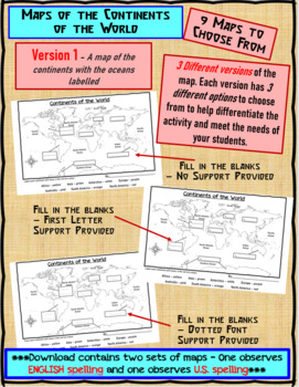
Maps of the Continents of the World For Students to Label and Colour/Color
This download contains 9 maps of the continents of the world (11 x 17 paper) to allow you differentiate your instruction to help meet needs of all students in your classroom as they learn to identify and locate the continents of the world. ***Please note that there are 2 sets of each of the 9 maps – one set observes English Spelling and one set observes U.S. spelling.***This download contains: 1. A map of the continents with the oceans labelled and the continents left blank for students to fill
Subjects:
Grades:
2nd - 7th, Adult Education
Types:
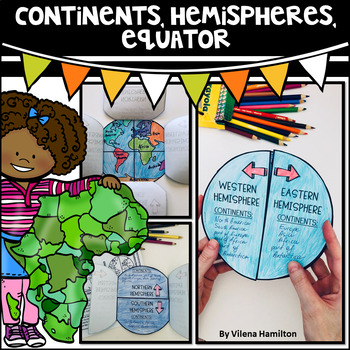
Continents. Hemispheres. Equator. Reading Passage & Foldable.
Reading Passage + Foldable to help your students memorize the continents and understand hemispheres in a simple and not so boring way. Here is what's included:- 2-Page Reading Passage about continents, hemispheres, & equator with 10 comprehension questions;- Foldable Templates;- Answer Keys for everything.You might also like:Maps. Map Skills. Compass Rose. Distance Scale. Map Key. Map Grid.Family Tree Project. Digital & Printable3 Branches of Government Mini Interactive Lapbook. Digital
Grades:
2nd - 3rd
Also included in: Geography Bundle
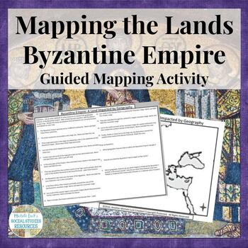
Mapping the Lands of the Byzantine Empire Activity - Geography of Empire
Mapping the Lands of the Byzantine Empire Activity (Part of my Geography IN History Series) is a great lesson for setting the foundation for your unit on the Byzantine Empire and the rule of Justinian and Constantine.This mapping activity guides students through mapping the physical features of the Byzantine Empire (Early Christian Civilization) by researching 15 different questions and topics on the region. Students can use an atlas with a physical map of the region or online sources to comple
Grades:
6th - 10th
Types:
Also included in: Mapping the Lands of the Ancient & Early World Activity Bundle
Asia and Oceania Geography Introduction Atlas Mapping Data Analysis Activity
Introduce the Geography of Asia and Oceania with a concise Atlas Activity. This is the activity I use to introduce my students to the physical geography of Asia and Oceania. Since Asia can be split into 3 smaller regions (South, East, and Southeast), it is the same activity form for each of the 3 regions plus one for Oceania, with a cumulative mapping assignment and essay prompt at the end. Assignment requires students to investigate the physical and human statistics and features of the conti
Grades:
6th - 10th
Types:
Mapping the Lands of the Renaissance Activity - Italian and Northern
Mapping the Lands of the Renaissance Activity (Part of my Geography IN History Series)
This mapping activity guides students through mapping the physical features and significant places of the Renaissance by researching 15 different questions and topics on the region. Students can use an atlas with a physical map of the region or online sources to complete the activity.
Includes a map of the region and the student handout with 15 questions for mapping and 3 wrap-up questions.
A photographed c
Grades:
6th - 12th
Types:
European Geography at the End of the Middle Ages Mapping & Timeline Activity
Are you teaching a unit on the Middle Ages or Renaissance and don't know where to start? Would you like to include geography skills practice in your Middle Ages & Renaissance unit?Investigating European Geography at the End of the Middle Ages Mapping and Timeline Activity helps students understand the geographic impacts as the continent transition from the Middle Ages into the Renaissance.This mapping activity guides students through mapping the physical features and significant places of th
Grades:
6th - 12th
Types:
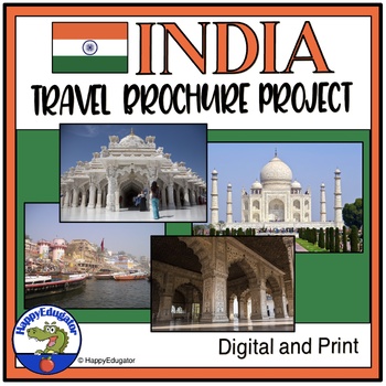
India Travel Brochure - Project Based Learning
India Travel Brochure Project. Student project with rubric. Students create a travel guide on India on a tri-fold construction paper. Good project-based learning activity. Students imagine they are travel guides leading a tour of India and must give their group an overview of India's history, geography, language, government, economy, religion, climate and attractions. Student instructions for the project to handout, teacher directions, brochure template, and a detailed rubric included. Rubric me
Subjects:
Grades:
6th - 9th
Types:
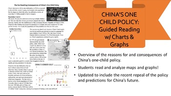
One-Child Policy Reading, Charts, & Questions Distance Learning
China's One-Child Policy and updates! This short reading gives a great overview of the causes and effects of China's one-child policy and the nation's reasons for loosening these restrictions. It covers China's gender imbalance, growing aging population, and shrinking labor force while asking students questions that test their comprehension skills and their ability to read maps and graphs. Useful for an in-class assignment or homework. I combined numerous articles and reduced the lexile level to
Grades:
6th - 12th
Types:
Atlas Activity for Introduction of U.S. and Canada Geography
Need a no-prep way to introduce the Geography of the United States and Canada? This resource will do that! Your students can use this as an introduction to the United States and Canada for a Geography class or as a step into the region for any History or Novel study.Want to overview the statistics of America and Canada while addressing the physical and human geography of the region? Basic data is covered that your students will be able to easily understand and compare.In this atlas activity, stu
Grades:
6th - 11th
Types:
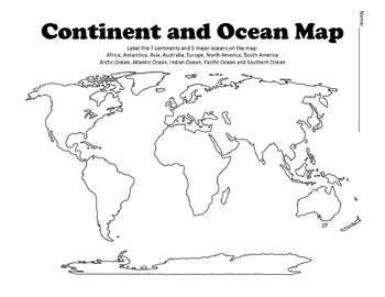
Continent and Ocean Map Worksheet Blank
Continent and Ocean Map worksheet can be used as a worksheet as well as a pretest and post test to assess students knowledge. Student can label and then color the different continents and oceans in order to learn this section of the AKS. Additional Maps - World Maps - Continent, Oceans, Climate Zones and Time Zone MapsUnited States Map Bundle - Political and Physical MapsSouth America Maps - South America Political and Physical MapsLouisiana Purchase MapBe the first to know about new products (a
Subjects:
Grades:
1st - 12th
Types:
Also included in: US History Bundle / Distance Learning
Central & South America Geography Atlas and Mapping Introduction Activity
Investigate the Geography and Statistics of the Central and South American Countries with an engaging and content-strong lesson resource!This is a student-centered investigation of the Geography and statistics of Central & South America for an introduction to a unit on the Geography of the region.Covers:Physical GeographyPolitical GeographyClimateIntroductory VocabularyMapping of Region Students may be assigned to work individually, or they may be assigned to work in small groups to complete
Grades:
6th - 12th
Types:
Weather and Climate - Text and Exercise Sheets
Weather is the state of the atmosphere in a certain place at a certain time. Weather always changes and is different all around the world. It depends on many elements . It may be warm and sunny in one place, but cold, windy and rainy somewhere else.Climate refers to the weather conditions in a certain area over a longer period of time.Contents : 16 pagesIntroductionElements of the weatherTemperatureAir pressureHumidityPrecipitationGlobal wind systemsAir massesClimate ZonesWeather forecastingExt
Subjects:
Grades:
6th - 12th, Higher Education, Adult Education
Types:
Mapping the Lands of the Industrial Revolution Activity
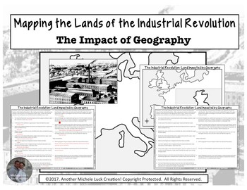
Mapping the Lands of the Industrial Revolution Activity (Part of my Geography IN History Series) - This mapping activity guides students through mapping the physical features and significant places of the Industrial Revolution by briefly researching 15 different questions and topics on the region and historical period. Students can use an atlas with a physical map of the region or online sources to complete the activity.Includes a map of the region and the student handout with 15 questions for
Grades:
6th - 12th
Types:
Rain School Worksheets - Map Activity - Rain School Book Companion
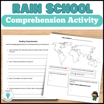
These are activities for the book Rain School for upper elementary students to help set the stage for the story and check for understanding. Students will:Answer questions about the continent of Africa and Chad as the story is set in the regionWatch a video about how people in Chad make their homes similar to the Rain School storyAfter reading Rain School, students answer the reading comprehension questions Complete a small research assignment on the country of Chad! This Rain School resource i
Grades:
2nd - 5th
Types:
North South East West
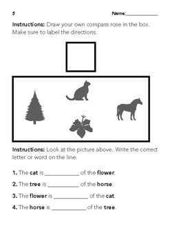
This is a simple file for reviewing cardinal directions. The way the questions are written are good for comprehension and understanding. This is geared towards 1st-3rd grades.C3 Framework Standards: D2.Geo.1.K-2. Construct maps, graphs, and other representations of familiar places. D2.Geo.2.K-2. Use maps, graphs, photographs, and other representations to describe places and the relationships and interactions that shape them. D2.Geo.3.K-2. Use maps, globes, and other simple geograp
Subjects:
Grades:
1st - 3rd
Types:
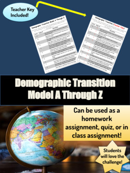
Demographic Transition Model A Through Z Worksheet
Recently Updated in May, 2022Thank You for stopping by and I hope you enjoy this assignment. Teaching the demographic transition model is a crucial part of the World Geography and AP Human Geography Course. If you're looking for an assessment, homework, or in class assignment for your students this is it! You have many options with this assignmentStudents will be given an A through Z worksheet with descriptions and need to match the letters to either Stage 1, 2, 3, 4, or 5. You can give the s
Grades:
9th - 12th
Types:
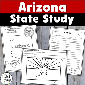
Arizona State Study
Students will increase their state knowledge on Arizona symbols, history, maps, and facts. This study includes a variety of activities and can be adapted for use as an introduction to Arizona or as a more in-depth study using the 18 included task cards. Kids will love completing using the research task cards using primary and secondary sources to gather information. Each task card covers a research topic and has students conduct a meaningful inquiry about the topic. Using library sources to cond
Grades:
2nd - 6th
Types:
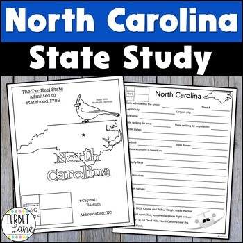
North Carolina History and Symbols Unit Study
This North Carolina packet is an engaging state study covering state symbols and several history research topics. This set including a variety of activities which can be adjusted to meet the needs of students at many levels. More advanced students should be able to give more in depth answers while less experienced students can give more simple facts about the state.Includes: State symbols and facts info pageNorth Carolina symbols coloring pageA travel brochure project18 research task cardsNorth
Grades:
3rd - 6th
Types:
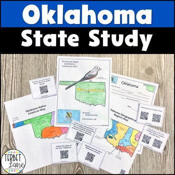
Oklahoma State Study with QR Codes
This Oklahoma packet is an engaging state study including a variety of activities which can be adjusted to meet the needs of students at many levels. More advanced students should be able to give more in depth answers while less experienced students can give more simple facts about the state. Not all of the pages this resource translate well to digital but I have added a TpT digital version of the pages that do to give you more options in using this resource. Includes:State symbols and facts inf
Grades:
3rd - 5th
Types:
Showing 1-24 of 365 results


