7 results
Geography study guide images
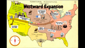
Westward Expansion Visualizer GIF
GIF (moving animated picture) showcasing major topics during the Westward Expansion unit. Based on NYS Social Studies standards, topics in GIF include Gold Rush, Indian Removal Act, Trail of Tears, Transcontinental Railroad, Louisiana Purchase, Erie Canal, and Manifest Destiny.Totally FREE for YOU!
Grades:
5th - 12th
Types:
CCSS:

Hong Kong Colorings - Flower Market
Here is a drawing from my coloring book that features Hong Kong’s culture, sights, entertainment, and food in a fun way and modern representation. This will get kids and adults excited about coloring what they see in the lively and fantastic city of Hong Kong.
Subjects:
Grades:
Not Grade Specific
Types:
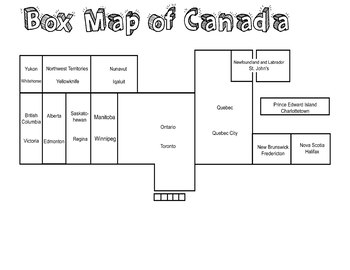
Canada Map Box Test
This is a Canada Box Map as simple as possible to understand where every province is in each position. Most people forget some positions so we made the made the map simple. Made by the guidance real kids. FYI
Subjects:
Grades:
2nd - 4th
Types:
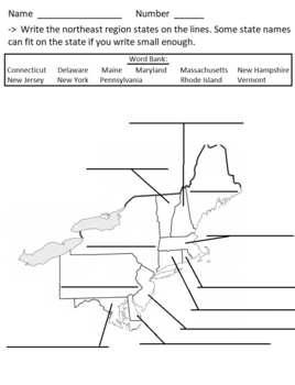
USA's Northeast Region - fill in the blanks
Write the 11 state names in the blanks around the NE region. One page.
Subjects:
Grades:
Not Grade Specific
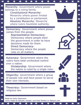
Types of Government Easy Reference
Grab this free, helpful study guide to help your students understand some of the mainforms of governments they'll need to know! This guide includes a quick reference to the definitions of:MonarchyConstitutional Monarchy Absolute MonarchyDemocracy Representative Democracy Direct DemocracyAutocracy, DictatorshipOligarchyTheocracyThis document is 8.5 x 11, or the standard size of paper. Easily printable!Icons made by fjstudio, freepik, and Pixel Perfect on flaticon.com
Grades:
6th - 9th
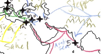
AP World History Period 3 Trade Routes Map Activity Completed Example
This map includes a list of 12 major cities and four major trade routes. This student example is based on information that can be found with any standard AP World History textbook. The items listed on this map are directly tied to the most current AP World History Curriculum (2012). See page 40 of the Curriculum Framework for verification. This student example shows how additional information can be added to this map.
Grades:
9th - 12th, Higher Education
Types:
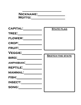
State facts study guide
quick print worksheet where student can write the state name, nickname, state symbols, and sketch the flag and shape of the state, all on one page. I printed one for each student each week, and we added facts throughout the week. Then kept them all in one notebook, alphabetically, for quick access. :)
Subjects:
Grades:
2nd - 10th
Types:
Showing 1-7 of 7 results


