2,618 results
Geography resources for Google Apps $5-10
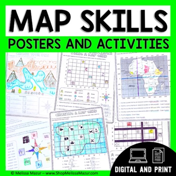
Map Skills Unit - Maps & Globes Activities - Types of Maps
This no-prep map skills unit includes both vocabulary reference posters and activity pages on many different topics. These activities are an engaging way for students to develop their skills and practice reading maps. *UPDATE* You can now share this with your students digitally!This resource was created using Google Slides. You must have a Google email for use. Each section can be assigned in Google Classrooms. It is ideal for distance learning. I also include the print file so you can have a
Grades:
2nd - 4th
Types:
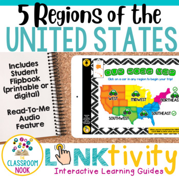
5 Regions of the United States LINKtivity® (Geography, Climate, Landforms, MORE)
Take your students on an exciting virtual road trip through the five regions of the United States with our digital LINKtivity® Interactive Learning guide! Our interactive guide offers a fun and engaging way for students to explore each region's climate, landforms, bodies of water, and popular tourist destinations.Designed for upper elementary classrooms, our easy-to-navigate digital guide requires minimal teacher prep and is entirely student-controlled, allowing for self-paced learning. With a v
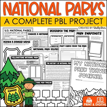
National Parks Research Activities End of Year Project Includes Yellowstone
This Visit a National Park research project will have your students so engaged, they won't want the activity to end! In this unit, students have the opportunity to plan a trip to a National Park, create a road map, write a research article, and so much more! What better way to have students use real-life math, reading, and writing skills than with this fun U.S. National Parks Activity? Now includes nonfiction reading passages and other bonus reading activities!Click HERE to SAVE 25% with the PB
Grades:
3rd - 6th
Types:
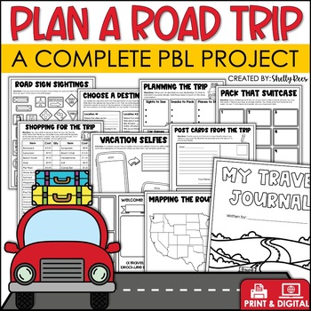
Plan a Road Trip Activities Real World Math Project Travel Brochure Vacation
This real world writing and math Plan a Road Trip project will have your students so engaged, they won't want the activity to end! In this unit, students the have opportunity to plan a trip and persuade others to visit their chosen destination! Now includes a bonus vacation journal and road trip activities!Click HERE to SAVE 25% with the PBL Activities Bundle for the Year!Click the PREVIEW above to see everything included.All of the hard work is done for you. Simply print the NO PREP pages, and
Subjects:
Grades:
3rd - 6th
Types:
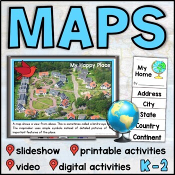
Map Skills Unit with Slideshow– Me on the Map – Maps and Globes - with Digital
This map skills unit for K-2 has all you need to teach your students about maps and globes. With an informational map skills PowerPoint slideshow (also included in video form), vocabulary resources, printable activities and books, and digital activities for Seesaw and Google Slides, this set will get your little geographers making, reading, and talking all about maps! Perfect to use alongside the read-aloud Me on the Map, this maps unit includes an easy-to-assemble “My Home” booklet with version
Subjects:
Grades:
K - 1st
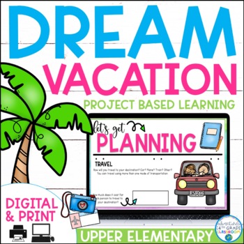
Dream Vacation End of Year Project
Planning a vacation has never been so fun! In this cross-curricular project, students will plan, budget, and journal about their "dream vacation". They will pull skills from math, language arts, and social studies and work with their group members to complete the project.This is a great resource for distance learning and includes an update in which students plan their "dream vacation" for just them (not a small group). In the resource, you will find a 23-page packet to guide students while pla
Subjects:
Grades:
3rd - 6th
Types:
5 Themes of Geography Stations Activity | Five Themes of Geography Lesson
In this Five Themes of Geography stations and student activity, students analyze the five themes of geography (location, place, human-environment interaction, movement, and region) to understand how geographers study the world!This best-selling geography resource is included in the massive All Things Geography Bundle, as well as the American or the World History PLUS Curriculum!This lesson begins with students doing an introductory reading and activity on the five themes of geography. Then, stu
Grades:
5th - 9th
Types:
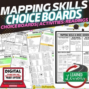
Geography Mapping Skills Activities, Geography Choice Board, Reading Passages
Mapping Skills and Basic Geography Choice Boards, Mapping Skills Readings Google Classroom, Print & Digital Learning provides differentiated activities to use with students to master the content. THIS IS ALSO PART OF SEVERAL BUNDLES World Geography MEGA BUNDLE AND World Geography Choice Board Activity BUNDLE AND Mapping Skills BUNDLE Choice Board Activities and Mapping Skills Readings Including the following: Mapping ActivityCartographerMap ScaleTypes of MapsTime ZonesRoad MapsLand and Wate
Grades:
7th - 12th
Types:
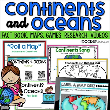
Continents and Oceans Activity | 7 Continents Printables | Ocean and Continents
Are you looking for a fun and engaging continents and oceans activity to teach map skills lessons in 2nd and 3rd grade? With engaging games, songs, maps and more, these 7 continents printables will lead to student mastery in no time! Students can label the 7 continents on a map, learn about the continents and oceans through reading passages, play continents and oceans games, sing songs, complete continent and oceans project ideas, and complete research. INCLUDES BOTH A PRINT AND DIGITAL VERSIO
Subjects:
Grades:
2nd - 4th
Types:
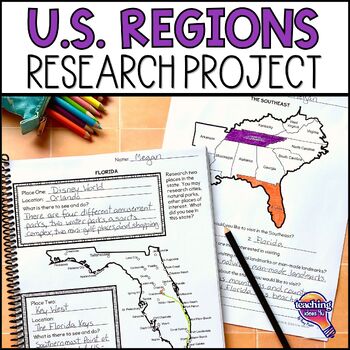
United States Geography - US Regions & State Research Project Unit
Looking for a way to make U.S. geography come alive for students? Plan a trip through the regions of the United States with this hands-on project! Students use real-world skills as they select two states in each U.S. region to visit, then research each state to decide what sites they want to see. Students then determine how they could most easily visit all of their locations in one trip and map their route. What’s IncludedPDF and Google Slide versionsExtension research page for use to different
Grades:
4th - 6th
Types:
Map Skills & Geography Activities Google Classroom Digital Resources
This digital activities bundle (including map skills reading passages!) will make maps and globe skills ENGAGING and FUN!This bundle includes digital activities and reading passages about map skills, the equator, prime meridian, hemispheres, continents, and oceans.This digital resource uses Google Slides™ and can be used on Google Classroom and Google Drive. This resource also includes an answer key.⭐️ Click HERE to SAVE 20% with the yearlong 2nd-Grade Social Studies Bundle!You will receive each
Subjects:
Grades:
2nd - 3rd
Types:
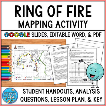
Ring of Fire Mapping Activity and Questions - Earthquakes and Volcanoes
⭐ ⭐ ⭐ ⭐ In this fun and engaging ring of fire mapping activity, students plot the coordinates of past earthquakes and volcanoes along the ring of fire using an easy to read Pacific-centered world map. Students will then draw other geologic features on their maps such as trenches, mountain ranges, hot spots, and mid-ocean ridge. After the map is complete, students will answer 25 analysis questions. Editable MS Word version, PDF version, and Google Slides version are all included!I complete this w
Subjects:
Grades:
8th - 12th
Types:
NGSS:
MS-ESS2-3
, HS-ESS2-1
, MS-ESS2-2
, HS-ESS1-5
Also included in: Plate Tectonics Growing Discount Bundle
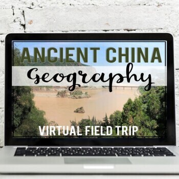
Ancient China Geography: Virtual Field Trip (Google Earth Exploration)
Take your students on a virtual field trip to learn the geography of ancient China! Using a combination of Google Earth™ 360-degree views, informational text, video, and visuals, your students will learn about and explore the geography of ancient China including: the Gobi Desert, Himalaya Mountains, Tibetan Plateau, Yangtze River, and Huang He River (Yellow River).Your students will learn about::: geographic location of China:: modern-day borders (map skills included):: Gobi Desert (Mongols &
Subjects:
Grades:
5th - 7th
Also included in: Ancient China Virtual Field Trip Bundle (Google Earth Exploration)
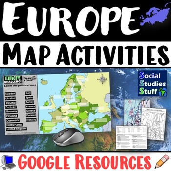
Geography of Europe Map Practice Activities | Print and Digital | Google
End the cycle of bored students copying from books to label maps! Your classes think critically with these digital, interactive, geography activities. First, students answer questions about Europe by analyzing various physical & political maps of the region. Then, a drag & drop challenge assesses their learning of the locations. This resource also includes a printable worksheet that takes labeling maps to the next level! They create a map using only absolute & relative location clues
Subjects:
Grades:
5th - 12th
CCSS:
Natural Disasters
Let's learn about Natural Disasters! This worksheet includes 34 pages with a large variety of activities and exercises about natural disasters. Crosswords, word searches, puzzles and other kinds of activities are included to make it a fun and interesting class. The answers and an answer sheet are included. GOOGLE SLIDES AND FILLABLE PDF VERSIONS INCLUDED!Overview: Page 1-2: Introduction Page 3-4: EarthquakesPage 5-7: HurricanesPage 8-9: FloodsPage 10-11: Volcanic EruptionsPage 12-13: TsunamisPag
Subjects:
Grades:
5th - 12th
Types:
Also included in: Geography Bundle (Nature, Oceans, Ecosystems, and Natural Disasters)
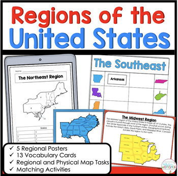
5 Regions of the United States Matching Vocabulary Map Skills Digital and Print
Use these engaging, hands-on map skills activities to teach your students about the northeast, southeast, midwest, southwest, and west regions. This product includes information about each regional, map skills, and activities that help students learn about the US Regions. Easily print and go or upload to Google Classroom!Stop spending hours searching for Social Studies resources. This activity is the perfect for the busy classroom. You can use these activities in your whole group social studi
Subjects:
Grades:
3rd - 5th
Types:
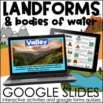
Landforms and Bodies of Water | Interactive Google Slides Activities
These slides provide the definition of common landforms and bodies of water along with real life images! The interactive slides help students practice identifying landforms and bodies of water. If your students are comfortable dragging and typing in google slides, this activity will be perfect for them! A booklet of definitions and images is included for students to use during the activity or as a study guide! *This product is included in a BUNDLEThis resource is not editable. What is included?-
Subjects:
Grades:
3rd - 5th
Types:
Also included in: Continents and Oceans & Landforms BUNDLE | Google Slides Activities
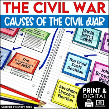
Causes of the Civil War | Civil War Map and Timeline DIGITAL and PRINTABLE
Students are fully engaged in learning about the causes of the Civil War with this interactive packet. The hands-on approach of this resource, including a timeline, foldables, map activity, bulletin board, and more, will help your students learn and understand the cause and effect relationships of events in this period of history!Click the PREVIEW above to see this resource in greater detail!Click here and SAVE 20% by buying ALL 15 Social Studies Interactive Notebooks and Mini Units in one Year
Grades:
5th - 8th
Winter Holidays Around the World Virtual Scavenger Hunt (Google Earth)
Take your students on a winter holidays adventure around the world! Using a combination of Google Earth™ 360-degree views, informational text, video, and visuals, your students will learn about and explore 8 different winter holiday events and traditions around the world. This low-prep, interactive activity is fully digital and is set up in Google Slides. This activity has been updated for the 2023 season!*CLICK THE PREVIEW BUTTON TO VIEW MOREStudents will visit and learn about the following:Nat
Grades:
5th - 7th
Types:
Introduction to Maps, Map Reading, Topography, and Geography Unit
In this maps skills and introduction to map reading, map features, and basic geography, students are introduced to the common elements that all maps have and a variety of different map styles, including climate maps, political maps, physical maps, road maps, topographic maps, and economic and resource maps! ✮✮ This resource is now Google 1:1 compatible! ✮✮Students first learn about map titles, keys, the compass, and the scale, then are engaged with learning about the variety of different maps
Grades:
4th - 7th
Types:
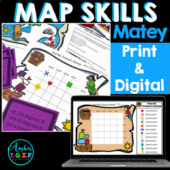
Map Skills Bundle Digital & Print - Grid Maps, Latitude, Longitude, Directions
Map Skills, Latitude and Longitude, Grid Maps, Writing your address, Directions, and more - all of these concepts are covered in this PRINTABLE AND fully DIGITAL Google Slides and Google Forms mini-unit for your Google Classroom. Have a great time with your class (in class or remote) learning about the compass rose, writing their address, latitude and longitude, grid maps, and map making while being a pirate.Here is what is included in the Printable and Digital Pirate Map Skills pack:DIGITALGoog
Grades:
2nd - 4th
Types:
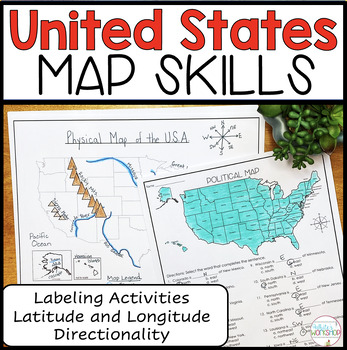
United States Map Skills | Latitude and Longitude | Compass Rose
Engage your students in U.S. map skills which include labeling political, physical, and regional maps, identifying cities and states on a map using lines of latitude and longitude, and comparing locations using cardinal and intermediate directions. These map skills are perfect for small groups, centers, whole group social studies projects, homework, and substitute plans. ⭐️ PDF and Google Slides formats ⭐️Follow my White's Workshop store for more great resources! ❤️ Includes:PDF Version 8 Co
Subjects:
Grades:
3rd - 5th
Types:
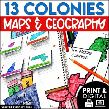
13 Colonies Map and Activities | Colonial America Unit | DIGITAL & PRINTABLE
Your students will love learning about the 13 Colonies maps and geography with this interactive packet. These hands-on activities, like maps, foldables, bulletin board, and more, will help your students learn and understand the geography and regions of Colonial America!Click the PREVIEW above to see everything included in this resource!Click here and SAVE 20% by buying ALL 15 Social Studies Interactive Notebooks and Mini Units in one Year-Long Bundle.This resource includes both a printable vers
Grades:
3rd - 6th
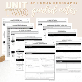
Unit 2: Student Guided Notes - AP Human Geography
Notes pages for each CED topic for Unit Two.Use the guided notes to scaffold your Human Geography lectures or use the notes with my accompanying lecture slideshow! You can find slideshow lectures that correlate directly with EACH CED Topic for AP Human Geography Unit 2 here.Students can use as a study guide, you can assign for homework, or use with a self-guided lecture! You can assign this to be completed digitally for distance learning or print and have students complete hardcopy.So many uses!
Subjects:
Grades:
9th - 12th
Showing 1-24 of 2,618 results


