47 results
Free geography resources for SMART Notebook
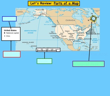
Map Scale and Distance
This is a lesson on measuring distances on a map using a map scale. This would fit nicely in a Map Skills Unit. Distances can be measured by marking the start and end point on a card, and then using a ruler to measure the actual distance.
This work is licensed under a Creative Commons Attribution 3.0 Unported License.
Subjects:
Grades:
2nd - 4th
Types:
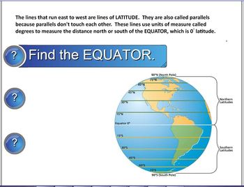
Latitude and Longitude SMART Notebook lesson
This is an elementary SMART Notebook lesson on latitude longitude. Background information, links, and activities and assessment will help your students understand latitude, longitude, and the coordinate system. A SMART response quiz is included to help you assess student learning.
Grades:
3rd - 5th
Types:
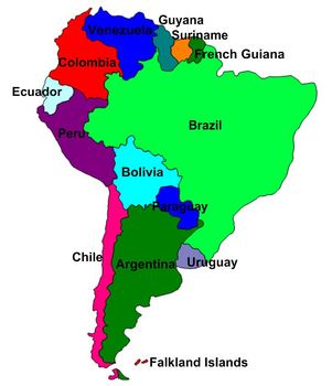
South America Labeling Puzzle. Map
This is a map of South America for students to label. Its a puzzle that the teacher, or students, can mess up and have other students put back together. Great hands-on activity with technology. Get students up at the board.
Subjects:
Grades:
6th - 10th
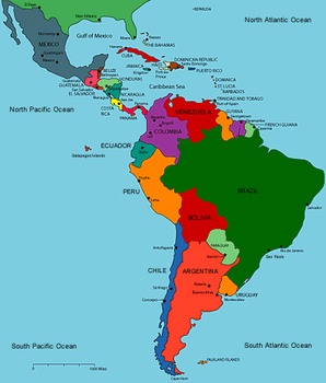
Latin America
Latin America - Social Studies SmartNotebook file to be used to study the three regions of Latin America. Used to explore Central America and Mexico, South America, and the Caribbean!
Slides to label maps, economy, history as well as the Mayans, Aztecs, and Incas!
Subjects:
Grades:
4th - 8th
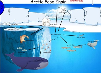
Arctic Ocean Food Chain for Smartboard
Students will select and match the names of the arctic animals on the page. By using the arrow tool, you can have students show the chain connections.
It's very colorful and fun to look at. Provides opportunity to identify some unfamiliar arctic animals and understand how the sun is at the top of the chain. Encourages discussion on the eating habits of the animals and how they need one another to survive.
Includes a Make Your Own food chain example activity to check for understanding.
Subjects:
Grades:
1st - 4th
Types:
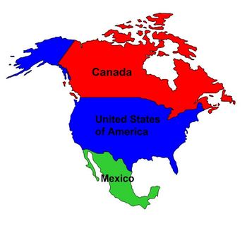
North America Map Labeling
This is a map of North America for students to label
Subjects:
Grades:
5th - 9th
Exploring the Continents
Students visit all 7 continents and learn about major rivers, longest mountain ranges, animals, and more fun facts!
Subjects:
Grades:
2nd - 3rd
Types:
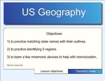
Us Geography - 50 States
This is a Smart Notebook file that focuses on teaching students the location of the 50 states. I have also included some mnemonic devices I made up for my fourth graders to help them remember some of the tricky states. Page 13 is printable to keep as an assessment of mastery and at the end of the file, there is a page with websites that have games connected to learning the 50 states. Have fun! Andrea Cole
Subjects:
Grades:
3rd - 6th
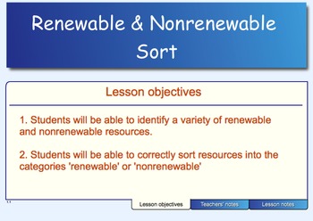
Renewable and Nonrenewable Sort
This is a sorting activity on renewable and nonrenewable resources for the SMART Notebook. This is great to use as a formative assessment at the end of a lesson (or a few lessons) on the types of resources. Students enjoy interacting with the SMART board for this sort. You will need the notebook software in order to open this file; feel free to edit to fit your classroom's needs.
Subjects:
Grades:
3rd - 6th
Types:
Real World Geography Jeopardy
This is a review game I play with my students after they have studied and completed a unit of study on plate tectonics and geography landforms. They have their own drawings of the landforms and this is used as an assessment and/or review of the terms. They have a lot of fun playing the game. They review different geography terms such as volcano, ocean, river, tributary, waterfall and cataract plus many more. There are a total of 25 terms that are reviewed in the game with real world pictures
Subjects:
Grades:
6th - 8th
Types:
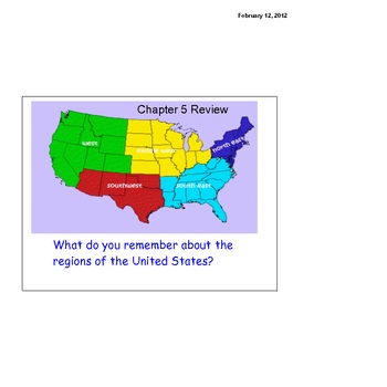
Regions Review
Review the region of the United States with your class using this SMART board interactive lesson. Review facts about each of the regions before having the students complete activities practicing matching the details and regions.
Subjects:
Grades:
3rd - 6th
Types:
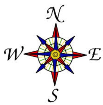
NYC Maps SmartBoard Visuals_2nd Grade
This 6-slide Notebook file is a great for introducing students to NYC maps, identifying the 5 boroughs, rivers and learning where is north, south, east and west using a compass rose.
Subjects:
Grades:
2nd
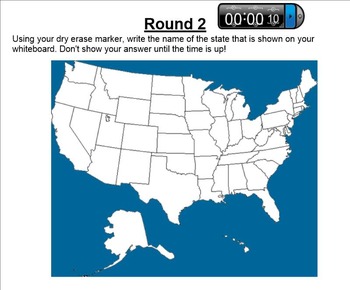
50 States Challenge
Challenge your students and see how quickly they can identify their 50 states with three different rounds of classroom games! This activity works best in teams, small groups, or with a few volunteers in front of the class.
Materials you may need:
Dry erase blank map of the U.S. (or disposable print-outs)
Individual white board (or piece of paper)
Grades:
4th - 8th

Where we live- Map Skills
Smart Board presentation showing Earth, North America, USA, NY, and our town. You can change it to your home town.
Subjects:
Grades:
PreK - 1st
Types:
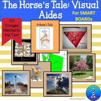
Horses' Tale Vocabulary SMARTboard Notebook
In the text, Horses' Tale by Nancy Luenn, readers follow the adventures of a wooden horse through 100 years of Washington State history and the various cities in which it travels. This text is popular with fourth grade classrooms. In this SMARTBoard notebook, you will find:
A Washington State Map to track the route of the horse.
Pictures for various vocabulary throughout the book.
Links to videos for the Mt St. Helens' eruption and for jumprope games.
*This item can be downloaded with ActivI
Subjects:
Grades:
3rd - 5th
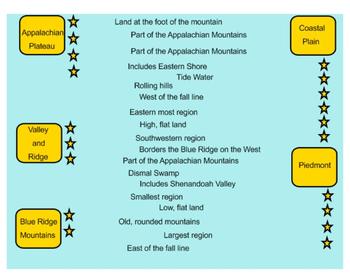
Virginia Studies Regions Review
Virginia Studies Regions Review
Review the characteristics of Virginia's 5 regions with this interactive SmartBoard activity. The students are able to drag each fact to the correct region. Great for end of unit review or SOL review!
Vocabulary: Coastal Plain, Tide water, Piedmont, Blue Ridge Mountains, Valley and Ridge, and Appalachian Plateau
Grades:
4th - 5th
Types:
Regions of the United States
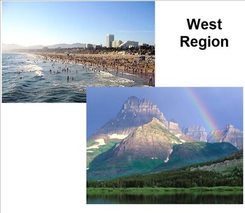
Smart Board document with pictures of each of the 5 different regions of the United States.
Use this as a supplement to go along with your own lesson on geographical regions of the U.S.
Grades:
4th - 5th
Types:
Types of Landforms Smartboard (with Pictures)
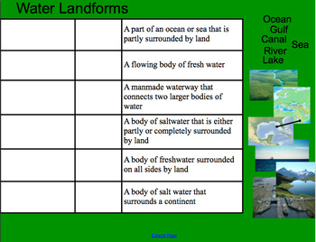
A smartboard activity for matching the landform term and picture example to (easy-to-understand) definitions. The slides are divided into "land," "water," and "mixed" landforms and include some well-known landforms such as "lake" and "island," as well as more difficult ones such as "canal" and "delta." The format allows students to use prior knowledge while exploring new terms. I paired it with this worksheet from superteacherworksheets: https://www.superteacherworksheets.com/landforms/landfo
Subjects:
Grades:
2nd - 6th
Types:
The Colorado Story: Ch. 1 The Land We Call Home Smartboard File
This resource is a Smartboard file with a week's worth of lessons to use while teaching Chapter One in the 4th gr. textbook The Colorado Story. You can distinguish between each day's lesson by the color of the slide(s).
Subjects:
Grades:
4th
Our World / Me on the Map SmartBoard Lesson (Canadian).
Hi! Here is a SmartBoard lesson to accompany Me on the Map activities. While you will have to add in your names and pictures for community, city, and school the rest is done for you! The province used is Alberta, so that may have to be adjusted. Due to the need for you to add some of your own information, I have kept the price free.
Subjects:
Grades:
1st - 4th
Fourth Grade - Social Studies - Regions - Unit 1 - Chapter 1 Test
Fourth Grade, Social Studies, Regions, Unit 1, Chapter 1 Test
Grades:
4th
Types:

Continents and Oceans SMART Notebook
This is an SMART Notebook introduction to the continents and oceans.
Subjects:
Grades:
PreK - 3rd
Types:

Where is Wisconsin?
I've created this interactive Social Studies SMART Board lesson on the location of Wisconsin as well as major cities, rivers, and lakes near our wonderful state.
Grades:
3rd - 5th
4th Grade Geographical Inquiry Project
This smart notebook takes you through supporting questions 2 and 3 of the NY State 4th grade geographical inquiry project. The whole project is included in the second slide. The essential question of the project is-- Does where we live matter? It has the resources from the state on the slides as well as attached. At one point students can use candy for land formations as a way to identify locations of key geographical formations.
Subjects:
Grades:
4th - 7th
Types:
Showing 1-24 of 47 results


