3,047 results
Free 10th grade geography resources
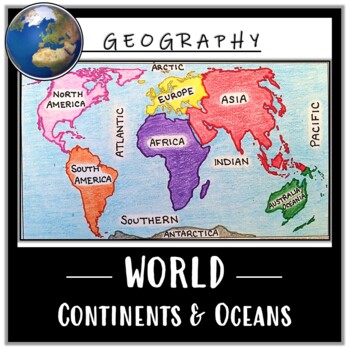
World Map Activity- Label & Color the Continents and Oceans! (Google Compatible)
Use this Continents & Oceans Map Coloring activity to jump-start your lesson! Each student will make their own, personalized world map that focuses on labeling and coloring the continents and oceans, all while enhancing their knowledge of the earth. After the map activity, your students can test their skills with a blank map assessment! A completed, colored map is included to use as reference. This resource is Google compatible, but the blank map is intended to be printed for coloring and
Grades:
5th - 12th
Types:
CCSS:
Also included in: Ancient Civilizations / World Maps BUNDLE- Color & Label Activities!
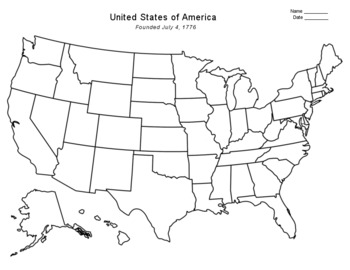
Free - Blank US Map
FREE - Blank US Map. A free, blank US map outline and a northeast-southeast region map. -------------------------------------------------------------------------------------------------------------And for one-stop shopping...SOCIAL STUDIESBundle - US History & US GeographyCalifornia & USA BundleFlorida & USA BundleNew York & USA BundleUS Presidents w/ 12 Graphic OrganizersState Report with Project and Speech - assignment sheetTexas & USA BundleUS States (50 internet
Grades:
PreK - 12th
Types:
Also included in: Top Sellers on TpT
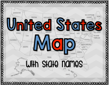
United States Map with State Names
You're search for the PERFECT United States map is over!
This black and white version has student learning in mind and contains the FULL STATE NAMES! This map is also part of my larger bundle on the Electoral College.
Click here to view it!
If you have any questions regarding any part of this product, please do not hesitate to contact me.
Thank you!
Subjects:
Grades:
1st - 12th, Higher Education, Staff
Types:
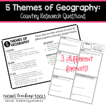
5 Themes of Geography: Country Research Questions
Students (individuals or groups) can research any country and answer the questions related to the five themes of geography. The assignment comes in 3 different formats so you can choose the one that best fits your classroom environment. It can be used as a stand-alone assignment or as the basis for a country project. Students will need access to the internet and/or library resources to complete this assignment. These resources are not editable, so please contact me via email for customization
Grades:
5th - 10th
Types:
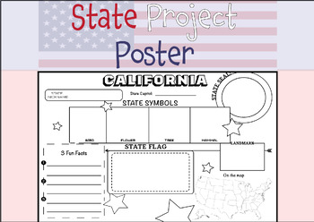
50 STATE RESEARCH PROJECT
These State Report poster templates are a fantastic resource that includes over 50 eye-catching posters to showcase your research project on any of the fifty United States. They are perfect for use throughout the year and are an excellent complement to social studies lessons, helping students to better organize their research. These state posters are not only useful for helping students to organize their research, but they also make great bulletin boards or hallway displays. Your students will b
Subjects:
Grades:
3rd - 12th, Higher Education, Adult Education
Types:
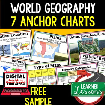
Geography Anchor Charts Sampler Free, World Geography Posters
Geography Free Anchor Charts (Great as Bellringers, Word Walls, and Concept Boards)(Great as Bellringers, Word Walls, and Concept Boards), Mapping Skills Posters, Geography Review Pages, Digital Activity via Google Classroom This bundle will take your through the entire Geography curriculum. It will include all components of Geography. This is perfect for traveling around the world in style. Sign up for email updates and follow me on TPT for updates.Anchor charts are great for representing
Grades:
6th - 12th
Types:
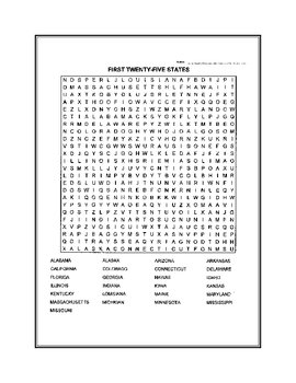
Fifty States Word Search
United States word search. Fifty states broken down in two puzzles.
Subjects:
Grades:
4th - 12th, Higher Education
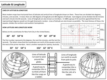
Latitude & Longitude - Map Activity
Please enjoy these free materials to help teach your students about the basics of latitude and longitude. Included in the file are a set of basic worksheets as well as a short PowerPoint presentation to help guide teachers and students through the materials.If you enjoy them, please consider purchasing my larger mini unit available at the link below:Latitude & Longitude : Mini Unit____________________________________________________________________________________Please follow me on the site
Subjects:
Grades:
6th - 12th
Types:
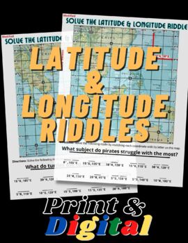
FUN Latitude & Longitude Riddles
This product includes TWO fun and engaging worksheets that will help students practice finding absolute location using their latitude & longitude skills. Both maps include an example to show students how to locate coordinates and how to write them. This product is bundled with the print and digital options. The digital version in in Google Slides format and simple to use!
Grades:
5th - 12th
Types:
Key to the World Scavenger Hunt of Fun Geography Facts - Task Cards
FREE! Introduce your students to World Geography with this Key to the World Scavenger Hunt! Students can investigate fun facts about our world by reading the provided fact cards, or they can utilize the internet of other classroom resources with this fun, engaging activity!Use as a centers activity, as task cards, for a World Walking Tour, in an archeology dig site, or as daily bell ringers.Includes: 20 Question Cards20 Fact CardsStudent HandoutsWrap-up QuestionsAnswer KeyIf you like this Scav
Grades:
3rd - 10th
Types:
Map and Globe Word Wall Vocabulary Cards - geography FREEBIE!
There are 50 map and globe word wall vocabulary cards included in this freebie pack. Words included:atlas, cartographer, compass rose, north, south, east, west, northeast, northwest, southeast, southwest, cardinal, intermediate, globe, northern hemisphere, southern hemisphere, eastern hemispere, western hemisphere, longitude, latitude, grid, coordinates, equator, prime meridian, axis, 0 degrees, scale, key, legend, symbols, North Pole, and South Pole and more. I also included 12 types of maps,
Grades:
2nd - 12th
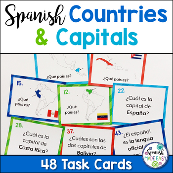
Free Spanish-Speaking Countries and Capitals Task Cards
This is a free set of 48 Spanish task cards over the 21 Spanish-speaking countries and capitals. Students will identify the Spanish-speaking countries on a map and match the countries with their capital cities in Spanish. This is a great activity to get students up and moving while interacting with one another in the target language.Includes:1. Instructions for Use2. Map of Spanish-Speaking Countries (In color and black and white)3. List of Spanish-Speaking Countries and Capitals (In color and b
Subjects:
Grades:
4th - 10th
Types:
Also included in: Spanish-Speaking Countries, Capitals, and Nationalities Bundle
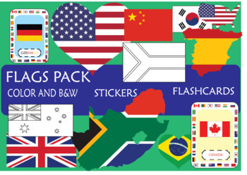
SUPER Flags pack!
In this pack, you will find resources to engage your students on the learning of the
most important countries, sorting by continents: America (EEUU, Canada, Brazil,
Mexico), Europe (UK, Spain, France, Germany, Russia), Africa (South Africa, Morocco, Egypt, Cameroon), Asia (Japan, China, India, South Korea), Oceania (New Zeland, Australia)
This pack includes:
- Flash cards
- Posters (Countries sorting by Continents; Colored and B&W)
- Stickers (flag, map and heart)
I hope that this resourc
Grades:
K - 12th, Higher Education
Google Maps FREEBIE Lesson Plan | Unit Preview | Technology Lesson | Tech Lesson
FREE Google Maps Technology Lesson! Student tutorials provided! (Grades 3-12) In this lesson, you and your students will explore the Earth using Google Maps, Street View, Time-Travel, and go on an Address Hunt using specific addresses, coordinates, and landmarks! You will even find a school that is in the shape of the Millennium Falcon from Star Wars! This lesson is made for use with:PCMacChromebookAll resources are organized for assigning through Google Classroom! (Although Google Classroom is
Grades:
3rd - 12th, Higher Education, Adult Education, Staff
Types:
Also included in: Middle and High School STEM and Technology Curriculum
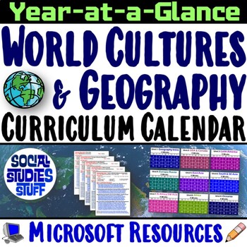
World Cultures and Geography Curriculum Calendar and Pacing Guide | Microsoft
This World Cultures and Geography curriculum calendar helps you plan or enrich your current content. The concept maps show each unit’s focus, big idea questions, and key learning concepts. I have listed links to lessons and bundles sold in my TPT store that I recommend for each unit. Every resource suggested includes a “Teacher Reference Guide” with detailed instructions about the lesson. It is a great resource for new teachers looking for an overview of the class or anyone creating lesson plans
Grades:
6th - 12th
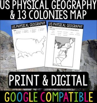
US Physical Geography & 13 Colonies Maps
US Physical Geography and 13 Colonies Maps - Print & DigitalThis is a great activity to do with your students at the beginning of your US History or APUSH class! Whether your students are from the States or you are teaching these classes abroad, this is a good refresher/introduction to the geography of the States.I usually give this out at the beginning of the year so students can become more familiar with the geography we will be referencing throughout the course. Using Google Classroom? No
Subjects:
Grades:
4th - 12th
Types:
Geography Skills - Map Skills Stations
A supplemental lesson intended to reinforce map skills with 20 questions including an answer key. Topics covered include types of maps, reading a map key/legend, scale bar, elevation, population density, cardinal directions, and more! 5 different types of maps, including political, physical, electoral, population density, and historical. Please check out my other lessons and materials!
Grades:
5th - 10th
Types:
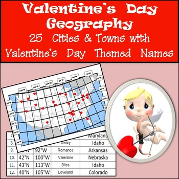
Latitude and Longitude Activity - Valentine's Day, USA
Valentine's Day - Latitude and Longitude. Thinking of a way to keep students focused on Valentine's Day? Here is a great way to keep the theme of Valentine's Day going while giving students an opportunity to reinforce their latitude and longitude skills at the same time. Included in this activity are the coordinates and names of 25 cities/towns in the United States with Valentine's Day themed names. Students plot the coordinates on the map provided with a little heart and then identify whic
Subjects:
Grades:
4th - 12th
Types:
Mapping Skills Lesson Plan Guide for World Geography, Back To School
Mapping Skills Unit Lesson Planning, Mapping Skills Lesson Plan Guide, World Geography Lesson Planning Guide, Mapping Skills Pacing GuideThese lesson plan guides provide links to activities that support each component of the lesson cycle. The is also a pacing guide for the unit and course. There is an overview breakdown of how to plan a lesson and a lesson plan template to help get you organized. Also part of in WORLD GEOGRAPHY MEGA BUNDLE & MAPPING SKILLS BUNDLE. World Geography Lesson Pl
Subjects:
Grades:
6th - 12th
Types:
Map Skills Stations
This product is also part of a bundle!:
★★★Map Skills Bundle★★★
These stations have been used by literally THOUSANDS of teachers. This activity is great for getting students up and moving. They will learn how to analyze different types of maps.
Information covered in these stations:
-types of maps (political, physical, thematic)
-population density
-Text features
-Legend information
-elevation
AND MORE!
Subjects:
Grades:
4th - 10th
Types:
Also included in: Geography Skills GROWING Bundle
World Geography Bell Ringer: FREE WEEK (Print & Digital)
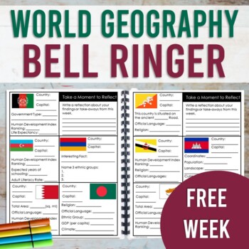
This resource contains a one week sample (with answer key!) of the World Geography Bell Ringer. Your students will use the internet to research and fill in facts about a new country each day of the week. This resource is designed to be used as a daily warm-up or for early finishers. However, this could also be used as a station activity and completed in one sitting. This sample also includes a research tip sheet with website links for your students to access facts and data. Your students will us
Grades:
7th - 10th
Types:
CCSS:
FREE - Map Skills | North America (Gr. 3-7)
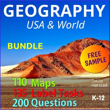
FREE - Map Skills - Geography Bundle. In this free map skills sample: North America Map & Questions (pdf). Map Skills is part of the larger Geography Bundle: Maps, Questions, Labeling, which includes the following:Click links for full previews.A) 28 USA Maps• USA – 13 Colonies• USA – Civil War 1860• USA – Electoral Map• USA – Federal Land• USA – Goat Population• United States of America (abbreviations)• USA – Major Cities & Interstates• USA – Major Cities• USA – Major Cities• USA – Mani
Subjects:
Grades:
K - 12th
Types:
Also included in: Top Sellers on TpT
World Map Activity: Basic Geography
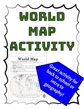
Students will need to view a map to complete this activity. This is great for the beginning of the school year to help students either learn or review major features of the world map. Follow my store for more great products!
Grades:
4th - 12th
Types:
Community, Safety & Traffic Signs Identical Image to Image Matching Boom Cards 3
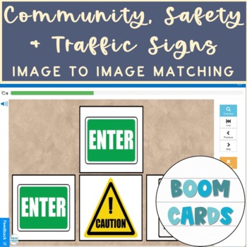
For this community instruction based lesson, students are presented with varying community, traffic, or safety signs visually/in image form. Students are asked to review the provided sign and match it to its identical sign, out of an array of three images. Students will work on identifying alike images, identifying safety signs, and more!Preview the deck of boom cards with the following link: Click hereRelated Products• Life Skills Community Helpers & Occupations Errorless Yes/No Questions
Subjects:
Grades:
1st - 12th, Higher Education, Adult Education
Types:
Showing 1-24 of 3,047 results


