3,305 results
Geography graphic organizers under $5
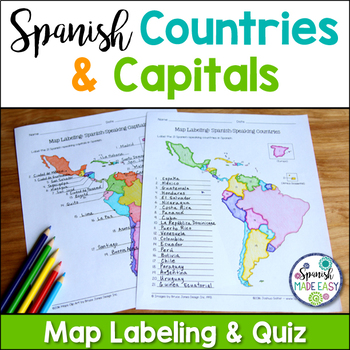
Spanish-Speaking Countries and Capitals Maps and Quiz
This is a map labeling activity and matching quiz over the 21 Spanish-speaking countries and capitals. Students will label and identify the 21 Spanish-speaking countries and capitals in Spanish. This is a great activity when reviewing Spanish-speaking countries and capitals or Spanish geography. Makes a great coloring page. Answer keys are included.
Countries included:
España, México, Costa Rica, El Salvador, Guatemala, Honduras, Nicaragua, Panamá, Cuba, La República Dominicana, Puerto Rico, Ar
Subjects:
Grades:
6th - 12th
Also included in: Spanish Countries and Capitals Geography Bundle
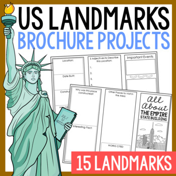
USA LANDMARKS Research Projects | United States Geography Report Activity
This bundle of (15) two-sided tri-fold research brochure templates allows students to dig deeper into facts about famous landmarks in the United States. You'll also find a BLANK template to use with ANY landmark that is not included with this resource. Makes a great addition to your American history and geography unit studies throughout the year. Keep these in your early finisher folder or your sub-folder for no-prep fun.CLICK HERE to save 30% on this resource in the American Landmarks activity
Subjects:
Grades:
3rd - 7th
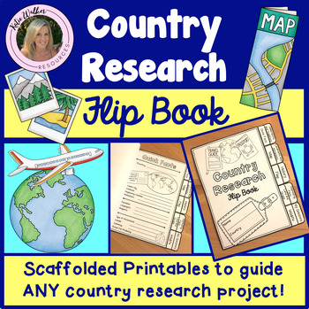
Country Research Project
Scaffolded printable flip book that can be used for ANY country research project!This resource is now available as a bundle with the matching Google Slides version! Click here to view and save $$$. Perfect for distance learning and hybrid teaching. This resource is also available in a bundle that includes 5 of my best-selling flip book resources! Click here to view and save $$$!Click here to view the digital Google Slides version. This ready-to-print flip book template can be used to scaffol
Grades:
3rd - 6th
Also included in: Country Research Project Bundle
13 Colonies Regions New England, Middle, & Southern Colony Regions
In this 13 Colonies and Colony Regions activity, students compare the New England, Middle and Southern Colony Regions. Students read the included student-friendly article (either in a group, individually, or as a class), then fill in the details on the included graphic organizer. This serves as a great intro to the 13 Colonies, or as a great way to learn the varying characteristics of the New England, Middle, or Southern colony regions.This resource includes a paper in-class version and a 1:1
Grades:
5th - 8th
Types:
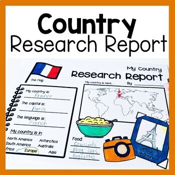
Country Research Report Worksheets and Graphic Organizers Google Slides
Are you looking for engaging activities for writing a country research project? These country research graphic organizer worksheets are perfect for your literacy and social studies lessons about countries. They are ideal for research projects and report writing. They are also great for reading lessons with informational texts.These informational essay graphic organizers are offered as no prep printables, as well as in digital formats (TPT Easel and Google Slides). Here's the thing. You want your
Subjects:
Grades:
1st - 3rd
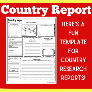
COUNTRY RESEARCH REPORT Template Project Projects | 1st 2nd 3rd 4th 5th Grade
COUNTRY RESEARCH REPORT Template Project Projects | 1st 2nd 3rd 4th 5th GradeYour students will love this country research report template! Perfect for your students to use as they research and write about a different country. This country research graphic organizer template helps them to organize their facts and information in a clear and concise way!❤ CLICK HERE TO FOLLOW GREEN APPLE LESSONS!
Subjects:
Grades:
1st - 5th
Also included in: GRAPHIC ORGANIZER ORGANIZERS Report Project Template BUNDLE
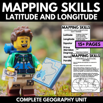
Mapping Skills And Activities - Latitude Longitude Maps and Globes - Geography
Mapping Skills and Activities for Geography featuring Latitude and Longitude! For these geography activities, students practice mapping skills while learning about latitude and longitude in a fun and engaging way. A variety of fun mapping activities are included - use these latitude and longitude activities for your upcoming geography unit or mapping unit! The included activities would make a great addition to a geography interactive notebook!This activity includes the following latitude and lon
Grades:
1st - 4th
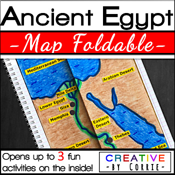
Ancient Egypt Map Foldable for Interactive Notebooks
Spice up your Ancient Egypt geography lesson with this fun map foldable activity! This foldable folds on two lines so that the sides meet in the middle to form a map of Ancient Egypt. The foldable then opens up to 3 activities which will sharpen your students’ knowledge about the geography of Ancient Egypt. The activities on the inside are focused on three topics:Natural barriers that protected Ancient EgyptWays the people of Ancient Egypt used the Nile RiverFacts about the Nile River What’s i
Subjects:
Grades:
3rd - 9th
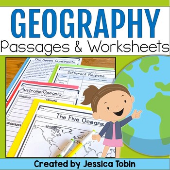
Geography Unit, US & World Geography Worksheets and Passages, Social Studies
This no-prep world geography social studies resource is a perfect supplement to use for your lessons. It offers an introduction to geography and large geographical designations and then focuses on each of the seven continents. There are reading comprehension passages, graphic organizers, cut and glue activities, and answer keys. There is also a digital conversion of this resource available in Google Slides. They have been digitally converted so that you can use the paper version or digital conve
Subjects:
Grades:
2nd - 3rd
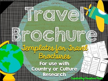
Travel Brochure
Students will love creating their own travel brochure! Students can research, create, and present information about any country! Great for culture studies and country presentations. This format can also be made into a travel style pamphlet/booklet with multiple pages. Choose from 8 different cover layouts and 6 different inside layouts. Includes sections for:*pictures*map*Interesting Facts*Bubble Map for vocabulary words*blank picture/writing lines for any additional information *culture*econom
Grades:
1st - 5th
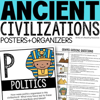
Ancient Civilizations GRAPES Posters Ancient Greece Ancient Rome Ancient China
Help your students learn and organize info about ancient civilizations with these G.R.A.P.E.S. posters, guiding questions, and graphic organizers! The GRAPES Ancient Civilizations Poster and Graphic Organizer Set is an easy acronym to organize information for the basic traits of ancient civilizations. G.R.A.P.E.S. is an acronym for:G- GeographyR- ReligionA- AchievementsP- PoliticsE- EconomicsS- Social StructureGRAPES is an effective way to learn and organize information about different civilizat
Grades:
6th - 8th
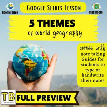
5 Themes of Geography Google Slides and Note Taking Guide
The 5 Themes of Geography Google Slides lesson is a great way to introduce students to the Five Themes of Geography: Location, Region, Human Interaction with the Environment, Movement and Place. The Google Slides purchase also comes with a student note taking guide/graphic organizer (for print and digital learning) There is also a completed note-taking guide for teachers to use as a key, or to provide for their EL or IEP students. The following topics are covered:Why the 5 themes are importantH
Grades:
7th - 10th
Types:
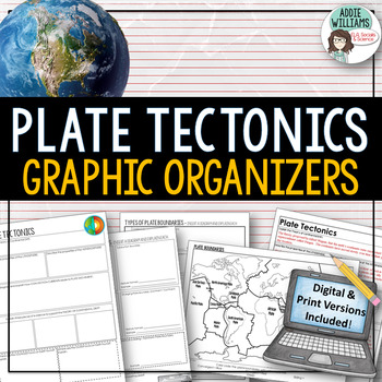
Plate Tectonics / Boundaries Graphic Organizers - PRINT & DIGITAL
Teaching about plate boundaries and plate tectonics? -These graphic organizers are a great way for students to review different plate boundaries, learn about the Theory of Plate tectonics and organize their notes /ideas. Excellent for review or for group work. Includes 3 graphic organizers to mix and match, a Review/Challenge Activity Summary Activity, Mapping Worksheet, and Extension / Lesson Ideas. Includes answer keys for the graphic organizers.This resource also includes a link to a digita
Subjects:
Grades:
7th - 10th, Adult Education
Types:
Also included in: Plate Tectonics / Earthquakes / Volcanoes Organizers | PRINT & DIGITAL
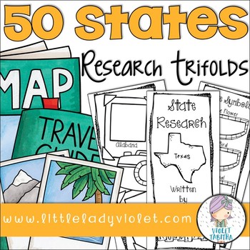
50 States Research Project Report Trifold Brochures
Looking for a fun way to research the Fifty States? This packet includes double sided brochures for each of the United States! Students will use these templates to record their research project. Also included is an early finisher map. Students can either use it to label or color the states.
The brochures include:
State Symbols (state bird, state flower, state animal, state flag)
Map Outline
Businesses and Natural Resources
Interesting Facts
Where on the Map
Population
Capital
Current Govern
Subjects:
Grades:
3rd - 5th
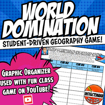
World Domination! Ancient or United States US Geography Game Answer Document
This is the answer document for the US History, World History, and Ancient History physical geography games via Instructomanias YouTube channel posted at:View video playlist!Just copy and paste the link above to find completely student-driven physical geography games for the following regions:⭐1. The United States⭐2. World Continents and Oceans⭐3. Japan⭐4. China⭐5. India⭐6. Italy⭐7. Europe⭐8. Greece⭐9. Ancient Mesopotamia⭐10. Africa⭐11. Mexico⭐12. South AmericaMy class LOVES this geography game!
Grades:
4th - 9th
Types:
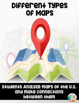
Analyzing and Comparing Different Types of Maps
Different Types of Maps The main goal of this lesson is for students to identify, analyze, and make connections between different types of mapsAlthough not necessary, having computers or Ipads available for students will allow them better view each map in full color. If this is not possible, the maps can still be projected onto a screen. A Powerpoint with each map is provided for this17 Slide PowerPoint comes with:Do NowInformational ChartClass NotesAssessment QuestionsActivity InstructionsConc
Grades:
5th - 10th
Also included in: Geography Unit Bundle
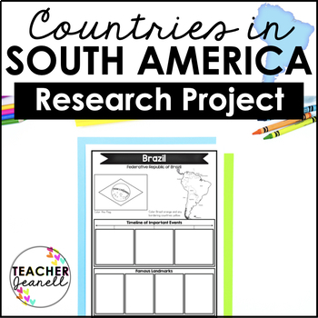
Country Research Project Posters - South America
The South America Research Project is the perfect tool for teachers looking for an engaging way to help their students learn about countries and territories in South America. With this unique project, teachers can allow students to explore a South American country or territory of their choice in-depth, gaining a greater understanding and appreciation of its geography, population, government type, current leaders, currency, and much more.The research process has been simplified with comprehensive
Grades:
3rd - 8th
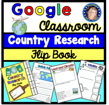
Country Research Project - Google Slides - Distance Learning
Best selling resource now available for Distance Learning! Google Slides scaffolded printable flip book that can be used for ANY country research project! This resource is now available as a bundle with the matching printable version! Click here to view and save $$$. Perfect for hybrid teaching.This digital flip book template can be used to scaffold the research process for any country research project! This comprehensive flip book is divided into sections to support your students as they cond
Grades:
3rd - 6th
Types:
Also included in: Country Research Project Bundle
Los Mapas "Yo en el Mapa " Habilidades usando mapas Where We Life
Los Mapas " Yo en el Mapa " Habilidades usando mapas
(Map Skills - Me on the Map / Where We Life - Donde vivimos)
Mini Unit
Por favor asegurece de leer la descripcion y ver el documento previo para asegurar que este producto cubre sus necesidades.
Con este producto los estudiantes aprendedran sobre la historia de los, los elementos basicos y podran hacer mapas.
Contenido de este documento:
Lecturita de la historia de los mapas.
Librito sobre los mapas.
KWL
9 Gráficos de datos
Cuestionario
Subjects:
Grades:
PreK - 2nd
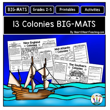
13 Colonies Fun Activities: BIG-MATS are FUN in a BIG Way! {Placemat 11x17}
13 Colonies BIG-MATS Activities are perfect to reinforce learning in a unique way. They are an excellent activity to use at the end of the lesson, as a culminating group activity, or to review for an upcoming test. BIG-MATS are FUN in a BIG way! Answers keys are included. This resource includes SIX---11 x 17 BIG-MATS---with TWO for each region--New England, Mid-Atlantic, and the Southern Colonies in a PDF. Answer keys are included in this pack. Simply print and copy these back-to-back in black a
Grades:
2nd - 5th
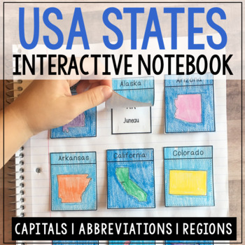
USA CAPITALS & REGIONS Interactive Notebook Activity | Coloring Craft Project
This state capitals, abbreviations, and regions set of interactive notebook flaps are no prep and stress-free! They've even recently been reformatted for less cutting. This project will take 2 - 3 normal class periods to complete. Play videos about the states while your students work on their projects. Then, discuss the commonalities between each region. This project makes a fun addition to any state history or geography unit!CLICK HERE to save 35% on this resource in the USA Geography Bundle!Th
Grades:
3rd - 6th
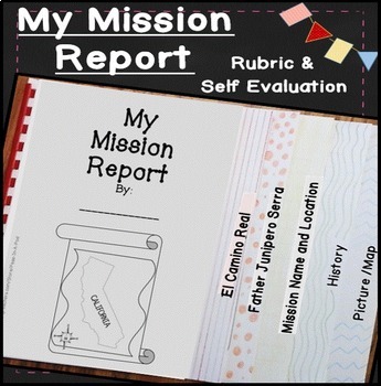
California Missions Project 4th Grade Social Studies Mission Report
4th Grade Social Studies California Missions Project - Enhance your 4th grade California history curriculum with this engaging and educational California Missions Project. This fun, flip book style mission report provides a hands-on learning experience for students studying the California missions.✅ What's included: ✅Flip Book Style Mission Report:An interactive and engaging flip book format for students to report on their chosen California mission.Black Line Masters:Easy-to-copy black line temp
Subjects:
Grades:
4th
CCSS:
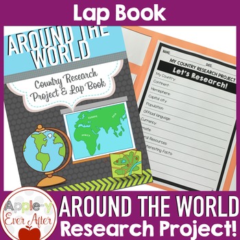
Countries Around the World Research Lapbook Project
This Countries of the World Research Project has many topics for your students to discover about the world around us! This research project is one of my favorite ways to encourage students to use and grow their researching skills and demonstrate their understanding through a fun and creative project that includes researching, drawing and coloring. Product updated January 2022Materials needed:- The Included printed pages- Books or Research Technology (Chrome Book, Tablet, Computer, etc.)- Large p
Grades:
2nd - 6th
Mulan Movie Guide Questions with KEY
Allow your students to watch Disney's Mulan while experiencing culture and answering meaningful questions that all pertain to accurate cultural depictions. Through these questions, students are engaged in retaining factual information as well as opinion and critical thinking based questions. Students will be asked questions on topics such as: The nomadic group of conquers in the movie--the Huns (or Mongols) The Great Wall of ChinaConfucianism & filial piety (respect and honor to parents and
Subjects:
Grades:
5th - 11th
Showing 1-24 of 3,305 results


