6,518 results
Not grade specific geography homework
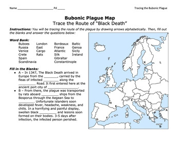
Bubonic Plague "Trace the Black Death" Map Activity 2.0 / Medieval Europe
This is a fantastic map activity to teach students characteristics of the Black Death as well as the routes along the Silk Route and sea trade routes that the Plague travelled along. Like "connect the dots," students will fill out a map, trace the plague, and answer essential questions. A key is provided.CLICK HERE for a primary source assignment on the Bubonic Plague.©Founding Fathers USA. All rights reserved by Founding Fathers USA. This product is to be used by the original downloader only. A
Subjects:
Grades:
Not Grade Specific
Types:
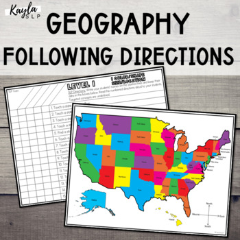
Speech Therapy Following Directions: USA Map (Geography)
This resource is a hands-on following directions activity for elementary, middle, and high school students. This could be used for speech-language therapy or as a special education activity to tie in USA geography concepts with therapy goals. It's recommended for students in 1st grade and above.**UPDATED 06/20/22** The entire product has been updated! It now includes improved graphics, easy-to-read fonts, updated following directions/concepts tasks, and an improved group data collection system.
Subjects:
Grades:
Not Grade Specific
Types:
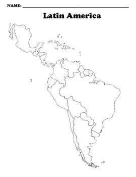
Latin America Map (Blank)
Blank map *Digitally Edits for use with Google Classroom
Subjects:
Grades:
Not Grade Specific
Types:
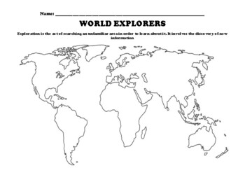
Age of Exploration Mapping Worksheet (World Explorers)
Map each of the routes these famous explorers took to reach their destinationsChristopher Columbus: In (Light Blue) map the route from Spain to the AmericasHernan Cortes: In (Orange) map the route from Spain to Mesoamerica and the Aztec EmpireFrancisco Pizzaro: In (Dark Green) map the route from Spain to the Inca Empire around Cape HornVasco Da Gama: In (Purple) map the route from Portugal to India around AfricaFerdinand Magellan: In (Red) map the route around the world with a stop in the Philip
Grades:
Not Grade Specific
Types:
Social Studies, History, and World Geography "No Prep" Sub Plans for Substitutes
Help your history, world geography, or social studies sub (substitute teacher)! This variety pack of resources is for social studies and world geography teachers that need activities that a substitute teacher (sub) can quickly and easily give to a wide variety of students.Teachers buy this pack to have differentiated activities that cover a wide range of social studies topics and that appeal to and are appropriate for a wide range of students.It really is worth buying the bundle to have eight i
Grades:
Not Grade Specific
Types:
AP Human Geography-UNIT 7 Bundle-ECONOMIC DEVELOPMENT PATTERNS AND PRO
You asked for it, and I made it!This is a growing bundle of all of my UNIT 7 materials for AP Human Geography that covers INDUSTRIAL & ECONOMIC DEVELOPMENT PATTERNS AND PROCESSES. I'm constantly making new materials so you will need to check back for new content once in awhile to update your download. **Please take note that this is not ordered in any particular manner and does not give you pacing guides or instruct you on what is best practice in YOUR classroom. This is just collections of
Grades:
Not Grade Specific
Types:
United State Geography - Blank Map Package
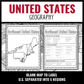
This resource is perfect for teaching students American geography! This fully editable map set includes all fifty states split into five regions, and one full map of the United States, allowing you to use the maps for multiple lessons. Every student needs to know the state capitals and this product may be used as an in-class assignment, homework, or a fill-in-the-blank test. For an interactive project, have your students draw landmarks and major physical characteristics on the map. Or they can c
Grades:
Not Grade Specific
Types:
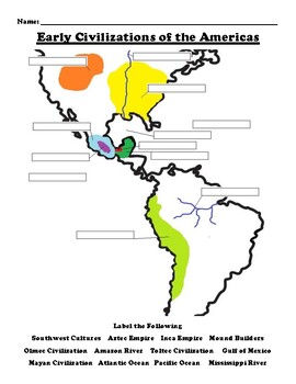
Early Civilizations of the Americas Mapping Worksheet (Mayan, Inca, Olmec,Aztec)
Label the FollowingSouthwest Cultures Aztec Empire Inca Empire Mound BuildersOlmec Civilization Amazon River Toltec Civilization Gulf of MexicoMayan Civilization Atlantic Ocean Pacific Ocean Mississippi River
Grades:
Not Grade Specific
Types:
Also included in: Olmec Civilization Worksheet Bundle (14 Total)
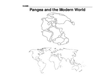
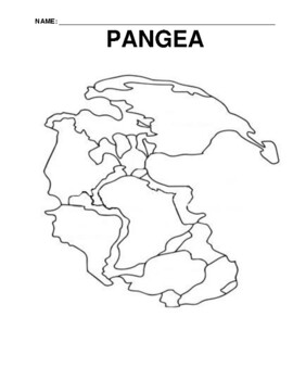
Pangea and Modern World Blank Maps side by side
Pangea and Modern Map side by side
Grades:
Not Grade Specific
Types:
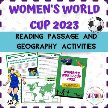
Women's Football World Cup 2023 || READING PASSAGE + GEOGRAPHY | PACK 3 | Soccer
⚽ From Goals to Globe: get your students to learn all about the Women's World Cup and discover the world with this activities pack! ⚽As I'm a huge fan of women's soccer, I decided to create 4 PACKS filled with different FUN and EDUCATIONAL activities for younger and older students. With these resources, your students will enjoy and also learn abouth both, the women's game and the 32 countries that will be competing in Australia and New Zealand. I hope you enjoy them as much as I did creating the
Subjects:
Grades:
Not Grade Specific
Types:
Also included in: Women's Football World Cup 2023 || ACTIVITIES BUNDLE: SOCCER + GEOGRAPHY
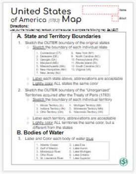
“United States Map (1783)” after the American Revolution (Treaty of Paris)
The “United States Map (1783)” is a printable map that has been designed as an introduction to the early United States of America and acquired territories (Treaty of Paris) after the American Revolution. Please note that an answer key is NOT included with this purchase.Included in the purchase are: “United States Map (1783)” - Digital Copy + I would strongly recommend downloading as a .pdf + Post the .pdf in Google Classroom“United States Map (1783)” - Printable Copy - preformatted for prin
Grades:
Not Grade Specific
Types:
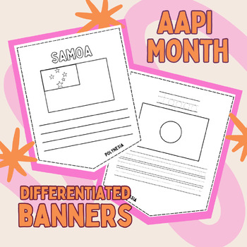
Asian American Pacific Islander Month DIFFERENTIATED Flag Banners
May is Asian-American Pacific Islander Month! Let's celebrate by decorating flags from countries across Asia and the Pacific Islands and writing about their culture!Includes 42 countries:High Level (4 normal lines to write)Med High (3 normal lines to write)Med Low (handwriting lines and traceable country name)Low (handwriting lines with sentence stem and traceable country name)Self-assessment checklist for each levelActivities can range from a detailed independent research project to a group ass
Grades:
Not Grade Specific
Types:
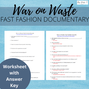
War on Waste: Fast Fashion (worksheet) | Distance learning
This resource includes a worksheet and answer key to complement the War on Waste: Fast Fashion episode. This documentary is a fantastic resource for engaging students in the concepts of sustainability, in a way that is relevant and appealing to them. Disclaimer: I do not own the YouTube video, just the worksheet and answer key contained in this download. Please make sure that you have access to the video in your country/location before purchasing. Terms of UseThis teaching resource includes one
Subjects:
Grades:
Not Grade Specific
Types:
Also included in: CLIMATE CHANGE BUNDLE | ANTHROPOGENIC CLIMATE CHANGE
Countries of the World Paraphrasing & illustration Worksheet Packet (206 Total)
This fun and informative activity can be done in class or for homework. It allows students to practice reading, writing, and illustrating. Assignment:1. Students/Teacher read the definition of Paraphrasing2. Students read an Article on this Country (Location, Geography, Culture, Government, Natural resources and wildlife)3. Students Paraphrase the information in the country in their own words 4. Students illustrate what they learnedCountries Included:AfghanistanAlbaniaAlgeriaAmerican SamoaAndorr
Grades:
Not Grade Specific
Types:
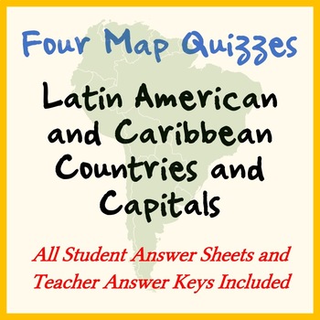
FOUR MAP QUIZZES -- LATIN AMERICA COUNTRIES AND CAPITALS (key included)
This is a turnkey map-based quiz / test on Latin American countries and capitals. Just print, copy, and go! This product includes four Latin American countries and capitals quizzes:- Latin American Countries and Capitals (includes major Caribbean countries): Quiz Map, Student Answer Sheet, Teacher Answer Key- Latin American Countries Only (includes major Caribbean countries): Quiz Map, Student Answer Sheet, Teacher Answer Key- Latin American Countries and Capitals (excludes Caribbean): Quiz Ma
Grades:
Not Grade Specific
Types:
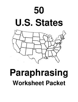
The 50 U.S. States Paraphrasing Worksheet Packet
Includes all 50 US StatesThis fun and informative activity can be done in class or for homework. It allows students to practice reading, writing, and illustrating. Assignment:1. Students/Teacher read the definition of Paraphrasing2. Students read an Article on this State(Description of the Location, geography, the year it became a state, capital, state bird, state flower, most famous landmark, natural resources, and wildlife)3. Students Paraphrase the information in the State in their own words
Grades:
Not Grade Specific
Types:
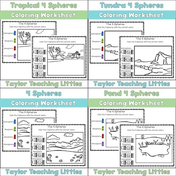
4 Spheres Coloring Worksheets Bundle
Looking for engaging, no prep worksheets to teach your students about the 4 Spheres? You will love this 4 Spheres Coloring Bundle and so will your students! See Preview for exactly what is included in this product.Included:4 Spheres Coloring WorksheetTundra 4 Spheres Coloring WorksheetTropical 4 Spheres Coloring WorksheetPond 4 Spheres Coloring Worksheet Interested in more products? Follow me to receive updates on new products!Don't forget to receive TPT credits to use toward your purchases!Firs
Subjects:
Grades:
Not Grade Specific
Types:
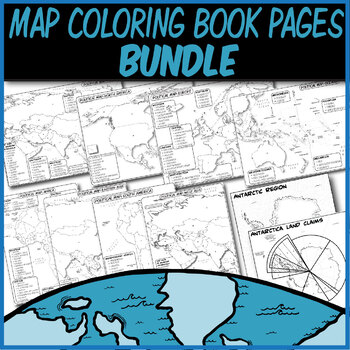
*Coloring Book Pages* TEN Political Maps **Coloring Book Series**
This is a collection of my Geography Coloring Book series.These blank political maps are ready for students to color. Each territory and independent country is labeled with a letter than corresponds to its name (which they can also color-code).This Bundle Includes:Antarctica Land Claims & Disputes-Labeled Map **Coloring Book Series**Blank N. America & C. America Political Map **Coloring Book Series**Blank Europe Political Map **Coloring Book Series**Blank South America Political Map **Co
Grades:
Not Grade Specific
Types:
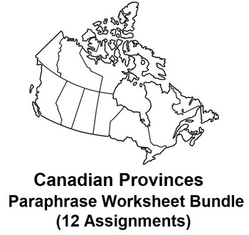
Canadian Provinces Paraphrasing Worksheet Bundle (12 Assignments)
This fun and informative activity can be done in class or for homework. It allows students to practice reading, writing, and illustrating.Assignment:1. Students/Teacher read the definition of Paraphrasing2. Students read an Article on this Province(History, Location, Geographic features, Natural resources, and Wildlife)3. Students Paraphrase the information in their own words4. Students illustrate what they learned* See Previews for all 12 Provinces
Grades:
Not Grade Specific
Types:
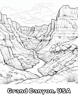
Worldly Wonders: A Global Landscape Colouring Book 60 Unique Pages
Embark on a captivating journey across the continents with "Worldly Wonders: A Global Landscape Colouring Book." This unique colouring book invites you to explore the diverse and breath-taking landscapes that adorn our planet. From the majestic peaks of the Himalayas to the serene beauty of the Maldives' turquoise waters, each page captures the essence of a different corner of the world. Immerse yourself in the intricate details of iconic landmarks like the Grand Canyon and the Great Barrier Ree
Subjects:
Grades:
Not Grade Specific
Types:
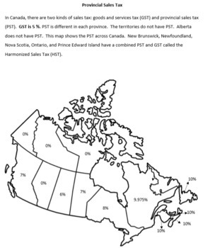
Sales Tax Across Canada: Calculating GST, PST, and HST
This product was designed for high school life skills students learning how to calculate GST and PST or HST. It contains basic information on different sales tax rates across Canada, a map of these rates, and an activity in which students select three different items from a flyer (not included) and calculate the tax on these items in their own and three other provinces. This resource also includes five extension questions to help your students develop higher order thinking skills. This resour
Subjects:
Grades:
Not Grade Specific
Types:
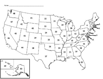
USA Map Quiz (With Word Bank)
A blank map of the United States of America, numbered 1 - 50. On the back of the page (or second page) there are 50 numbered lines and a word bank with each state listed below the numbered lines.This is designed to be a quiz (or test) but can also work great as a homework assignment, warm-up, or review activity.
Subjects:
Grades:
Not Grade Specific
Types:
Also included in: USA Map Quiz Bundle
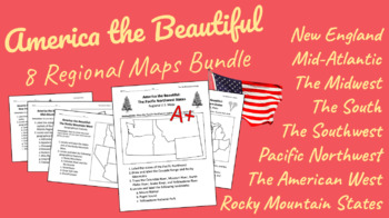
U.S. Regional Maps Bundle from New England to the Pacific Northwest!
This bundle contains EIGHT regional geographical maps (and state & capital maps) for each of the American regions:New EnglandMid-AtlanticSouthMidwestRocky Mountain StatesSouthwestThe WestPacific NorthwestAnswer keys are included!
Subjects:
Grades:
Not Grade Specific
Types:
Showing 1-24 of 6,518 results


