505 results
Common Core RH.6-8.7 independent work packets
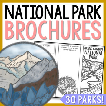
NATIONAL PARK Research Projects | USA American Landmarks Report Activities
This bundle of 30 national park brochure projects is a fantastic way for your students to explore a huge variety of landscapes across North America. Each no-prep activity can be completed in a few different ways. You can provide your students with the information to fill out their brochures, or have them find the information through Internet research. If your students are inexperienced with Internet research, guide them through the process by projecting a search that you lead. NPS.gov and Britta
Grades:
3rd - 8th
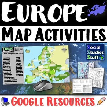
Geography of Europe Map Practice Activities | Print and Digital | Google
End the cycle of bored students copying from books to label maps! Your classes think critically with these digital, interactive, geography activities. First, students answer questions about Europe by analyzing various physical & political maps of the region. Then, a drag & drop challenge assesses their learning of the locations. This resource also includes a printable worksheet that takes labeling maps to the next level! They create a map using only absolute & relative location clues
Subjects:
Grades:
5th - 12th
CCSS:
United States Complete Primary Source Analysis Bundled Set Civil War- Modern Day
This is the ULTIMATE U.S. History Primary Source Analysis Complete Bundle Set that will save you time and energy as you prepare your students to practice the valuable Social Studies skill. From the Civil War to Modern America, the bundle includes 84 pages of images, quotes, charts, graphs and so much more with guiding questions for better student understanding or review of the social, economic, and political changes for each major national era and the decades from 1860 to 2014. Topics begin wi
Grades:
5th - 11th
Also included in: U.S. History Custom Bundle
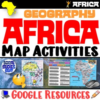
Geography of Africa Map Practice Activities | Print and Digital | Google
End the cycle of bored students copying from books to label maps! Your classes think critically with these digital, interactive, geography activities. First, students answer questions about Africa by analyzing various physical & political maps of the region. Then, a drag & drop challenge assesses their learning of the locations. This resource also includes a printable worksheet that takes labeling maps to the next level! They create a map using only absolute & relative location clues
Subjects:
Grades:
5th - 12th
CCSS:
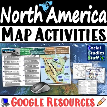
Geography of North America Map Practice Activities | USA Canada Mexico | Google
End the cycle of bored students copying from books to label maps! Your classes think critically with these digital, interactive, geography activities. First, students answer questions about North America by analyzing various physical & political maps of the region. Then, a drag & drop challenge assesses their learning of the locations. This resource also includes a printable worksheet that takes labeling maps to the next level! They create a map of the United States, Canada, and Mexico u
Subjects:
Grades:
5th - 12th
CCSS:
Five Themes of Geography Research Project PBL | 5 Themes City Mosaic | Microsoft
This fun project challenges students to research and showcase each of the Five Themes of Geography by creating mosaics! First, they research the Location, Place, Region, Movement, and Human-Environment Interactions of a city. Then, they design colorful mosaics with images and descriptions explaining its geography. The activity can be adapted to any location. A rubric sets clear expectations for your students and makes grading easy! Creating mosaics is a fun way to assess student learning while l
Subjects:
Grades:
5th - 12th
CCSS:
Medieval or Feudal Japan Bundle : Unit Lesson Plans & Activities Digital & Print
With over 320 pages divided into 8 easy-to-follow subfolders, you’ll have all of the Medieval Japan lesson plans, activities, reading passages, guided notes with worksheets, & assessments you’ll need to teach like a superhero! This awesome Medieval History activities bundle is printable and student-centered. Students will explore and review the big idea six key concepts (GRAPES). Plus, all of our curriculum units have embedded student accountability with assessments at each step, so progress
Grades:
5th - 8th
My World Culture and Geography Project | FUN Cultural PBL Activity | Microsoft
Students showcase their own unique cultures and geography with this fun “My World” project. First, a brainstorm activity challenges them to consider how cultural influences and geographical factors have shaped their lives. Then, they design creative and informative posters all about their WORLDS! Guided slides help you explain the project and a fill-in rubric makes grading easy. This project-based learning activity promotes cross-cultural understanding and students love decorating their globes w
Grades:
4th - 10th
CCSS:
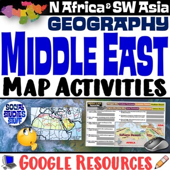
Middle East Map Practice Activities | SW Asia & North Africa Geography | Google
End the cycle of bored students copying from books to label maps! Your classes think critically with these digital, interactive, geography activities. First, students answer questions about the Middle East by analyzing various physical & political maps of the region. Then, a drag & drop challenge assesses their learning of the locations. This resource also includes a printable worksheet that takes labeling maps to the next level! They create a map of Southwest Asia & North Africa usi
Subjects:
Grades:
5th - 12th
CCSS:
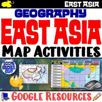
Geography of East Asia Map Practice Activities | Print and Digital | Google
End the cycle of bored students copying from books to label maps! Your classes think critically with these digital, interactive, geography activities. First, students answer questions about East Asia by analyzing various physical & political maps of the region. Then, a drag & drop challenge assesses their learning of the locations. This resource also includes a printable worksheet that takes labeling maps to the next level! They create a map using only absolute & relative location cl
Subjects:
Grades:
5th - 12th
CCSS:
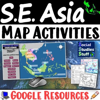
Geography of Southeast Asia Map Practice Activities | SE Asia Region | Google
End the cycle of bored students copying from books to label maps! Your classes think critically with these digital, interactive, geography activities. First, students answer questions about Southeast Asia by analyzing various physical & political maps of the region. Then, a drag & drop challenge assesses their learning of the locations. This resource also includes a printable worksheet that takes labeling maps to the next level! They create a map using only absolute & relative locati
Subjects:
Grades:
5th - 12th
CCSS:
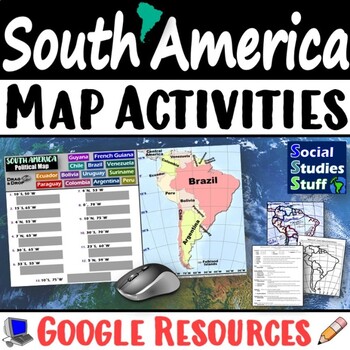
Geography of South America Map Practice Activities | Print and Digital | Google
End the cycle of bored students copying from books to label maps! Your classes think critically with these digital, interactive, geography activities. First, students answer questions about South America by analyzing various physical & political maps of the region. Then, a drag & drop challenge assesses their learning of the locations. This resource also includes a printable worksheet that takes labeling maps to the next level! They create a map using only absolute & relative locatio
Subjects:
Grades:
5th - 12th
CCSS:
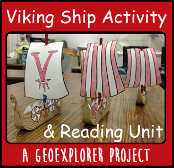
Viking Ship Interactive Distance Learning Geoexplorers Reading Project Vikings
Explore the world with my Geoexplorers projects! This project focuses on the Viking ships of Norway and Scandinavia. Have your students read the included story about Vikings and answer questions related to the text. A second page using the vocabulary will help the students find the meaning of new words. Once the reading lesson is complete, your students get to build their own Viking ship! This lesson can be used independently, or to enrich a unit already being taught. The page of directions can
Subjects:
Grades:
3rd - 8th

This Day in History Newspaper Informational Readings BUNDLE - Daily Bellringers
Would you like to introduce topics from This Day in History into your daily reading schedule? Do you need a no-prep resource to practice literacy skills in your Reading lessons? Want to address Current Events in EVERY MONTH with a Historical twist? This resource is perfect for the classroom teacher, interventionist or librarian looking for fun and engaging nonfiction readings from history!Take a look at the PREVIEWS to see everything you'll receive with the Complete History in Headline News Bu
Grades:
4th - 6th
World Map Practice Activities BUNDLE | 11 Continents and Regions | Google
End the cycle of bored students copying from books to label maps! Your classes will think critically with these engaging practice activities. First, they answer geography questions by analyzing various physical & political maps covering 11 different world regions. Then, a drag & drop challenge assesses their learning of the locations. Each world region includes a printable worksheet that takes labeling maps to the next level! Students create a map using only absolute & relative locat
Subjects:
Grades:
5th - 12th
CCSS:
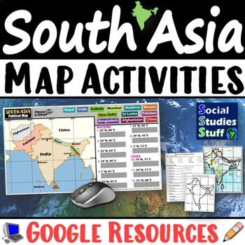
South Asia Map Practice Activities | India Geography | Print & Digital | Google
End the cycle of bored students copying from books to label maps! Your classes think critically with these digital, interactive, geography activities. First, students answer questions about South Asia by analyzing various physical & political maps of the region. Then, a drag & drop challenge assesses their learning of the locations. This resource also includes a printable worksheet that takes labeling maps to the next level! They create a map of India using only absolute & relative l
Subjects:
Grades:
5th - 12th
CCSS:
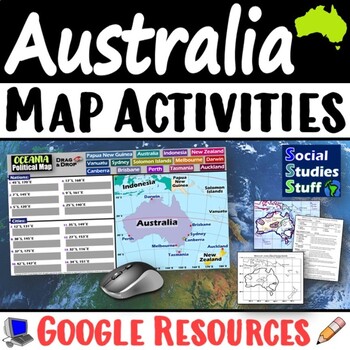
Geography of Oceania Map Practice Activities | Australia Region | Google
End the cycle of bored students copying from books to label maps! Your classes think critically with these digital, interactive, geography activities. First, students answer questions about Australia & Oceania by analyzing various physical & political maps of the region. Then, a drag & drop challenge assesses their learning of the locations. This resource also includes a printable worksheet that takes labeling maps to the next level! They create a map using only absolute & relati
Subjects:
Grades:
5th - 12th
CCSS:
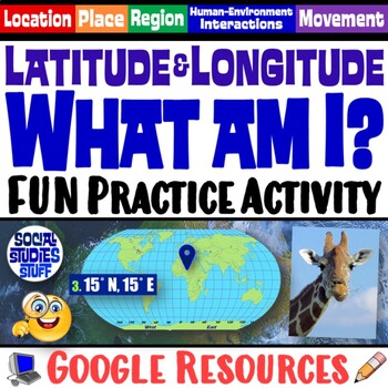
FUN Latitude Longitude Practice Activity | Geography Location Clues | Google
Students & teachers LOVE this digital “What am I?” activity! Challenge your class to use latitude & longitude coordinates to plot the locations of mystery animals on a world map. Then, they read clues & try to guess what animal lives at each absolute location. This activity integrates science & social studies curriculum and keeps your students highly engaged. Your purchase has print & interactive, digital versions of the materials. Made for traditional in-class learning or di
Subjects:
Grades:
4th - 8th
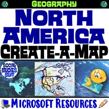
North America Create a Map Worksheet | Absolute and Relative Location Map Clues
End the cycle of bored students copying from a book to label maps! This Create-a-Map Worksheet takes labeling maps to the next level! Challenge your class to think critically using only absolute & relative location clues. Easy-to-follow directions make these a fun way to integrate mapping in your classroom! Everything you need is included!Includes Printable Resources: Microsoft & PDFPrintable Map Worksheet"Where is it?" Clues WorksheetAnswer KeyTeacher Reference GuideLocations Covered:US
Subjects:
Grades:
5th - 12th
CCSS:
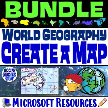
World Geography Create a Map BUNDLE | Absolute & Relative Location Clues WS
End the cycle of bored students copying from a book to label maps! This BUNDLE of Create-a-Map Worksheets takes labeling maps to the next level! Challenge your class to think critically by creating 11 maps of various world regions using only absolute & relative location clues. Easy-to-follow directions make these a fun way to integrate mapping in your classroom! Everything you need is included! Includes Printable Resources: Microsoft & PDF11 "Where is it?" Clues Worksheets11 Printable Ma
Subjects:
Grades:
5th - 12th
CCSS:
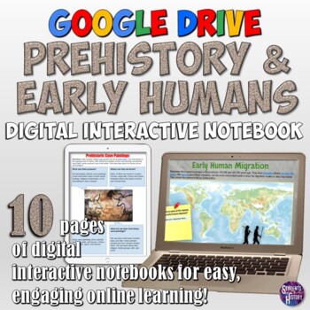
Prehistory and Early Humans Google Drive Interactive Notebook
This Prehistory digital resource for teaching about features a set of 10 fully-editable interactive pages on the Stone Age for Google Drive! The pages cover the Paleolithic and Neolithic Eras with a variety of links, graphic organizers, and more! These super-engaging pages can be completed all online with laptops, tablets, or any other device that supports Google Drive! Prehistory topics covered in these pages include: The Hominids: Australopithecines, Homo Habilis, Homo Erectus, Neanderthal, &a
Grades:
7th - 10th
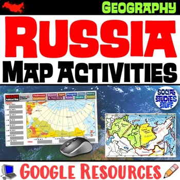
Geography of Russia Map Practice Activities | Print and Digital | Google
End the cycle of bored students copying from books to label maps! Your classes think critically with these digital, interactive, geography activities. First, students answer questions about Russia by analyzing various physical & political maps of the region. Then, a drag & drop challenge assesses their learning of the locations. This resource also includes a printable worksheet that takes labeling maps to the next level! They create a map using only absolute & relative location clues
Subjects:
Grades:
5th - 12th
CCSS:
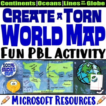
Create a Torn World Map Project | Continents Oceans Lines on a Globe | Microsoft
Students LOVE the challenge of creating a “torn” world map using only their hands, 2 sheets of paper & glue. They must tear out the shape of each continent without drawing outlines or using scissors or other tools. Then they must properly label the continents, oceans, and lines on a map. This fun & engaging exercise helps students memorize the world map by really thinking about the shape of each continents & the map’s scale; the goal is NOT to create a perfect replica. A fill-in rubr
Subjects:
Grades:
3rd - 8th
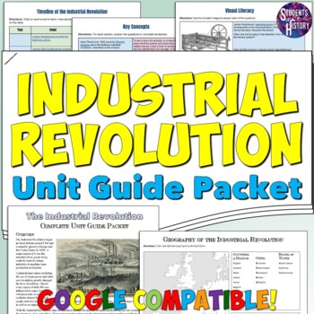
Industrial Revolution Study Guide Activity Packet: Timeline, Map, & People
This thorough packet on the Industrial Revolution is a perfect unit guide to help students understand all of the key concepts, people, and events they need to know about this era in World History! The 9-page independent work packet includes engaging pages on all every aspect of the Industrial Revolution for your World History classroom. There's also standards-based Essential Questions to guide your whole unit! It starts off with a short overview reading on the Industrial Revolution, followed by
Subjects:
Grades:
7th - 10th
Also included in: World History 2 Study Guide and Unit Packet Bundle
Showing 1-24 of 505 results

