29,320 results
6th grade world history worksheets
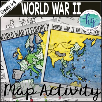
World War II (World War 2) Map & Geography Activity for Europe & the Pacific
These World War II in Europe and World War 2 in the Pacific maps will help students become more familiar with the nations of Europe and those in the Pacific during World War II by identifying which countries belonged to the Allies, which ones joined the Axis, which ones were controlled by the Axis Powers, and which ones remained neutral. On the World War II in Europe map, students will also label the Maginot Line, the Battle of Dunkirk, the Battle of Britain, the Battle of Stalingrad, the Battl
Subjects:
Grades:
6th - 11th
Types:
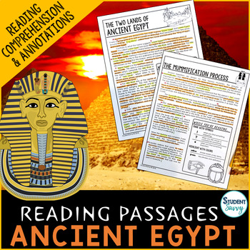
Ancient Egypt Reading Comprehension Passages Questions Pyramids Pharaohs Gods
Ancient Egypt Worksheets - Reading Comprehension Passages, Questions, and Annotations. This resource contains 5 Engaging, Non-Fiction Reading Comprehension Passages with Directions for Student Annotations! Reading Comprehension Questions also included! Questions & Answer Keys for Each of the 5 Reading Passages! COMMON CORE ALIGNED! Quick overview of topics covered in this resource include: 1.) The Two Lands of Ancient Egypt-covers the layout of Ancient Egypt (Upper and Lower Egypt)-flow of t
Grades:
5th - 7th
Types:
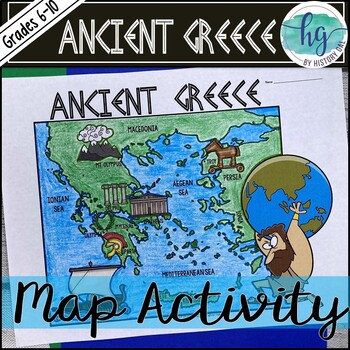
Ancient Greece Geography Map Activity (Print and Digital Resource)
This activity will help students better understand the geography of Greece and its impact on Ancient Greek civilizations. They will label and color the blank map version and then answer a few questions. Alternatively, students can just color on the coloring page version. It's a great way to incorporate geography in your lesson.What's included with the Printed Versions:*Ancient Greece map for students to label, color, and answer 10 questions (1 page map, 1 page directions/questions, uneditable pd
Grades:
6th - 10th
Types:
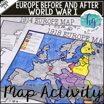
World War I Map Activity Lesson (1914 & 1918 Europe Maps)Print &Digital Resource
These 1914 and 1918 Europe Map worksheets will help students understand the effects of World War I on the European map. They will also help students become more familiar with the nations of Europe during World War 1 by identifying which European countries belonged to the Allies, which ones joined the Central Powers, and which ones remained neutral. Additionally, students will be able to identify the new nations that were created after World War I and which nations lost territory after the war.Wh
Subjects:
Grades:
6th - 10th
Types:
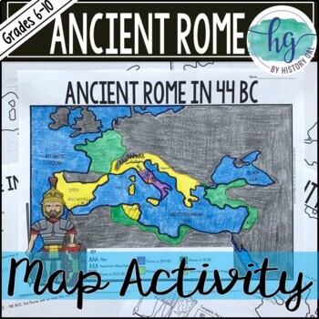
Ancient Rome to 44 BCE Map Activity (Print and Digital)
Students will label and color a map of Ancient Rome in 44 BC/BCE to better understand the expansion of Roman power. Students will also answer 6 questions about the map. What's Included with the print versions:*Blank map with 6 questions for students to answer (2 pages, BC and BCE versions included, uneditable pdf)*Blank map without questions (1 1/2 pages, BC and BCE versions included, uneditable pdf)*Map for students to just color (1 page, BC and BCE versions included, uneditable pdf)*Answer key
Subjects:
Grades:
6th - 9th
Types:
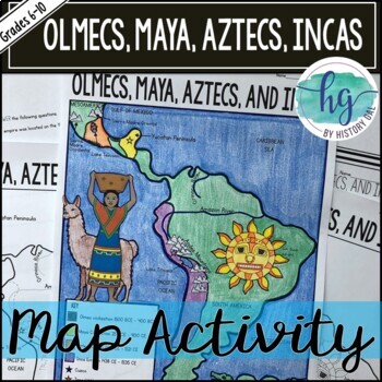
Mesoamerica (Olmecs, Maya, Aztecs) and Incas Map Activity - print & digital
Students will label and color a map to help them visualize and retain the location of the Olmecs, Maya, Aztecs, and Incas in Mesoamerica and South America. They will also label bodies of water and mountain ranges as well as use the map to answer 5 questions. What's Included with the Printed Map:*Blank map with 5 questions for students to answer (2 pages, uneditable pdf)*Blank map without questions (1 1/2 pages, uneditable pdf)*Map for students to just color (1 page, uneditable pdf)*Answer key fo
Subjects:
Grades:
6th - 9th
Types:
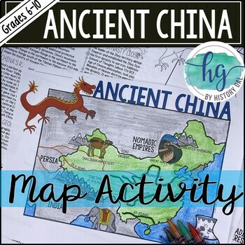
Ancient China Map Activity Lesson (Print and Digital Resource)
This activity will help students better understand the geography of Ancient China. They will label and color the blank map version and answer a few questions. Alternatively, students can just color on the coloring page version. It's a great way to incorporate geography in your lesson.What's included with the printed versions:*Blank Ancient China map for students to label, color, and answer questions (1 page map, 1 page directions, uneditable pdf)*Blank Ancient China map for students to label, co
Grades:
6th - 10th
Types:
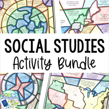
Social Studies Bundle | 13 Topics of Passages and Coloring Activities for Review
Looking to give your Social Studies class an engaging way to dig into the text and learn about important historical topics? These Social Studies activities can do just that. 13 different activities are included, and they are great to have on hand all year long when students need a break from the textbook and a chance to color. Once students learn about historical topics, repeated exposure to the material is essential for both comprehension and retention. Add in practicing the skill of locating t
Grades:
4th - 7th
Types:
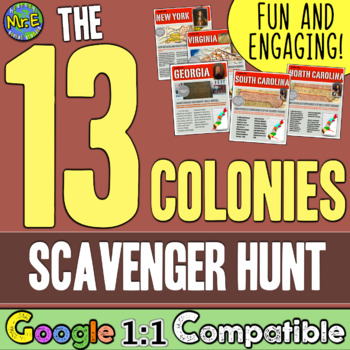
13 Colonies Map and Scavenger Hunt Activity
In this 13 Colonies activity and map scavenger hunt, students complete a gallery walk on the colonization of the 13 American Colonies. Students navigate around the room examining each colony's station to understand the reason behind its founding. Students can work individually or they can create groups and, before they are turned loose, divide up the responsibilities to research the founding of the 13 Colonies and detail the 13 Colonies map. This lesson is a great introduction to the 13 colo
Subjects:
Grades:
5th - 8th
Types:
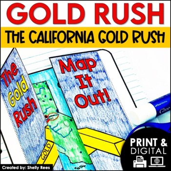
The Gold Rush Activities | California History | DIGITAL and PRINTABLE
Your students will enjoy learning about the California Gold Rush with this interactive packet. The fun, hands-on activities in this resource will surely help your students learn and understand the history of the Gold Rush!Click here and SAVE 20% by buying ALL 15 Social Studies Interactive Notebooks and Mini Units in one Year-Long Bundle.This resource includes both a printable version AND a digital version. The digital version is on Google Slides and is perfect for distance learning, independent
Grades:
3rd - 6th
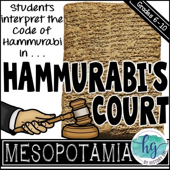
Hammurabi's Code Activity and Doodle Notes
In this fun and engaging Hammurabi’s Code activity, students will use the Code of Hammurabi to decide the verdict for six fictional court cases they create. Make it more exciting by dressing up as a judge as you preside over the cases that students act out!This Hammurabi’s Code activity Includes:*Doodle Notes on Hammurabi’s Code (1 page; includes blank, fill in the blanks, coloring page, and color versions with BC and BCE dates; includes fillable PDF and Google Slides versions) *PowerPoint fo
Subjects:
Grades:
6th
Types:
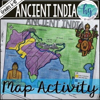
Ancient India Map Activity (Indus Civilizations, Maurya & Gupta Empire)
Students will label and color a map to help them visualize and retain the location of the Indus Civilizations, Maurya Empire, and Gupta Empire as well as key geographical features such as the Brahmaputra, Ganges, and Indus Rivers; Eastern and Western Ghats; Himalayas; Hindu Kush, and more. Students will also use the map to answer 5 questions. What's Included with the printed versions:*Blank map with 5 questions for students to answer (2 pages, uneditable pdf)*Blank map without questions (1 1/2 p
Subjects:
Grades:
6th - 9th
Types:
Also included in: Ancient India Bundle
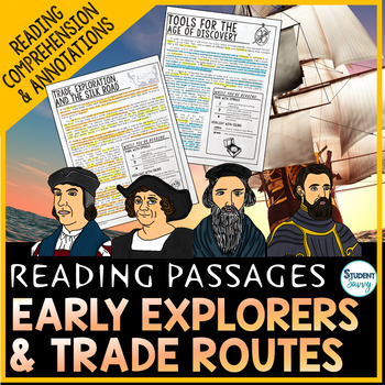
Age of Exploration Reading Passages | European Explorers Reading Comprehension
European Explorers | Age of Exploration | Explorers Passages, Questions, and Annotations This resource contains 5 Engaging, Non-Fiction Reading Comprehension Passages with Directions for Student Annotations! Reading Comprehension Questions also included! Part of US History Reading Passages Questions & Answer Keys for Each of the 5 Reading Passages! COMMON CORE ALIGNED! Quick overview of topics covered in this resource include: 1.) Exploration and the Age of Discovery -15th century – 17th cen
Grades:
3rd - 7th
Types:
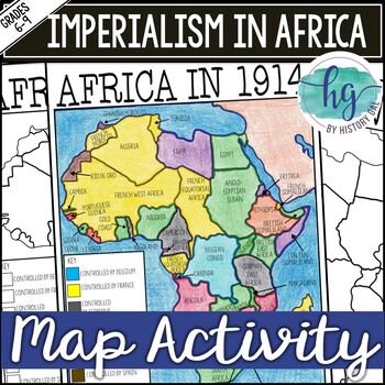
Imperialism in Africa Map Activity Lesson for World History (Print and Digital)
Students will learn about the scramble for Africa by labeling colonies and coloring the map to show which European nations controlled which colonies and which countries remained independent. Students will also answer 3 questions about the map.What's Included with the printed version:*Blank Africa in 1914 map with questions for students to answer (2 pages)*Blank Africa in 1914 map without questions (1 1/2 pages)*Coloring Page for Africa in 1914 map (1 page)*Answer key for map and questions (2 pa
Subjects:
Grades:
6th - 10th
Types:
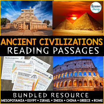
Ancient Civilizations History Reading Comprehension Passages Questions Rome
Ancient Civilizations & World History Reading Comprehension Passages, Worksheets, Questions, and Annotations Bundle! This bundle contains 8 StudentSavvy Reading Passage & Expository Text Resources! It contains a total of 40 Engaging, Non-Fiction Reading Comprehension Passages with Directions for Student Annotations! Reading Comprehension Questions also included! Units include: The Stone Age | Early Humans, Ancient Mesopotamia, Ancient Egypt, Ancient Israel, Ancient India, Ancient China
Grades:
3rd - 7th
Types:
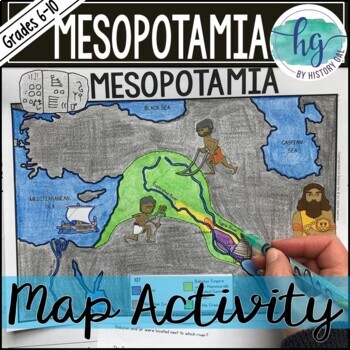
Mesopotamia Map Activity (Print and Digital)
Students will label and color a map to help them visualize the location of the Fertile Crescent and the early civilizations that emerged there (Sumer, Akkad, and Babylon under Hammurabi). Students will also use the map to answer 6 questions. Now, includes a digital version!What's included with the Printed Map:*Blank map with 6 questions for students to answer (2 pages, uneditable PDF)*Blank map without questions (1 1/2 pages, uneditable pdf,)*Map for students to just color (1 page, uneditable pd
Subjects:
Grades:
6th - 9th
Types:
World War I Bundle Reading Comprehension Worksheet World War One
This reading comprehension bundle contains several articles and a PDF slideshow to explain World War I to students. The products included are listed below. These are NOT editable files.Tutorial How to Make PDFs Editable for Google ClassroomIncludes:-Slideshow with Guided Notes-TestReading Comprehension: -Main Causes-Overview-Sides-Theatres of War-Major Battles-Verdun-First Battle of the Marne-Tannenberg-Somme-Life as a Soldier-U.S. Enters-Harlem Hellfighters-Russian Revolution-End of the War-W
Grades:
5th - 8th
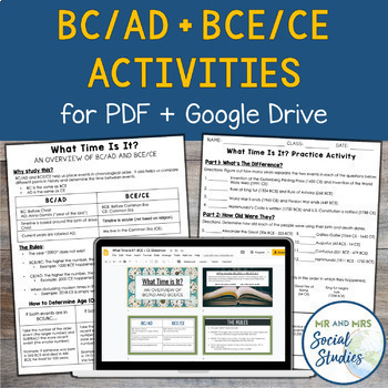
BC AD BCE CE Timeline Activity for Google Drive and PDF
If you are looking for a simple and effective way to teach BC AD and/or BCE CE to your students, you are in the right place! This no-prep resource for Google Drive + PDF not only teaches students about BC/AD + BCE/CE, but also gives them opportunity to practice!This resource includes:Teacher Guide (PDF)Student Handouts (Information Sheet + Worksheet, with answer keys)Editable Google SlideshowEditable Google Doc versions of the Student HandoutsSelf-Grading Google Forms (one version for BC/AD and
Grades:
6th - 9th
Types:
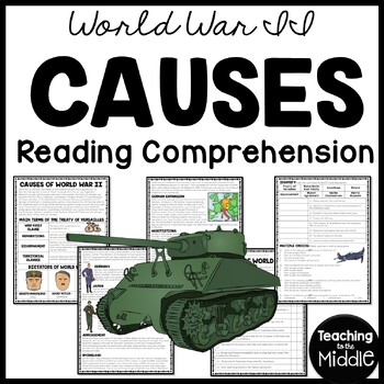
Causes of World War II (2) Informational Text Reading Comprehension Worksheet
This passage explains the major causes of World War II. 25 questions (true/false, identify, and multiple choice) assess students' learning. I've included a color and black and white version, as well as a key. INCLUDES:Article (1100-1200 Lexile) 25 questions- true/false, identify the term, multiple choiceColor and BW Versionkey includedPart of my WWII Reading Comprehension Bundle*If you don't already, Follow Me!
Grades:
6th - 8th
Types:
Also included in: World War II (2) Reading Comprehension Worksheet Bundle Holocaust
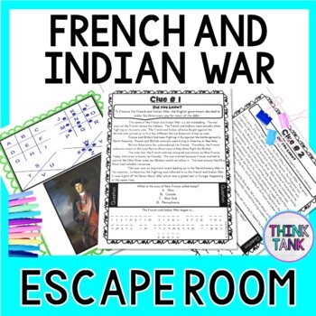
French and Indian War ESCAPE ROOM: Reading Comprehension - Print & go!
The French and Indian War Escape Room will take students on a secret mission around the classroom reading comprehension passages, answering questions and deciphering codes! This escape room has students decode interesting facts about the French and Indian War, George Washington, William Pitt, Fort Necessity and Fort Duquesne. This Escape Room has students walking around the classroom breaking codes. The codes include ciphers, Morse code, cryptograms and a final 4 digit code based on the decoders
Grades:
4th - 8th
Types:
Also included in: 20 US History ESCAPE ROOMS BUNDLE - Reading Comprehension
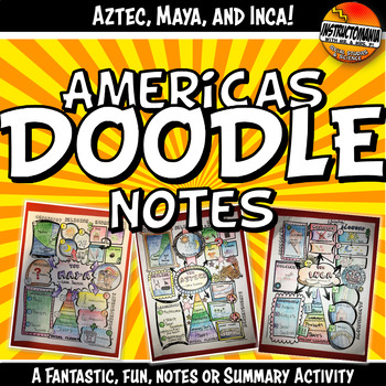
Doodle Style Notes, The Americas, Aztec, Maya & Inca Summary Activity Set
What a fun way to review the geography, religion, achievements, government/leadership, economy and social classes of the Americas! Students complete the Aztec, Maya, and Inca doodle note templates after class notes, reading textbook chapters or informational texts, at the end of the unit, or even after finishing a chapter test (while waiting for students to finish). This activity is a class favorite that is easy to implement. It's great to share and hang in the classroom. This also makes for a
Grades:
5th - 12th
Also included in: Aztec Resources Bundle: Interactive Notebook Independent Work Packet
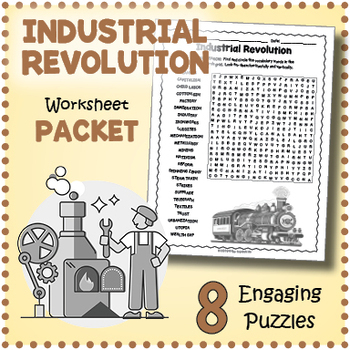
INDUSTRIAL REVOLUTION Worksheet Activity Packet - Word Search, Crossword & More!
Introduce and review vocabulary for teaching about the first Industrial Revolution in the United States with this puzzle worksheet packet. The puzzles will give students a chance to familiarize themselves with important terms while having fun. Puzzles make great no prep activities for early finishers, bell ringers, morning work, handouts, homework, reading comprehension and lesson plan supplements, themed classrooms, sponge activities, introductions to new topics, and sub files.The list of puzz
Subjects:
Grades:
4th - 7th
Types:
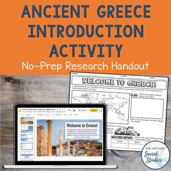
Ancient Greece Unit Introduction Research Activity | Worksheet + Digital Version
If you are looking for an easy way to start your unit about Ancient Greece, this is the resource for you! This two-sided activity sheet or editable Google Slideshow guides students through some country research about modern-day Greece and sparks their curiosity about things they will learn during your unit!This resource includes both a Google Slides version and a printable PDF version. An answer key is also provided.The topics included on this introductory handout are:geographyflagweatherlanguag
Grades:
5th - 8th
Types:
Also included in: Ancient Civilizations Unit Introduction Activities Bundle | Worksheets
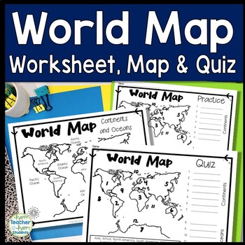
World Map: World Map Quiz (Test) and Map Worksheet | 7 Continents and 5 Oceans
Map of the World Test: Easy-to-read World Map Quiz requires students to locate 7 Continents and 5 Oceans. This resource also includes a world map printable for kids to practice learning the map of the world. Students must label continents and oceans: 7 Continents (Asia, Africa, North America, South America, Antarctica, Australia & Europe) and 5 Oceans (Atlantic, Pacific, Indian, Arctic & Southern). This is an ideal continents and oceans activities for 1st grade, 2nd grade, 3rd grade, 4th
Grades:
2nd - 6th
Types:
Showing 1-24 of 29,320 results


