1,203 results
1st grade geography posters
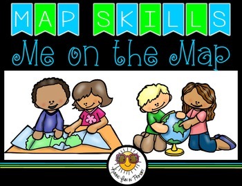
Map Skills - Me on the Map
Map Skills: Me on the map - Hi teachers! Are you beginning to teach your kiddos map skills? Well this unit might be just what you need. There are tons of activities included just take a look below:Vocabulary PostersMaps of the World: Identify ContinentsMaps of the Word: Identify OceansMaps of the World: Identify the Continent you live onDescribe a MapGlobe: Identify Poles, Equator, Continents, OceansDescribe a GlobeCompare and Contrast Globes and MapsSort Maps and GlobesIdentify Neighboring C
Subjects:
Grades:
K - 2nd
Types:
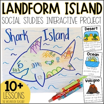
Landforms Project - Landform Island and Landforms and Body of Water Research
Engage your students in learning about landforms and bodies of water by having them apply their knowledge of these landforms and bodies of water to create a project... LANDFORM ISLAND! This creative social studies project is a hands-on geography activity perfect for your learners.What is the Landforms Project:Students will work alone or in groups to research 24 different landforms and bodies of water, draft a plan for their landform island, write all about their landform island and publish a pos
Subjects:
Grades:
1st - 3rd
Types:
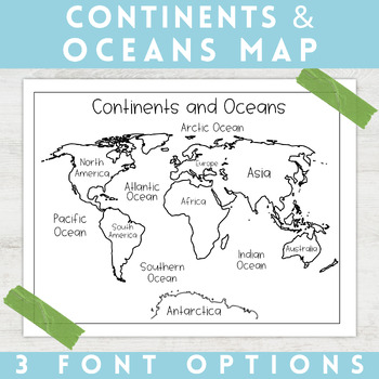
World Map Continents and Oceans | Black and White | Coloring Sheet
Enhance your minimalist classroom with these Black and White World Map with labeled Continents and Oceans!These black and white world map features each of the 7 continents and 5 oceans accurately labeled. These maps are great to print out, laminate, and hang up in a minimalist or neutral classroom. These maps are also great to print out and make copies for students to color! Please feel free to make copies of this resource for your students, or for your own kiddos.Updated 5/29/2024: There are no
Grades:
PreK - 9th
Types:
Types of Communities │Rural, Urban, & Suburban
This is the perfect bundle to use when teaching your students about the different types of communities (rural, suburban, and urban)! Your students will enjoy these hands on activities and task cards, which are great to use in centers. Posters are also provided for your students to refer to. Included in this bundle:-"What is a Community" Poster-Rural Communities Poster-Urban Communities Poster-Suburban Communities Poster-Rural, Urban, and Suburban Picture Cards (1 page each, 4 images to a page)-R
Subjects:
Grades:
K - 6th
Types:
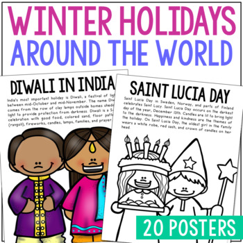
WINTER HOLIDAYS AROUND THE WORLD Posters | Christmas Culture Study Activity
This set of Christmas around the World posters is super versatile! You'll receive the pages in black/white AND full color. Shrink them down for interactive notebook inserts, mini books, bulletin board decor, hall displays, or as a quick coloring page to accompany your read-aloud. Students love these note pages because they provide just enough new vocabulary and ideas to engage but aren’t overwhelming.CLICK HERE to save 25% on this resource in the Christmas Posters Bundle!WINTER HOLIDAY THEMES IN
Grades:
PreK - 5th
Types:
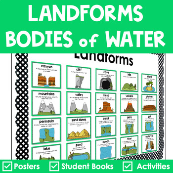
Landforms and Bodies of Water Posters Interactive Books Games and Worksheets
Do your students have a hard time recognizing landforms and bodies of water? Get everything you need to teach landforms and bodies of water in one pack. It includes anchor posters, sorting cards, riddle books, and more to scaffold learning for all students. The little books are in a riddle format, so your students must use critical thinking to solve. ✅ What’s Included:⭐️ Teacher Tips⭐️ 20 Large Landforms & Bodies of Water Posters⭐️ 20 Small Landforms & Bodies of Water Posters⭐️ 60 Lan
Subjects:
Grades:
K - 4th
Types:
Also included in: Landforms Bundle
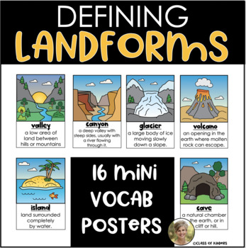
Landforms Mini Posters Definitions: Kindergarten and First Grade Social Studies
Need a set of landform mini posters that simply define landforms for your students? Grab this set of 15; they print on 1/2 page. Each one has a simple colored illustration and a simple definition of the landform. Includes:mountainsvalleylakerivergrasslandsplateaupondwaterfallcaveglaciervolcanocanyonislandbeachhillsoceanCheck my store for other landform resources:Landforms: Lift the FlapsLandforms: Reader
Subjects:
Grades:
K - 2nd
Types:
Map Skills & Landforms Unit
Do your students need practice with map skills? Do they need engaging activities to help them learn key vocabulary and directions? If so, this unit is perfect for them!What's Included?Map Skills Practice:Zoo - Using a Map Key to Place Objects on a MapIn the Neighborhood - Answering Questions about the MapPlacing Objects using North, South, East, WestTreasure! - Finding objects that are North, South, East, WestClassroom Map - Answering Questions about a Classroom MapOur Classroom - Make your Own
Grades:
PreK - 2nd
Types:
Landforms: For Young Globetrotters
Get your little globetrotters excited about landforms with this engaging bundle!
Use the posters to introduce landforms to your students, and have them make their own Globetrotter's Guide to Landforms. Don't feel limited by the clipart, blank templates allow you add your own!
What's Included:
Cover
Directions
Landforms Poster
Mountain Poster
Canyon Poster
Volcano Poster
Plain Poster
Valley Poster
Hill Poster
River Poster
Desert Poster
Island Poster
Ocean Poster
Lake Poster
Student Book: A Glo
Grades:
1st - 4th
Types:
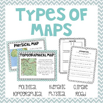
Types of Maps
Take a look at 6 different types of maps with these posters, graphic organizers, booklets, worksheets and memory match game.
Two versions of a make your own map book are included. One version is set up as a graphic organizer. The other is set up as a note taking book. Both include a space for students to draw their own picture or you can use the printable sized pictures for students to glue into their book. Customize your book by printing whichever pages you want for teaching your class!
What
Subjects:
Grades:
1st - 3rd
Types:
Also included in: Geography & Environmental Literacy - 2.G.1 & 2.G.2 Bundle
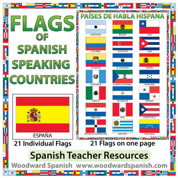
Flags of Spanish-speaking Countries
Flags of the 21 Spanish-speaking countries.
These flags are perfect for decorating the Spanish classroom. You may also want to laminate the flags and use them as large flashcards.
There are 21 individual flags of the following Spanish-speaking countries: Argentina, Bolivia, Chile, Colombia, Costa Rica, Cuba, Ecuador, El Salvador, España, Guatemala, Guinea Ecuatorial, Honduras, México, Nicaragua, Panamá, Paraguay, Perú, Puerto Rico, República Dominicana, Uruguay, Venezuela.
Each flag is on its
Subjects:
Grades:
1st - 12th, Adult Education
Also included in: Spanish Bundle – Spanish-speaking Countries and Capitals
Landforms and Bodies of Water - Interactive pages, posters, and more.
Landform and body of water activity pack:
BUT WAIT- I have this pack in a bundle with my weathering, erosion, types of rocks, and rock cycle - both for $6.00 - You'll save $1.50. Go to
LANDFORMS, BODIES OF WATER, WEATHERING, EROSION, ROCKS BUNDLE
This unit includes:
1) I Have Who Has game for with 18 cards - definition and pictures (2 cards are blank in case you want to add your own feature that is not included).
2) I Have Who Has game with only pictures that students have to be able to id
Subjects:
Grades:
1st - 4th
Types:
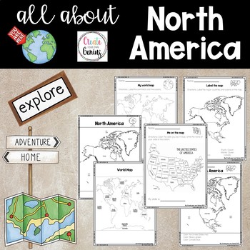
North America on the Map
Includes posters and worksheets for student response- World map poster with major oceans and continents labeled for whole group instruction or posters-My world map: Students label the major oceans and continents-Map of North America labeled with oceans for whole group instruction-Color map location for North America -Label the map of North America with word bank-Me on the Map, United States activity where students color and list their home state-Maps are perfect for posters or whole group instru
Subjects:
Grades:
K - 5th
Types:
Exploring Maps: Pirate Style! {The Basics}
Looking for supplemental materials?!
Explore maps... PIRATE STYLE!
This 69 page supplemental resource packs in a lot of foundational, BASIC map skills in fun, interactive, developmentally friendly ways! Use a hula hoop, Silly Bands, and rumpled up paper bags to navigate through your mapping unit! :) It's best used as a review of basic elements of maps, and it is intended to be a supplement to your existing unit.
What's Included:
Cover
Introduction: Map Treasures
Teaching About Maps
Pirate
Grades:
1st - 2nd
Types:
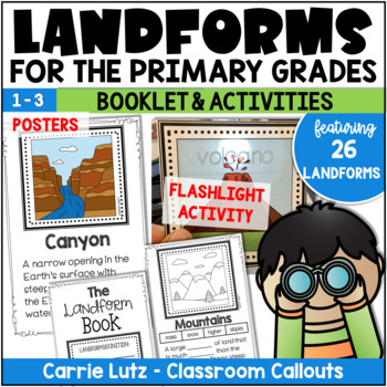
Landforms 2nd Grade | Booklet & Activities for Social Studies
Kids will have a blast learning about landforms with this engaging resource! In this packet, the information is given in the form of posters, assessed with a booklet and practiced with fun magic flashlight cards. The name of the landform magically appears when they shine the flashlight behind the card.About This Resource:Information Posters – Print these on card stock and laminate. Hang them up as you teach them, or all at once. Use only what you need, print only what you need. Students will use
Grades:
1st - 3rd
Types:
Also included in: Landforms 2nd Grade | Booklet, Posters, and Bingo Activities
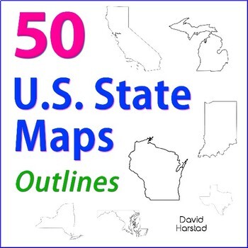
GEOGRAPHY | 50 U.S. State Maps Outlines (K-12)
GEOGRAPHY | 50 U.S. State Maps Outlines (K-12). Map outlines for all American occasions: history, physical, political, or specialty. Ideal for reports, labeling, or patriotic projects. Unfortunately, maps will not create a scaled puzzle. Preview same as Download.About the collection:Files are 8.5" x 11" in PDF & PNG. Product purchase is for organizational services. Maps are compiled from various free online sources and clarity is not always consistent. Please view Preview to see if maps mee
Grades:
K - 12th
Types:
Also included in: Top 20 Best Sellers
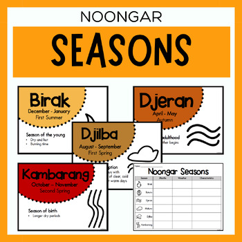
Noongar Australian Aboriginal Seasons Calendar & Worksheet - Nyoongar
✏️ Celebrate the rich cultural heritage of the Noongar Indigenous Aboriginal Australians with our Seasons Calendar & Worksheet! This comprehensive resource includes 7 display posters (with an alternate spelling of Nyoongar) and a worksheet to help students learn about the traditional Noongar seasons. With a link to the Indigenous Weather Map, this resource is an excellent tool to support teaching and learning about Indigenous culture and weather patterns. What's Included?7 Display Posters (+
Subjects:
Grades:
PreK - 12th
Also included in: Noongar Vocabulary Bundle | Aboriginal Language Resource
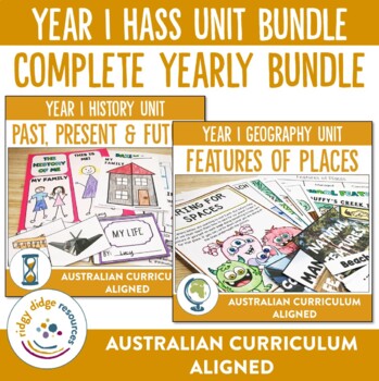
Australian Curriculum 8.4 Year 1 HASS Unit Bundle
Ready to get yourself completely prepared for the year ahead? Look no further Year 1 teachers! This complete set of our ever popular HASS units specifically aligned to the Australian Curriculum have everything you need to teach your students the content required.This bundle includes the following:- Year 1 Geography Unit - Features of Places- Year 1 History Unit - Past, Present and FutureThese activities and unit plans compliment all the following Australian Curriculum Year 1 HASS content descrip
Subjects:
Grades:
PreK - 1st
Types:
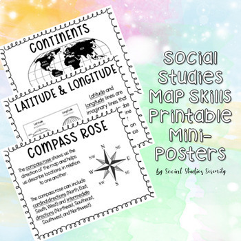
Social Studies Map Skills Posters Printable Bulletin Board Display
These posters (can print on regular 8.5"x11" paper) are great for a social studies bulletin board. These cute mini posters include important map skills such as countries vs. continents, latitude and longitude, map key, map scale, compass rose, and more! Print the mini posters on colorful paper, laminate, add a world map, and you will have a beautiful and informative social studies bulletin board!
Grades:
PreK - 9th
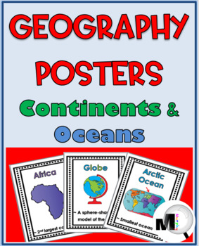
World Geography for Kids Posters Continents and Oceans
This resource includes 19 Posters in color and also in black & white – all 7 of the continents and 5 oceans plus a few extra geography posters. (The Southern Ocean was added per a customer request.)The posters print 8 1/2" x 11" but you can set your printer to print smaller sizes if you prefer.Each geography poster includes the word, an illustration and a very brief description. The 19 terms included are: Africa, Antarctica, Arctic Ocean, Asia, Atlantic Ocean, Australia, Cardinal Directions
Subjects:
Grades:
PreK - 2nd
Types:
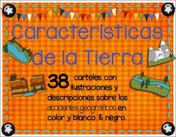
Landforms in spanish - Caracteristicas de la Tierra o Accidentes geograficos
Landforms in spanish / accidentes geograficos: 166 - total pack of spanish posters, writing sheets, & task cards with terms, definitions, illustrations and titles in color and BW. Use them for your bilingual class. Display them in your social studies content wall, around your room, or during Landforms instruction.Included in this product:*76 illustrated posters with definitions and posters with title + illustration (also in black white for printer friendly printing)*18 study cards with title
Subjects:
Grades:
1st - 6th
Types:
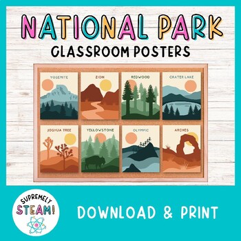
National Park Posters Set of 24 - Adventure Bulletin Board & Classroom Decor!
NATIONAL PARK DECOR - Printable Classroom Posters!Set of 24 Hand-Designed National Park Posters:Brighten up your classroom with these national park posters! Each poster offers a minimalistic design of a national park with the park's name included. You can easily download, print, and display these posters in a manner of minutes. Students will definitely take notice of these eye-catching posters!Included in Your Download:• 24 hand-designed national park posters• Each poster has a 4x5 ratio (helpfu
Subjects:
Grades:
PreK - 12th
Geography interactive notebook/ Cahier interactif et activités {géographie}
Cet ensemble d'introduction sur les cartes géographiques traite des sujets suivants:
La Rose des Vents
Carte du monde
Carte de l’Amérique du Nord
Carte du Canada
Le Québec
Lecture de carte
La Légende
Les continents
Les océans
et plus!
Le document comprend:
- des affiches sur les outils utiles en cartographie
- des affiches des points cardinaux
- les étiquettes mots
- 21 cartes à tâches, une feuille de réponse et le corrigé
- des fiches d’exercices et les corrigés
- plusieurs étiquettes pour l
Subjects:
Grades:
1st - 4th
Types:
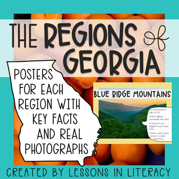
Regions of Georgia Posters
This 8 page product contains the 5 regions of Georgia on colorful photographic posters with important notes about each one. These would be a great addition to your classroom walls/bulletin boards for reference and review. I have aligned the region information to standards in social studies, too!
Subjects:
Grades:
1st - 3rd
Types:
Showing 1-24 of 1,203 results


