492 results
2nd grade geography resources on sale
Map Skills Book
Discover the world of map skills with this engaging book for students! This comprehensive resource covers essential topics such as the globe, map symbols, cardinal directions, United States map, classroom maps, home maps, and community maps. Dive into the exciting world of geography and navigation with this informative and enjoyable booklet.Check out some of my other ResourcesPumpkin DayTurkey DayHalloween Word ProblemsFollow meFacebookKathryn Loves Teaching BlogTeachers Pay TeachersThank you fo
Subjects:
Grades:
PreK - 2nd
Types:
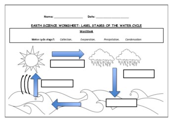
Earth Science worksheet: Label stages of the water cycle
Earth Science worksheet: Label stages of the water cycle2 VERSIONS OF WORKSHEET (Worksheet with a word bank & Worksheet with no word bank)Students have to label the stages of water cycle by looking at the diagram (Evaporation, Collection, Precipitation and Condensation)Students can color in the pictures they are doneWorksheet aimed at higher kindergarten/lower primary levelAnswer Key includedBoth PDF and Editable Word Versions included within the ZIP file
Subjects:
Grades:
K - 6th
Types:
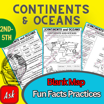
Continents And Oceans | Maps & Globes 7 Continets & Oceans | Facts Activities
Learning about continents and oceans on a map is a great way to engage students and help them remember all seven continents and major oceans in geography. This resource provides tons of practice on maps to help your kids identify the continents and oceans, as well as learn fun new information about each continent and ocean.The facts about continents and oceans are designed in different interactive formats to help your kids engage and have fun while completing them.As there are many questions reg
Subjects:
Grades:
2nd - 5th
Types:
Map Skills - Performance Tasks
Maps performance tasks! Here are two performance tasks that I created and used with my first grade students when we completed our unit. We actually did a practice run creating a map of our classroom early in the unit so they had experience doing something very similar to this. Updated with new BW graphics and fonts. Students get to name their own farm and playground to create the maps. They really did a great job with these and most were easily able to show Proficiency. For each map, I gave t
Subjects:
Grades:
1st - 2nd
Types:
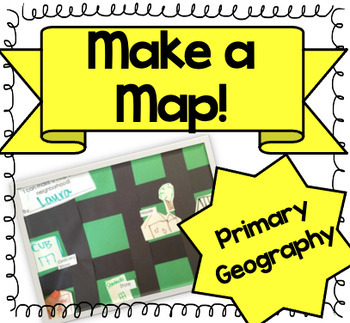
Let's Make a Map! {A Map-Making Activity for Primary Geography Unit}
Product Information: This is a simple, yet effective activity to teach students about maps. It is part of our Social Studies Geography unit. I print this printable, and give each student:-copy of labels (this printable)-a big piece of green construction paper-black strips to make roads-white squares to draw buildings and housesI introduce the lesson by:-showing real maps or online maps-talking about community and what our community looks like-brainstorming what places are by my houseThen the k
Grades:
K - 3rd
Types:
Also included in: Kindergarten Geography Bundle
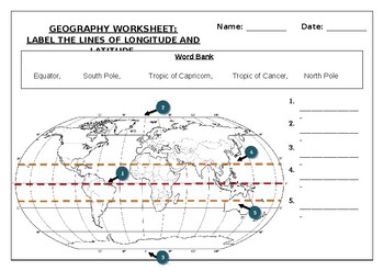
Geography worksheet: Label the lines of longitude and latitude
Geography worksheet: Label the lines of longitude and latitudeStudents have to label the lines of latitude and longitude with the correct names (Equator, South Pole, Tropic of Capricorn, Tropic of Cancer, North Pole)Worksheet aimed at primary level/ high school levelStudent can color in the world map when they are finishedAnswer key included on second page.
Subjects:
Grades:
2nd - 7th
Types:
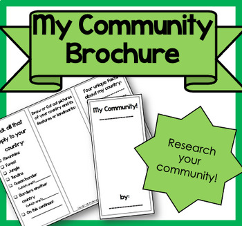
My Community Brochure!
Product Information: This is a printable brochure to supplement any Community Unit or lesson. For this brochure, students will need to research the following facts about their community:PopulationYear foundedRestaurants, shopping, attractionsSchools, libraries, parksRural, Suburban, UrbanNatural features (lake, mountains, river, etc.)3 unique facts about their communityStudents can draw, write facts or cut out pictures to fill their brochure. Creativity is encouraged! It can be used as homewor
Subjects:
Grades:
2nd - 5th
Types:
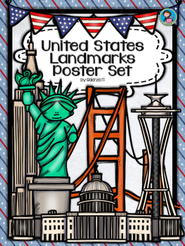
United States Landmarks Facts & Poster Set
If you are looking to improve your students skills in Geography here is the resource you need. I had so much fun researching these Landmarks and sparkle my skills also with the new facts on the most famous landmarks of the United States. Lots of information, but cool things you can use in class. Here is a set of Posters with their Fact Sheet. You can print it on card stock with double sided with the facts or separated to create your own activities for your students. The will have fun with ge
Grades:
PreK - 12th, Higher Education, Adult Education, Staff
Mapping Skills with Google Earth: How to Read a Map Gr. PK-2
This is the chapter slice "How to Read a Map" from the full lesson plan "Mapping Skills with Google Earth"About the FULL RESOURCE:Teach your students the basics of map reading with our engaging resource designed for students in grades prekindergarten to two. Start with the elements found on a map, such as symbols, legends and the compass rose. Then, have your students apply what they’ve learned by mapping their classroom and route to school. Move on to the Great Lakes of North America and the se
Subjects:
Grades:
PreK - 2nd
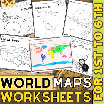
World Map with Countries | Continents and Oceans Blank Map | 1st to 12th Grade
These printable maps will be useful whether you are studying geography, world history, countries around the world, or you are just trying to show your kids the route you are taking on your next vacation! For kids learning about states, we've included a printable map of the world, as well as maps of North and South America, Europe, Asia, Australia, Africa, and Antarctica. Furthermore, the world map printable set comprises labeled and blank options for printing. To print the printable map PDF file
Grades:
K - 12th
Types:
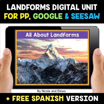
Landform Digital Activities for Google and Seesaw + FREE Spanish
Engage your students with these interactive landform activities. This digital landform unit includes 12 illustrated vocabulary terms with kid-friendly definitions, 4 informational nonfiction texts and a variety of interactive activities. It is available in PowerPoint, Google Slides and in Seesaw. It has been preloaded into Google Drive for teachers who use Google Apps or Google Classroom. It has also been preloaded into Seesaw as an interactive activity. You can use it on any device with these s
Subjects:
Grades:
K - 2nd
Also included in: Social Studies Activities for Google and Seesaw Bundle + FREE Spanish
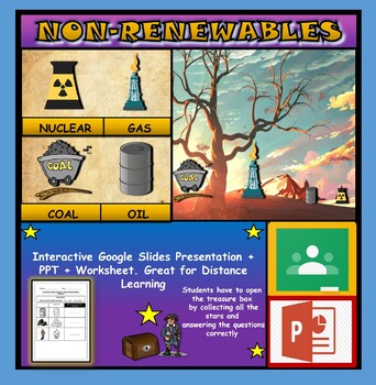
Non-Renewable Energy Sources: Interactive Google Slides + PPT + Worksheet
Non-Renewable Energy Sources: Interactive Google Slides + PPT + Worksheet (Distance Learning)Interactive presentation & quiz on non-renewable energy sources. Please view the powerpoint previewINTERACTIVE GOOGLE SLIDES/POWER POINT PRESENTATION on non-renewable energy resources. It can be used for distance learning and google classroom or within the classroom.Once downloaded: Please view the GOOGLE SLIDES/POWERPOINT IN 'PRESENT ▶️' modeWorksheet also included in ZIP file 'Non-renewable energy
Subjects:
Grades:
1st - 7th
Types:
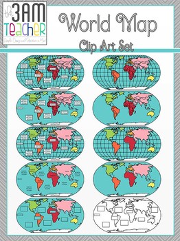
World Maps Clip Art: Flat World Map Set!!!
This set includes 18 beautifully detailed graphics in full color and black and white of the Western Hemisphere! Perfect for Common Core aligned lessons and resources!!
This set also includes Northern Hemisphere Globes:
without latitude/longitude lines
Labeled and blank
Country boundary lines
Continent boundary lines
Includes Fillable templates for student assessments!!
All images are in PNG format (translucent background)
300 DPI (Perfect resolution for printing and re-sizing)
Thank you for
Grades:
PreK - 12th, Higher Education, Adult Education, Staff
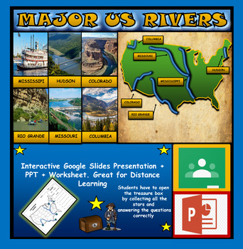
The US Major Rivers : Google Slides. Mississippi. Colorado. Hudson + Worksheets
The US Major Rivers : Google Slides, Distance Learning + Powerpoint Version + Worksheets. Interactive presentation & quiz on US major rivers. Please view the video previewINTERACTIVE GOOGLE SLIDES/POWER POINT PRESENTATION on The US major rivers. It can be used for distance learning and google classroom or on a interactive smartboard in the classroom.Once downloaded: Please view the GOOGLE SLIDES/POWERPOINT IN 'PRESENT ▶️' modeWorksheet also included in ZIP file 'Label the US rivers'. This is
Subjects:
Grades:
2nd - 7th
Also included in: U.S.A Geography Bundle: Google Slides Presentations + PPT's + Worksheets
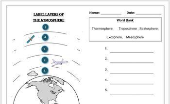
Earth Science Worksheet: Label the layers of the Atmosphere
Earth Science Worksheet: Label the layers of the atmosphereStudents have to label the layers of the atmosphere by looking at the numbers Students can color in the worksheet once they are doneWorksheet aimed at primary level/ high school levelAnswer key included on page 2
Subjects:
Grades:
K - 8th
Types:
U.S. Landmarks
U.S. Landmarks
*********************************************************************
Are your students learning about landmarks in Social Studies? These U.S.Landmarks coloring pages would be a great addition to any Social Studies History or Geography Unit!
Each page has a fact about the landmark so students learn while coloring!
U.S. Landmarks Included:
1. Golden Gate Bridge
2. White House
3. Hollywood Sign
4. Alamo
5. Cloud Gate
6. One World Trade Center (Freedom Center)
7. Grand Canyon
8. St.
Grades:
K - 3rd
Types:
Kids in Other Countries Lessons: Free Video Series: Distance Learning
Supporting Inclusive Resources to create Inclusive Classrooms for Elementary School ChildrenOne of my best discoveries this year, is the FREE on-line video series: Kids in Other Countries This free video series has been instrumental in developing global awareness while creating an atmosphere of appreciation within my grade two class. My goal in creating this resource was to support the video series by having students, reflect, connect, challenge and transform their thinking about social standar
Subjects:
Grades:
2nd - 6th
Types:
Winter Activities
Winter Activities - Map SkillsHere are 2 performance tasks that I created and used with my first grade students this year when we completed our Map Skills Unit. We actually did a practice run creating a map of our classroom early in the unit so they had experience doing something very similar to this.Students get to name their own Winterland and Holiday Town to create the maps. They really did a great job with these and most were easily able to show Proficiency. For each map, I gave the optio
Subjects:
Grades:
1st - 3rd
Types:
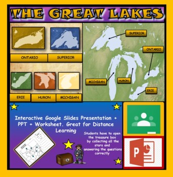
The Great Lakes: Interactive Google Slides, Distance Learning + PPT + Worksheet
The Great Lakes: Interactive Google Slides + PPT + Worksheet (DL)Interactive presentation & quiz on The Great Lakes of Northern America. Please view the powerpoint previewINTERACTIVE GOOGLE SLIDES/POWER POINT PRESENTATION on the five great lakes . It can be used for distance learning and google classroom or within the classroom.Once downloaded: Please view the GOOGLE SLIDES/POWERPOINT IN 'PRESENT ▶️' modeWorksheet also included in ZIP file 'Label the great lakes' .This is a word files.docx a
Grades:
2nd - 8th
Also included in: U.S.A Geography Bundle: Google Slides Presentations + PPT's + Worksheets
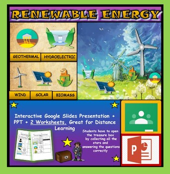
Renewable Energy Sources: Interactive Google Slides + PPT + 2 Worksheets
Renewable Energy Sources: Interactive Google Slides + PPT + 2 Worksheets (DL)Interactive presentation & quiz on Renewable Energy sources. Please view the powerpoint previewINTERACTIVE GOOGLE SLIDES/POWER POINT PRESENTATION on renewable energy resources. It can be used for distance learning and google classroom or within the classroom.Once downloaded: Please view the GOOGLE SLIDES/POWERPOINT IN 'PRESENT ▶️' mode2 Worksheets also included in ZIP file 'Renewable energy sources' and 'Renewable e
Subjects:
Grades:
1st - 6th
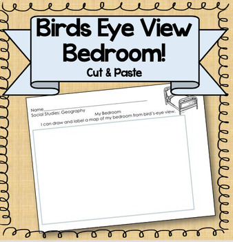
Birds Eye View Map: Primary Geography Activity!
Product Information: This is a simple printable to help teach the concept of map making. Students draw their bedroom from birds-eye view, labeling each piece of furniture. Get the bundle! This resource is part of a BUNDLE! If you are interested in using more than one of this kind of activity, consider purchasing the bundle for a steep discount! Related Resources: If you're interested in other primary Social Studies resources, check out these links! Nation, State, CommunityGeography PacketMake a
Subjects:
Grades:
K - 3rd
Types:
Also included in: Kindergarten Geography Bundle
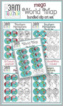
World Maps Clip Art: Mega Bundle Savings!!
This set includes over 80 beautifully detailed graphics in full color and black and white! Perfect for Common Core aligned lessons and resources!!
Included in this Bundle Savings:
Northern Hemisphere Set
Southern Hemisphere Set
Eastern Hemisphere Set
Western Hemisphere Set
Flat World Maps Set
Save over 40% when you purchase the Bundle!!!
All images are in PNG format (translucent background)
300 DPI (Perfect resolution for printing and re-sizing)
Thank you for your support & stopping by
Grades:
PreK - 12th, Higher Education, Adult Education, Staff
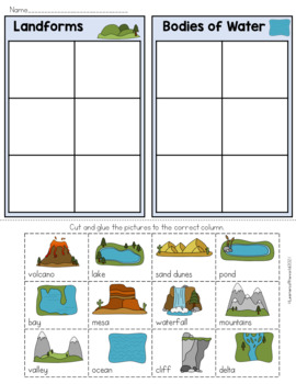
Landforms and Bodies of Water Sort
Landforms and Bodies of Water Sort WorksheetUse this colored landform cut and paste sorting activity with your class to teach them the difference between landforms and bodies of water. This hands-on sorting activity is perfect for pairs and small groups. Have your kids carefully cut out the images of different geographical features, before sorting them into two groups. Once they are confident they have sorted them into landforms and bodies of water, they can glue them onto the chart and check ag
Subjects:
Grades:
1st - 3rd
Types:
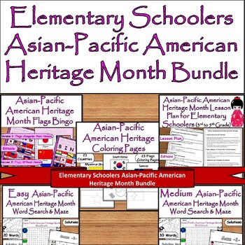
Elementary Asian-Pacific American Heritage Bundle:Bingo, Puzzles, Coloring Pages
Asian-Pacific American Heritage Bundle for Elementary : Bingo, Puzzles, Lesson Plan, Coloring PagesCelebrate Asian-Pacific American Heritage Month with this comprehensive bundle! Dive into a rich tapestry of culture and history with an Elementary School Lesson Plan, engaging students with the significance of this vibrant heritage. Challenge minds with entertaining Medium and Easy Word Search & Maze puzzles featuring 30 and 20 words respectively. Delve deeper into understanding with Flags Bin
Grades:
1st - 5th
Types:
Showing 1-24 of 492 results


