175 results
2nd grade world history resources on sale
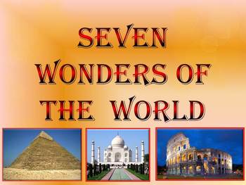
Seven Wonders of the Ancient World & New 7 Wonders Interactive
This is a beautiful and informative 23 slide PowerPoint presentation (+ 23 PDF). This is a super fun slide show. I've given you 20 files to look at in the Download Preview.The zip file contains: 1. PowerPoint presentation 2. PDF (23 pages) Seven Wonders of the Ancient World: 1.Great Pyramid of Giza 2. Hanging Gardens of Babylon 3. Temple of Artemis 4.Statue of Zeus at Olympia 5. Mausoleum at Halicarnassus 6. Colossus of Rhodes 7.Lighthouse of Alexandria New 7 Wonders of the World: 1. Gr
Subjects:
Grades:
K - 12th
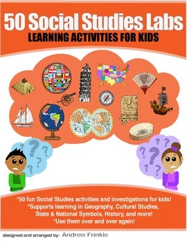
50 Social Studies Labs - Geography History Cultural Studies Economics Government
PREVIEW AVAILABLE!LIKE WHAT YOU SEE? CHECK OUT OTHER STEM RESOURCES IN MY SHOP!FROM THE CREATOR OF 50 STEM LABS & 50 MORE STEM LABS comes this collection of 50 Social Studies Activities for kids. Recommended for grades K to 6 and up! Each one has a snappy title, a brief set of instructions, recommended materials list, and space for notes. These are very adjustable for your classroom, home, or homeschool needs. Do projects for concepts like: Geography, Cultural Studies, Economics, History, G
Grades:
K - 8th
Types:
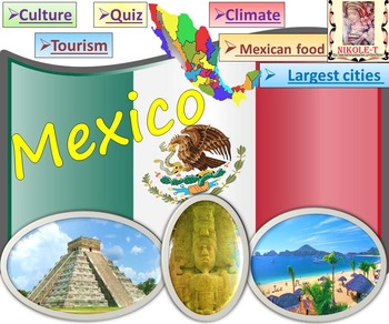
Mexico All About Mexico PowerPoint Presentation distance learning
Mexico: An Introduction to the Climate, Religion, Economy, Culture, Sport and FoodPowerPoint - Interactive slide showThe zip file contains: 2 products - PowerPoint presentation (50 slides)- PDF (50 pages )This is a beautiful and informative PowerPoint presentation.This is a super fun slide show. *Quiz*Government and politics*Administrative divisions*History*Largest cities Mexico CityGuadalajara MonterreyPuebla*Religion*Languages*Climate*Economy*Culture- UNESCO*TourismChichen ItzaTulumPalacio de
Grades:
1st - 9th
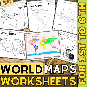
World Map with Countries | Continents and Oceans Blank Map | 1st to 12th Grade
These printable maps will be useful whether you are studying geography, world history, countries around the world, or you are just trying to show your kids the route you are taking on your next vacation! For kids learning about states, we've included a printable map of the world, as well as maps of North and South America, Europe, Asia, Australia, Africa, and Antarctica. Furthermore, the world map printable set comprises labeled and blank options for printing. To print the printable map PDF file
Grades:
K - 12th
Types:
Say Merry Christmas in different Languages
Here you have an ideal product to reinforce the geography skills, with a Christmas touch. These posters will liven up any room. You can even decorate a door or a quick Bulletin Board (Title, print the posters, decorative paper, borders and ready!) Remember that even your students can learn it for the Christmas program. Just use the Google translator to practice the pronunciation sounds and you have your activity. These posters are written in a romanization version for those with different alpha
Grades:
PreK - 12th, Higher Education, Adult Education, Staff
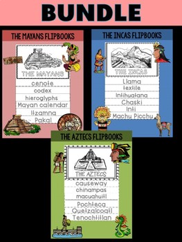
Bundle of FLIPBOOKS : Aztecs, Mayans, Inca Empires
BUNDLE OF 3 Ancient Civilizations Flipbooks1. Mayans2. Aztecs3. Incan Empire* Use for review, research, or as a supplement to your lesson * great for learning new vocabulary, the different aspects of civilization, or cultural facts * Editable file for you to adapt to your lessons What's Included in Each Flipbook Set: 1. Flipbook 1 - vocabulary 2. Flippbook 2 - Overview (technology, agriculture, food and culture, society, religion, geography) 3. Flipbook 3 - Blank with pictures 4. Flipbook 4 - B
Grades:
1st - 6th
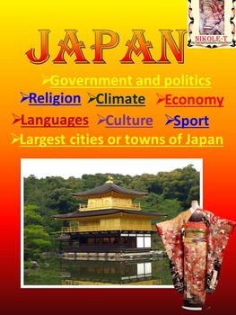
Japan Power Point Presentation | distance learning
Japan Power Point Presentation Climate Religion Economy Culture SportJAPAN POWERPOINT This is a beautiful and informative 44 slide PowerPoint presentation.Japan PowerPoint - Japan Activity - Quiz - Climate - Religion - Economy - Culture. This is a super fun slide show. I've given you 8 pages to look at in the Download Preview.The zip file contains: 2 products - PowerPoint presentation (44 slides)- PDF (42 pages )Iconic Japan, Japanese, Photos, Images, Culture, Society, Japanese cherry blossoms,
Subjects:
Grades:
1st - 10th
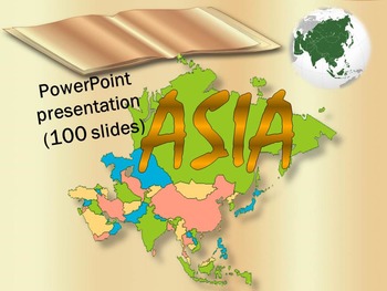
Asia Countries China India Japan Vietnam Nepal Russia Turkey distance learning
Asia Countries Interactive PowerPoint presentation (100 pages)This is a beautiful and informative 100 slide PowerPoint presentation. This is a super fun slide show. I've given you 10 pages to look at in the Download Preview.ASIA*Afghanistan *Armenia *Azerbaijan*Bahrain *Bangladesh *Bhutan *Brunei *Burma*Cambodia * China*East Timor *Georgia*India *Indonesia * Iran *Iraq *Israel*Japan *Jordan*Kazakhstan *Kuwait * Kyrgyzstan*Laos *Lebanon*Malaysia *Maldives * Mongolia*Nepal
Subjects:
Grades:
1st - 12th
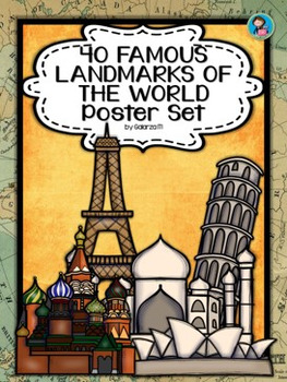
40 Famous Landmarks of the World Poster Set
If you are looking to improve your students skills in Geography here is the resource you need. I had so much fun researching these Landmarks and sparkle my skills also with the new facts on the most famous landmarks of the World. Lots of information, but cool things you can use in class. Here is a set of Posters each with a Fact Sheet. You can print it on card stock with double sided with the facts or separated to create your own activities for your students. The will have fun with geography
Grades:
PreK - 12th, Higher Education, Adult Education, Staff
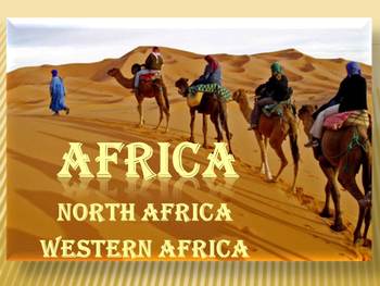
Africa Countries PowerPoint presentation Political map Egypt distance learning
Africa North Africa Western Africa PowerPoint presentation Africa This is a beautiful and informative 50 slide PowerPoint presentation. I've given you 6 slides to look at in the Download Preview.Africa- North Africa, Western Africa- political map - North Africa* Morocco* Algeria* Tunisia* Libya* Egypt* Sudan* Western Sahara - Western Africa* Mauritania* Mali* Burkina Faso* Niger* NigeriIvory Coasta* Benin* Togo* Ghana* Ivory Coast* Liberia* Sierra Leone* Guinea* Guinea- Bissau* Senegal* Gambia-
Subjects:
Grades:
K - 12th
History Timeline dating from -8,000 to 2016
A timeline showing important dates and world events.
These are A4 Landscape format
Can be used for display purposes and/or teaching aids.
As BC and AD are sometimes thought to be politically incorrect, this timeline uses the more modern terms of 'BCE and CE'.
Suitable for ALL GRADES. Remove what you don't need.
This resource has now been UPDATED and REVAMPED (20th August, 2016)
Now includes dates from -8,000 to 2016.
Grades:
1st - 12th, Higher Education, Adult Education
Types:
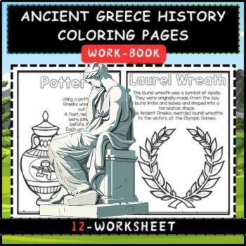
Ancient Greece History Coloring Pages for kids
Making learning about history fun with these printable, Ancient Greece Coloring Pages! Simply print the greek coloring pages to read, color, and learn about Ancient Greece for kids including the location of the Greek Empire, the acropolis, traditional food, clothing, the Trojan horse, first Olympics, ships, warriors, and even greek mythology. This is a fun way to explore history for kids with kindergarten, first grade, 2nd grade, 3rd grade, 4th grade, 5th grade, and up!Ancient Greece Coloring Pa
Grades:
PreK - 5th, Staff
Types:
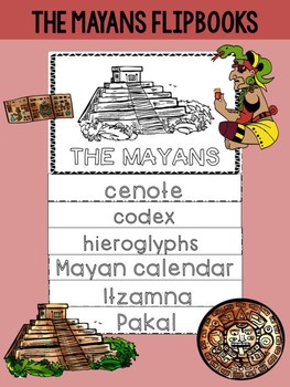
FLIPBOOKS : The Mayans / Maya Empire
The Mayan Empire Flipbooks
* Use for review, research, or as a supplement to your lesson
* great for learning new vocabulary, the different aspects of civilization, or cultural facts
* Editable file for you to adapt to your lessons
What's Included:
1. Flipbook 1 - vocabulary ( cenote, codex, hieroglyphs, Itzamna, Mayan calendar, Pakal )
2. Flippbook 2 - Overview (technology, agriculture, food and culture, society, religion, geography)
3. Flipbook 3 - Blank with pictures
4. Flipbook 4 - Blank
Grades:
1st - 6th
Also included in: Bundle of FLIPBOOKS : Aztecs, Mayans, Inca Empires
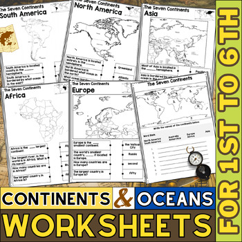
Continents and Oceans Worksheets | Blank Map | World Map with Countries
This printable page pack featuring the seven continents is an excellent tool for honing geography skills. These continents and oceans worksheet pdf will make learning about the seven major continents enjoyable for students. Utilize these maps with kindergarten, first, second, third, fourth, fifth, and sixth grade elementary students as an additional practice or as part of a social studies unit.These No prep worksheets, which teach students some fascinating facts about each continent along with p
Grades:
1st - 6th
Types:
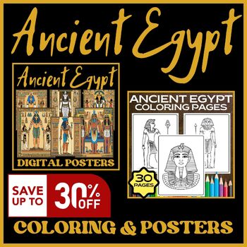
Ancient Egypt Coloring Pages - Ancient Egypt Posters - Bundle
Explore the wonders of Ancient Egypt with our captivating coloring pages and posters bundle! Then, adorn your walls with our stunning posters featuring majestic monuments and timeless artifacts. Perfect for history enthusiasts, educators, and anyone with a passion for the mysteries of the Nile. Unveil the secrets of Ancient Egypt with our bundle today!The Bundle Includes:Ancient Egypt Coloring PagesPrintable Ancient Egypt Digital PostersFOLLOW ALONG!★★★ Click Here to follow me to get regular upd
Grades:
2nd - 5th
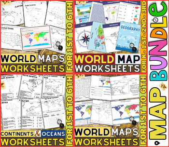
World Map Worksheets | Continents and Oceans Blank Map | 1st to 12th Grade
⭐⭐⭐⭐⭐Kids enjoy studying about the world in which they live! With the help of these entertaining printable Continents and Oceans Worksheets, they will love learning about the seven continents and the corresponding geography. For students in kindergarten, first grade, second grade, third grade, fourth grade, fifth grade and sixth grade utilize these worksheets on continents and oceans. After printing the Continents and Oceans Worksheets pdf, you can begin learning and having fun.These printable W
Grades:
PreK - 9th
Types:
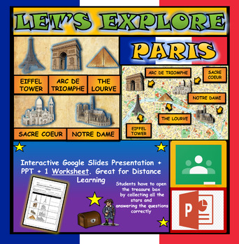
Lets Explore Paris, France Landmarks: Google Slides, Interactive Powerpoint
Let's Explore: Paris Landmarks: Interactive Google Slides, Distance Learning + WorksheetInteractive Paris Landmarks Map (click on each landmark to find out more) & Interactive quiz on Paris Landmarks. Please watch the preview video to understand how this product worksThis presentation works great for interactive whiteboard/smartboard lesson, where students can come up and touch the board. Students can also view /interact with the presentation individually.INTERACTIVE GOOGLE SLIDES/POWER POIN
Grades:
2nd - 6th
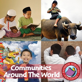
Communities Around The World Gr. 2-3
Students delight as they explore the rich diversity of communities from all over the world.
About this Resource:
Throughout the unit, students conduct an in-depth study of Egyptian communities, as well as extensive research into another community of their choice. Using this open-ended resource to supplement students' look at communities around the world, they will learn about the concepts of custom and tradition of people in their own community and of people throughout the world. Students lea
Grades:
2nd - 3rd
Types:
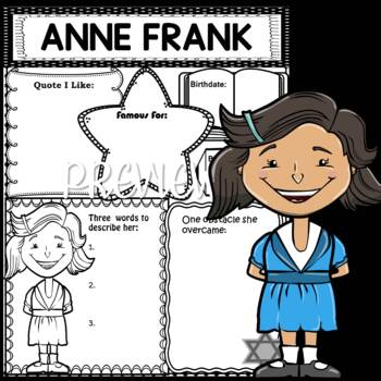
Graphic Organizer Set : Anne Frank
Anne Frank Graphic OrganizerAnne Frank - German-Jewish teenager who went into hiding during the Holocaust. She recorded her experiences in the renowned work The Diary of Anne Frank.Women's History MonthGreat for thematic lessons, biography report research, or review!11 Pages in allIncluded:1. Biography Graphic Organizer A* Quote I Like* Famous For* Birthdate / Birthplace* One obstacle she overcame* Three words to describe her2. Biography Graphic Organizer B* Three facts about her* How she change
Grades:
1st - 4th
Also included in: Bundle - Graphic Organizers - Women's History Month (Set 1)
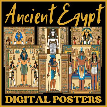
Printable Ancient Egypt Digital Posters
Delve into the rich history of Ancient Egypt with our collection of printable digital posters! These beautifully designed posters feature iconic symbols, landmarks, and figures from Ancient Egyptian civilization, making them perfect for educational displays, homeschooling resources, or historical decor.Files Included:24 PostersSize: 8.5 x 11 inchesFiles are PDF & JPG FormatFOLLOW ALONG!★★★ Click Here to follow me to get regular updates about new resources and awesome freebies ★★★★★★ Click He
Grades:
2nd - 5th
Also included in: Ancient Egypt Coloring Pages - Ancient Egypt Posters - Bundle
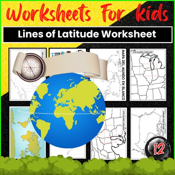
Printable Map Lines of Latitude Worksheet
Are you teaching geography and in need of a resource to help your students understand lines of latitude? Look no further! This blog post will introduce you to a highly useful and engaging lines of latitude worksheet that will make grasping this concept a breeze for your students. Table : World Map with Latitude and Longitude World Map with Latitude and Longitude Grid Blank World Map with Countries Printable Texas Map with Counties Blank Map Canada Provinces Printable Map with L
Grades:
2nd - 9th
Types:
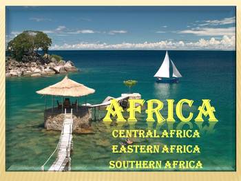
Africa Countries PowerPoint Presentation Nile River distance learning
Africa - Countries - PowerPoint PresentationCentral Africa, Eastern Africa, Southern AfricaThis is a beautiful and informative 62 slide PowerPoint presentation. I've given you 5 slides to look at in the Download Preview.Africa- Central Africa, Eastern Africa, Southern Africa - political map - Central Africa* Chad* Cameroon* Central African Republic* Congo* Gabon* Equatorial Guinea* Angola-Eastern Africa* Eritrea* Djibouti* Ethiopia* Somalia* Kenya* Uganda* Tanzania* Madagascar* Rwanda* Burundi*
Subjects:
Grades:
K - 12th
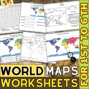
World Map Worksheets | Continents and Oceans Blank Map | 1st to 6th Grade
Kids enjoy studying about the world in which they live! With the help of these entertaining printable Continents Worksheets, they will love learning about the seven continents and the corresponding geography. For students in kindergarten, first grade, second grade, third grade, fourth grade, and fifth grade, utilize these worksheets on continents and oceans. After printing the Continents and Oceans Worksheets pdf, you can begin learning and having fun.These No Prep continent worksheets are perfe
Grades:
1st - 6th
Types:
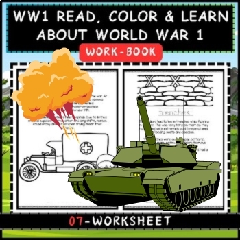
WW1 Coloring Pages – Read, Color & Learn About World War 1 For Kids
A great way to dive into the history of World War I for kids, is with these fun WWI coloring pages for children to read, color, and learn pages. These world war 1 worksheets would make a great addition to history lessons, a World War One unit in your homeschool, or area parent learning about world war 1 for kids. Simply print these great war printables to teach pre-k, kindergarten, first grade, and 2nd grade students. WW1 Coloring PagesWhether you are a parent, teacher, or homeschooler – you wil
Subjects:
Grades:
PreK - 5th, Staff
Types:
Showing 1-24 of 175 results


