826 results
Preschool geography flash cards
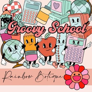
Groovy School Clipart bundle, boho school clip art, bulletin board, commercial
A cute, hand-drawn clipart set with a groovy school theme.Consists of over 50 individual, high definition png files with a transparent background.Also includes black-and-white versions of all images, suitable for coloring etc.For personal and commercial use.
Subjects:
Grades:
PreK - 12th
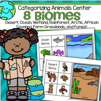
Biomes 8 Animal Habitats Sorting Center for Preschool and Kindergarten
This is a set of 8 biomes or habitats mats, each with 5 related animals to match to the mats.Biomes included are: desert, ocean, rainforest, African savanna, forest, arctic, grassland (farm), and wetland. Print on cardstock for longest use.Click on the PREVIEW link to see all pages.
Subjects:
Grades:
PreK - 1st
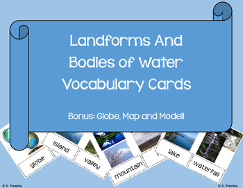
Landforms and Bodies of Water Vocab Picture Cards
Vocabulary Pictures cards perfect for any early childhood or ESOL classroom!
* mountain
* hill
* plain
* farmland
* waterfall
* island
* valley
* pond
* lake
* river
* ocean
* shoreline
* globe
* model
* coast
* stream
* gulf
* bay
* continental shelf
* continental slope
* abyssal plain
* wetlands
* groundwater
* glacier
* iceberg
* ice caps
* canyon
* plateau
* trench
Grades:
PreK - 1st
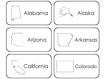
50 States Printable Flashcards. US Geography.
One of our 50 States educational game downloads in a PDF file.
Here is what you get!
50 States Printable Flashcards. Prints 6 cards per page on 9 pages total.
Designed by Teach At Daycare Handcrafted Curriculum, in Arkansas City KS.
Please see the other items in our store. If you have any questions please do not hesitate to send me an email.
Thank you for visiting.
Annette Sutherland
Grades:
PreK - 5th
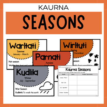
Kaurna Seasons | Australian Aboriginal Seasons Calendar & Worksheet
✏️ Celebrate the rich cultural heritage of the Kaurna Indigenous Aboriginal Australians with our Seasons Calendar & Worksheet! This comprehensive resource includes 5 display posters and a worksheet to help students learn about the traditional Kaurna seasons. With a link to the Indigenous Weather Map, this resource is an excellent tool to support teaching and learning about Indigenous culture and weather patterns.What's Included?5 Display PostersWorksheetThe information provided in this resou
Subjects:
Grades:
PreK - 12th
Types:
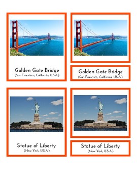
Landmarks in North America (3 Part Montessori Cards)
This is a pdf file containing 3 part Montessori cards. It includes 16 landmarks from USA, Canada, Mexico, Costa Rica, Honduras, Guatemala, Haiti, Cuba, Panama and the Bahamas. Students can match picture cards and labels. This material is a great tool to help students learn about different places in North America.
**Updated to include more countries.
Subjects:
Grades:
PreK - 1st
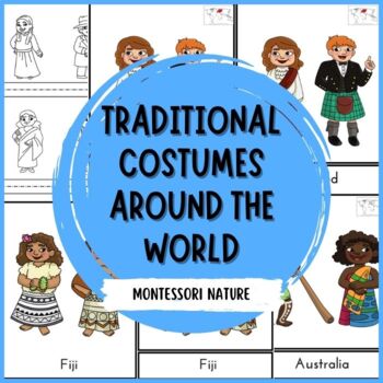
Traditional Costumes Around The World 3-Part Cards Montessori
Enhance your classroom theme with these multicultural engaging and educational 3-part cards featuring people from around the world in their traditional outfits. These cards include a world map with highlighted continents for added learning opportunities. With 30 control cards, 30 label cards, and 30 picture cards, this printable resource is perfect for teaching about different cultures and countries.This comprehensive set is ideal for teachers looking to expand their students' global awareness a
Subjects:
Grades:
PreK - 1st
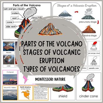
Parts of Volcano Stages of Volcanic Eruption Types of Volcanoes Montessori
Enhance your geography curriculum with these engaging volcano printables! This comprehensive set includes detailed information on the stages of volcanic eruption, parts of the volcano, volcanoes of the continents, and different types of volcanoes. Perfect for integrating into lessons about dinosaurs, the Montessori First Great Lesson, or Earth units, these printables are designed for preschool, kindergarten, and grade 1 students. With colorful visuals and easy-to-understand content, these resour
Subjects:
Grades:
PreK - 1st
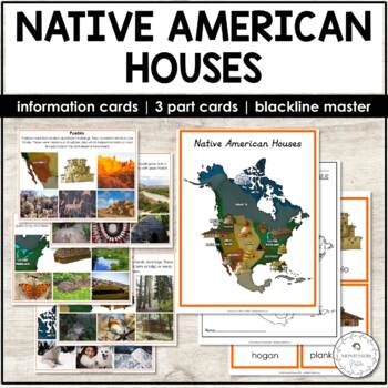
Native American Houses Information and Picture Cards, 3 Part Cards
This resource presents eleven types of houses built by Native American people across various geographical locations of North America. This is a colorful printable that combines realistic and historically accurate clipart with photographs. These picture information cards can be used with different age groups. The set also includes Montessori 3 parts cards, a student booklet to be colored and labeled, and a b&w map for students to color and find location areas where the different types of Nati
Subjects:
Grades:
PreK - 1st
Also included in: North America Continent Bundle - Montessori
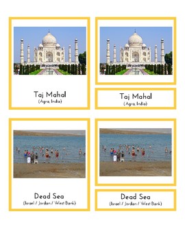
Landmarks in Asia
This is a pdf file containing 3 part Montessori cards. It includes 20 landmarks from China, Japan, Vietnam, the Philippines, Malaysia, Singapore, Mongolia, Nepal, Bhutan, Armenia, Oman, Jordan, Israel, Indonesia, Lebanon, Cambodia, United Arab Emirates, South Korea, Thailand, and India). Students can match picture cards and labels. This material is a great tool to help students learn about different places in Asia.*updated to include more countries / landmarks
Subjects:
Grades:
PreK - 4th
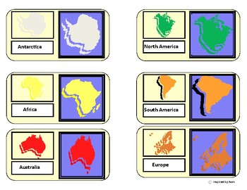
"Continents Map Match"/Flashcards for Autism
Have students use the variety of map boards to sort/match continents. Students will create a completed map of continents after completion of task. Prompts of color matching, identical matching, shadow matching, and blank map template boards are included. Flahcards with labeled picture of each continent are also provided to supplement for total learning and memorization of all 7 continents.
*Updated with a color your own continents map set!
"Continent Map Match" for Autism by Inspired by Evan is
Grades:
PreK - 5th
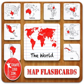
Entire World Geography Flashcards + Printable & Digital Maps ~ MEGA BUNDLE!
ENTIRE WORLD Map Flashcard Set Includes x900 Flashcards of ALL 270 Total Countries + Locations in both Printable & Digital formats. Flashcards are easy to use & perfect for a quick print & go or for creating fun interactive resources like geography games, activities, quizzes, presentations, worksheets, & more!✅ What Is Included?1) Zip File = Packed full of 900 Flashcards for x270 Countries + Locations in The World.—> Simple to Use, Easy to Download, Engagingly Themed, 3-Part F
Grades:
PreK - 12th, Higher Education, Adult Education
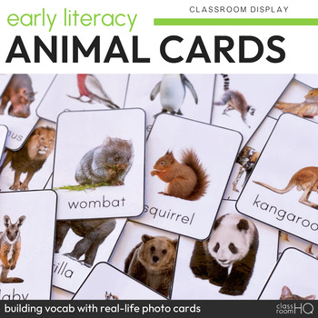
Animal Photo Picture Flashcards
Build vocabulary in preschool and kindergarten with these non-fiction animal photo picture cards. Perfect for display at home or the classroom, you can edit the text of these flashcards to any language you need - making them perfect for bilingual classrooms!Using clear real life photos throughout, these gorgeous editable animal flashcards can be used many different ways in your classroom and at home. The use of non-fiction photos will help your students make connections making these ideal for us
Subjects:
Grades:
PreK - 3rd
Types:
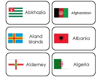
245 World Flags Printable Preschool-Elementary Geography Flashcards.
One set of our Specialty Flash Cards in a single PDF file.Here is what you get!245 World Flags Flashcards. Prints 245 flashcards and 1 title card. Prints 41 pages.Learn and teach about some of the different types of world flags with these new Flashcards.Each card measures 4.25 inches by 2.25 inches after printed and cut out.Please see our other items in our store. We offer full sets of curriculum for preschool aged children.
Subjects:
Grades:
PreK - 8th
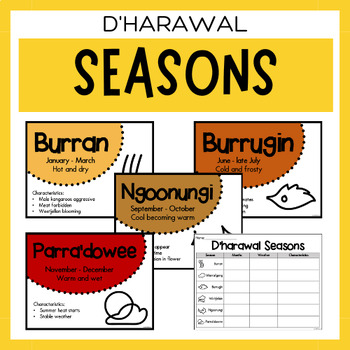
Australian Aboriginal Seasons Calendar & Worksheet - D'harawal
✏️ Celebrate the rich cultural heritage of the D'harawal Indigenous Aboriginal Australians with our Seasons Calendar & Worksheet! This comprehensive resource includes 7 display posters and a worksheet to help students learn about the traditional D'harawal seasons. With a link to the Indigenous Weather Map, this resource is an excellent tool to support teaching and learning about Indigenous culture and weather patterns.What's Included?7 Display PostersWorksheetThe information provided in this
Subjects:
Grades:
PreK - 12th
Types:
Also included in: Dharawal Vocabulary Bundle | Aboriginal Language Resource
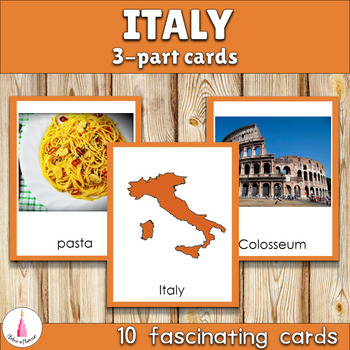
Italy Montessori 3-part Cards
These cards will help your child to explore and know more about Italy! They can be used during Europe study. These are three part cards that include Italy map, capital, landmarks and other! The color coding corresponds to Montessori Europe map.The material consists of:-10 name and picture cards-10 picture cards-10 name cardsThe file includes instruction with presentation for using the material.⚑ Are you interested in 3-part cards of other European countries? Look what I have:⟜Denmark⟜Finland⟜Fra
Subjects:
Grades:
PreK - 2nd
Also included in: European Countries Montessori 3-part Cards Bundle
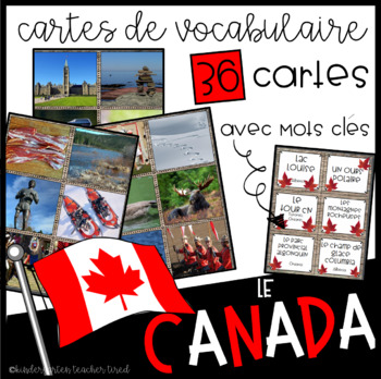
Le Canada: Cartes de vocabulaire
Célébrons la fête du Canada!
Let's celebrate Canada's 150th birthday on July 1st 2017!
$1.50 special to celebrate Canada's 150th!
Included in this product are 36 beautiful, full-colour cards of Canadian symbols, landmarks, geographical areas, activities, sports and people!
These can be used in many many different ways: in sensory bins, as flash cards, as anchor charts, as writing prompts, as dramatic play props... The sky's the limit!
On one side of the card is the French vocabulary word,
Subjects:
Grades:
PreK - 6th
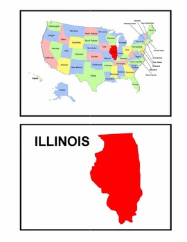
Identifying the 50 States - Visual-Spatial, Size, and Shape Practice
This is a great PDF for Visual-Spatial, Size, and Shape Practice and Refinement of the 50 states. It provides each state individually on a map of the United States, as well as the shape and name of each state. This is perfect for overheads and a great PDF to download to your iBooks to review and identify the geography of the United States.
Subjects:
Grades:
PreK - 12th, Higher Education, Adult Education
Types:
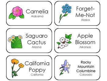
50 State Flowers Printable Flashcards. State Symbols Curriculum.
One of our 50 States educational game downloads in a PDF file.
Here is what you get!
50 State Flowers Printable Flashcards.
Designed by Teach At Daycare Handcrafted Curriculum, in Arkansas City KS.
Please see the other items in our store. If you have any questions please do not hesitate to send me an email.
Thank you for visiting.
Annette Sutherland
Grades:
PreK - 5th
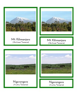
Landmarks in Africa (3-Part Montessori Cards)
This is a pdf file containing 3 part Montessori cards. It includes 16 landmarks from South Africa, Egypt, Morocco, Kenya, Zimbabwe, Tanzania, Ethiopia, The Gambia, Zambia, Namibia, Mali, Madagascar, Mauritius and Tunisia. Students can match picture cards and labels. This material is a great tool to help students learn about different places in Africa.*updated to include more countries (e.g. Morocco, Mauritius)
Subjects:
Grades:
PreK - 2nd
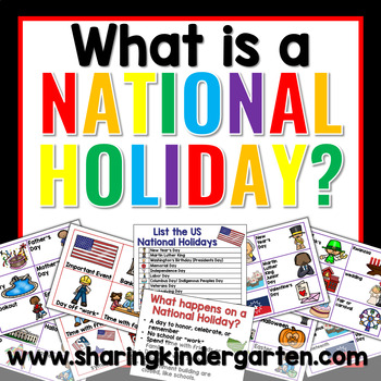
National Holiday Printables, What is a National Holiday? Social Studies
What is a National Holiday?: This simple pack is an excellent introduction to explaining national holidays to little learners. This printable pack comes with charts and pocket chart sorts to help guide learning towards What is a National Holidays. With this low-prep intro to National Holidays activities, just print, laminate, and teach. I use this before I teach any National Holidays to make sure my students understand the difference between a celebration and a national holiday. Here’s how some
Subjects:
Grades:
PreK - 1st
Types:
Also included in: National Holiday Bundle Social Studies Kindergarten 1st Grade
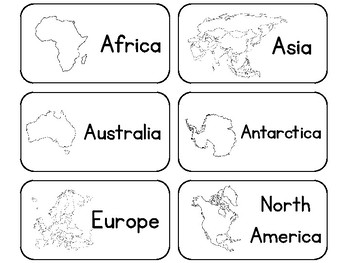
23 Printable Black and White Geography Word Flashcards. Continents and Oceans.
One of our Geography educational downloads in a PDF file.
Here is what you get!
23 Printable Black and White Geography Word Flashcards. Prints 6 cards per page. Flashcards include:
Continent Names
Ocean Names
Number of countries are in each Continent
Prints 4 pages total.
Designed by Annette Sutherland, owner of Trinity Teachings, Books and Bubbles Family Care and Teach At Daycare Handcrafted Curriculum, in Arkansas City KS.
Click here to visit my Teach at Daycare Store here on TPT
Pleas
Grades:
PreK - 5th
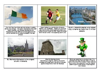
Ireland St. Patrick's Day Montessori Fact cards
This set of 24 cards is a great tool to have in your St. Patrick's day lesson plan. Filled with educational and fun facts about Ireland, your children re sure to enjoy them. Simple print on cardstock, glue onto green paper and laminate. Hope you enjoy them and please leave feedback. :)
Subjects:
Grades:
PreK - 4th
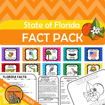
State of Florida Fact Pack {informational text, posters, printables, more}
State of Florida Fact PackCovers 10 different facts about Florida including:capitalstatehoodbordering statesstate flowerstate treestate insectstate reptilestate mammalstate birdstate motto Contains 80 printable pages including:posters, flashcards, informational text, practice pages, mini books and more!
Grades:
PreK - 4th
Types:
Showing 1-24 of 826 results


