244 results
Not grade specific geography interactive notebooks
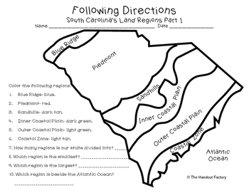
South Carolina's Land Regions- Following Directions Activities
Do you want your students to practice following directions and learn about South Carolina's land regions at the same time?!?! If so, these maps are for you!
This download includes two maps. On the first map, your students will color each region in a specific color. Your students will also answer a few questions about the map. On the second map, your students will draw certain characteristics inside each region. Example: Draw 3 mountains in the Blue Ridge.
This activity is a part of my So
Subjects:
Grades:
Not Grade Specific
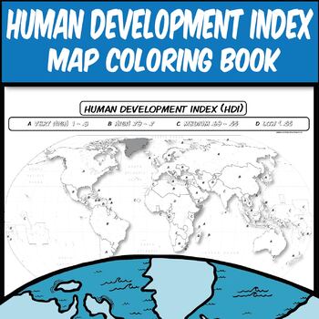
Human Development Index **Coloring Map Series** Human Geography
Key Terms: AP Human Geography, Human Development Index, HDI, Development, UN, United Nations, Economic Development, Literacy Rate, GNI, Life Expectancy.Guide your lecture notes with this printable coloring book page of the Human Development Index (HDI). Have students Google the latest UN HDI report to understand how Literacy Rate, GNI, Life Expectancy help create this index. After, give them this printable to see the spatial distribution of development around the world.These coloring book pages
Grades:
Not Grade Specific
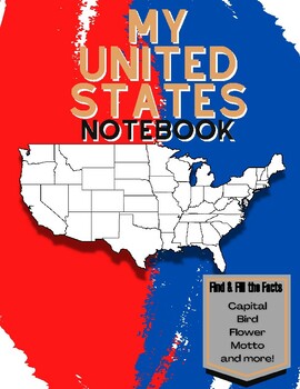
My 50 States NoteBook: Learn and Fill the Facts!
This is a workbook that helps children journey through the 50 states, learning all the facts in each state. There is a page for every state where the child fills in these facts:-Capital-Date Founded-Abbreviation-Bordering States-Motto-Famous Person-State Bird-State Flower- Fun FactsWhen they are done, they find the state on the map and color in its location. This is a fun interactive way to learn all the information about the 50 states. When they are done they will have completed a wonderful not
Grades:
Not Grade Specific
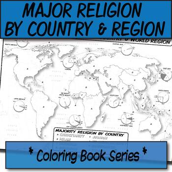
Major Religion by Country & Region Map/Charts **Coloring Book Series**
**Geography Coloring Book Series**Guide your lecture notes with these printable coloring book pages of the majority of practiced world religions by country and region. These are great for printing multiples and cutting for student interactive notebooks as minis. These are particularly great for AP Human Geography, any geography course, religion, cultural studies, or anthropology course.The format is .PNG to allow for you to paste and stretch in Word. I've found that .3'' margins (all sides) is t
Grades:
Not Grade Specific
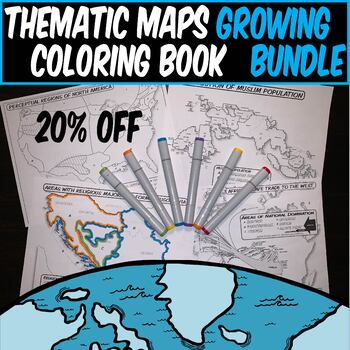
Growing bundle *THEMATIC HISTORY & GEOGRAPHY MAPS* **Coloring Book Series**
*THEMATIC HISTORY & GEOGRAPHY MAP GROWING BUNDLE*This is a collection of my thematic geography and history coloring book maps in one place. Maps are ready for teachers to print off and use in the classroom. The benefit of buying now is that future maps to this bundle are then free to you, and it's 20% off the individual list prices! Use these social studies thematic maps for:Interactive Notebooks (print multiples on a single page and cut/paste).Poster Sized prints for Bulletin BoardsCatharti
Grades:
Not Grade Specific
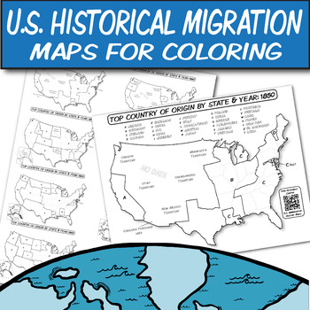
Historical U.S. Immigration Charts for Coloring-An Interactive Map Lesson
**Geography Coloring Book Series****History Coloring Book Series**U.S. Historical Migration Patterns & Processes: Explore the historical immigration patterns of the United States through MAPS with the help of QR codes. These are perfect for your Human Geography, US History, or other humanities course that discusses U.S. immigration and its policies.These blank U.S. Historical Immigration maps are ready for students to color. Students can see how the U.S. demographics changed over time. Maps
Grades:
Not Grade Specific
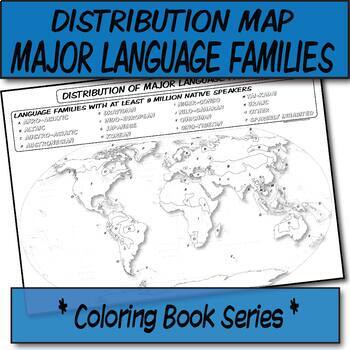
Major Language Families Distribution Map **Coloring Book Series**
**Geography Coloring Book Series**Guide your lecture notes with these printable coloring book pages of the distribution of the major language families. These are great for printing multiples and cutting for student interactive notebooks as minis. These are particularly great for AP Human Geography, any geography course, linguistics, cultural studies, or anthropology course.The format is .PNG to allow for you to paste and stretch in Word. I've found that .3'' margins (all sides) is the farthest m
Grades:
Not Grade Specific
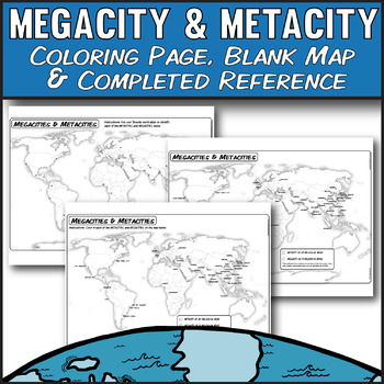
Megacity & Metacity **Coloring Map Series** AP Human Geography
Key Terms: AP Human Geography, Urbanization, Megacity, Megacities, Metacities, Metacity, 6.2Guide your urbanization lecture with these printable coloring book pages and lecture image of 2020's world urban MEGACITIES & METACITIES. Students can discover which world cities identify as having more than 10 million residents (megacity) and 20 million residents (metacity). Statistics are gathered from multiple sources that include city proper, urban area, greater metropolitan, and U.N. estimates as
Grades:
Not Grade Specific
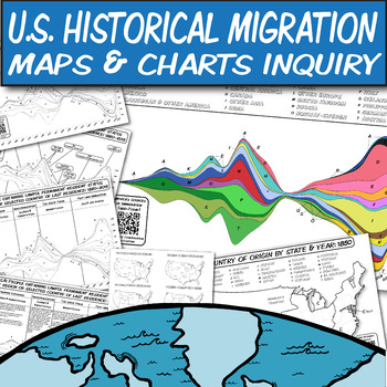
Historical U.S. Immigration Maps & Charts for Coloring *6-Way Lesson Plan*
**Geography Coloring Book Series****History Coloring Book Series**U.S. Historical Migration Patterns & Processes: Explore the historical immigration patterns of the United States through a series of charts and maps with the help of QR codes. These are perfect for your Human Geography, US History, or other humanities course that discusses U.S. immigration and its policies.These blank U.S. Historical Immigration maps and charts are ready for students to color. Students can see how the U.S. de
Grades:
Not Grade Specific
Also included in: AP Human Geography-UNIT 2 Bundle-Population & Migration
Social Studies Notebook Cover
Social Studies Notebook CoverIncluded are two Social Studies covers:1. Only the name2 Name and spaces to put school year, or teacher name, etc.Please scale to size before printing to fit the size of different notebooks.Thank you for your support!
Grades:
Not Grade Specific
Also included in: Interactive Notebooks
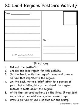
South Carolina Regions Postcard Activity
This activity is geared towards South Carolina's third grade social studies standards.
The students will...
1. Choose one land region.
2. On the front, write the region’s name and draw a picture that represents the region.
3. On the back, write a brief letter (including 2 facts about the region) to a person of their choice.
4. Write that person’s address on the lines.
5. Draw a picture or use a sticker for the stamp.
A rubric is included with the activity.
This would make a great bullet
Subjects:
Grades:
Not Grade Specific
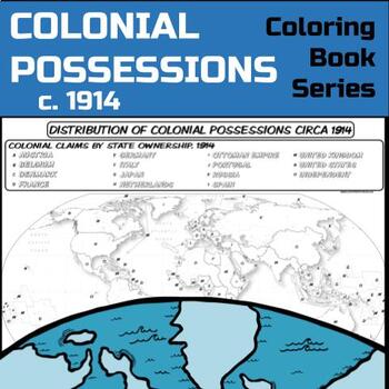
Colonial Possessions Map, circa 1914 **Coloring Book Series**
Guide your lecture notes with these printable coloring book pages of global colonial possessions circa 1914. These are particularly great for AP Human Geography, AP US History, AP European History, and AP World History - though any humanities course will benefit.Making a lesson about colonialism and imperialism? Have kids check out the spatial distribution of colonial possessions circa 1914:The format is .PNG to allow for you to paste and stretch in Word. I've found that .3'' margins (all sides)
Grades:
Not Grade Specific
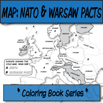
NATO & WARSAW Maps (3) **Coloring Book Series**
**History Coloring Book Series****Geography Coloring Book Series**Guide your lecture notes with these printable coloring book pages of the NATO and WARSAW Pacts. These are great for printing multiples and cutting for student interactive notebooks as minis.There are three maps in this .zip. NATO and WARSAW Coloring pattern page (no names or letter guides)NATO and WARSAW Coloring page with guiding lettersNATO and WARSAW Coloring page with guiding letters and country names.Please know how to unzip
Grades:
Not Grade Specific
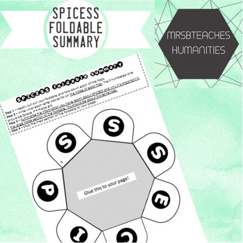
Australian Curriculum - SPICESS Geography concepts foldable
The concepts of Space, Place, Interconnection, Change, Environment, Sustainability and Scale (SPICESS) are fundamental concepts for geography students today. This resource links directly to the Geographical knowledge and understanding strand of the Australian Curriculum. This foldable will help your students have a tangible graphic organiser that will help them remember the acronym and how to apply it in their geographical studies.
Australian Curriculum content descriptor:
Year 7:(ACHGS047)
Ye
Subjects:
Grades:
Not Grade Specific
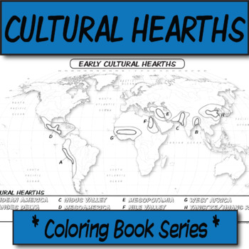
Early Cultural Hearths **Coloring Book Series**
**Geography Coloring Book Series**Guide your lecture notes with these printable coloring book pages of human's early cultural hearths. If you are discussing cultural diffusion, or the early river valley systems, this might be for your kids! These are particularly great for AP Human Geography, AP US History, AP European History, and AP World History - though any humanities course will benefit.The size is 8.5x14 (legal). The format is .PNG to allow for you to paste and stretch in Word. I've found
Grades:
Not Grade Specific
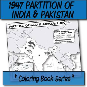
1947 Partition of India & Pakistan **Coloring Book Series**
**Geography Coloring Book Series****History Coloring Book Series**Guide your lecture notes with these printable coloring book pages of the 1947 Partition of India & Pakistan. These are great for printing multiples and cutting for student interactive notebooks as minis. These are particularly great for AP Human Geography, AP US History, AP European History, and AP World History - though any humanities course will benefit.The format is .PNG to allow for you to paste and stretch in Word. I've f
Grades:
Not Grade Specific
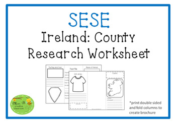
Ireland County Research Brochure
County Research BrochureResearch a county of choice or one picked at random and complete this brochure style project worksheet.
Grades:
Not Grade Specific
![Preview of Vintage Globe Passport [Booklet Template, Editable]](https://ecdn.teacherspayteachers.com/thumbitem/Vintage-Globe-Passport-Booklet-Template-Editable--8449946-1662389689/original-8449946-1.jpg)
Vintage Globe Passport [Booklet Template, Editable]
This editable passport booklet can be used with any grade level to record basic facts about countries studied throughout the year. The file is editable, so it can be adjusted for students' country of origin, student details, and country facts required by teacher. Images of a globe that looks like a photo is a space for a student photo or a passport stamp (passport stamps are not included). Pages can be printed double-sided for easy passport compilation. The passport spine is 1/8" thick to allow
Grades:
Not Grade Specific
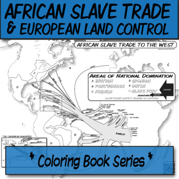
African Slavery Trade to the West **Coloring Book Series**
**Geography Coloring Book Series****History Coloring Book Series**Guide your lecture notes with these printable coloring book pages of the African slave trade to the West, with this flow-line map. These are great for printing multiples and cutting for foldables in student interactive notebooks as minis. These are particularly great for AP Human Geography, AP US History, AP European History, and AP World History - though any humanities course will benefit.Areas of European control are "color-by-l
Grades:
Not Grade Specific
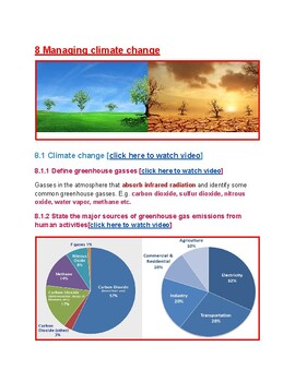
8 Managing climate change
Strictly follows the A-level Cambridge Environmental management new syllabus for examinations from 2022. A great resource for both teachers and students- a remedy since Cambridge has no resource yet for this syllabus. It is also useful for any environmental studies, Biology and even Geography at all levels. Contains quality pictures with relevant Youtube links. This resource covers-Define greenhouse gasesthe major sources of greenhouse gas emissions from human activitieshow increased concentrati
Subjects:
Grades:
Not Grade Specific
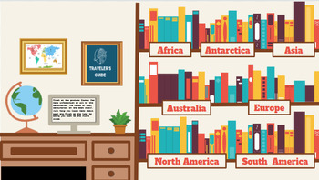
7 Continents Interactive Activities
Do you teach Social Studies? Do you teach any sort of geography? Are you looking for interactive activities? Do you want your students to be independent learners? Look no further. Using these interactive slides your students can do their own research! All you have to do is share these slides in presentation mode, and watch the kids do the rest! They are sure to be highly engaged navigating through each slide, and motivated to click through all of the provided resources. They will truly unveil a
Grades:
Not Grade Specific
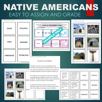
Native American Cultures (Igloo, Tepee, Wigwam) Sort & Match STATIONS Activity
FOLLOW ME SO YOU CAN CHECK OUT MY OTHER FREE PRODUCTS AS THEY ARE RELEASED!!! This no-prep activity involves matching vocabulary from Native American Cultures (Igloo, Tepee or Teepee, Wigwam, Totem Pole, Longhouse, Potlatch) to definitions and drawings. It can be used as a hands-on sort and match or cut apart and glued into an interactive notebook. Two sizes of templates are available in this download as well as work mats for use with the smaller set. Instructions and suggestions are include
Subjects:
Grades:
Not Grade Specific
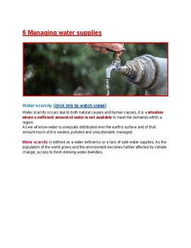
6 Managing water supplies
Strictly follows the A-level Cambridge Environmental management new syllabus for examinations from 2022. A great resource for both teachers and students- a remedy since Cambridge has no resource yet for this syllabus. It is also useful for any environmental studies, Biology and even Geography at all levels. Contains high quality pictures and relevant Youtube links. This resource covers-Water scarcityGlobal water distributionWater securityMajor Causes of Water ScarcityImpacts of Water ScarcityFac
Subjects:
Grades:
Not Grade Specific
Missouri Adapted Books (Level 1 and Level 2) | Missouri State Symbols
DIGITAL + PRINTABLE | Save money, buy the US States bundle. • Missouri state adapted books, differentiated for non-readers and readers, are a great way to introduce your students to the state of Missouri and its symbols.If you'd like to see a full adapted book preview for the formatting and information included in each of the US State adapted books, please download this FREEBIE.What is included with the adapted book set of 2 books?• Level 1 - 14 page book with 4 comprehension questions (22 total
Subjects:
Grades:
Not Grade Specific
Also included in: US States Adapted Book Bundle | State Symbols Book Bundle
Showing 1-24 of 244 results


