21,287 results
Middle school geography microsofts
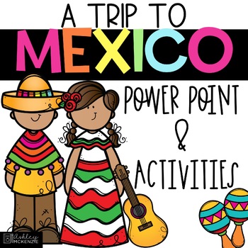
Trip to Mexico Power Point and Activities Pack | Cinco De Mayo Activities
Have a great time learning about Mexico with this fun Power Point and Activities Pack. Both PowerPoint and Google Slides versions are included. It's the perfect activity during Cinco De Mayo, the last week of school, or for some Friday fun! Your class will be introduced to the geography, language, culture, and food in Mexico. The PowerPoint is packed with colorful, real photos. And a variety of activities are included to help your students reflect on what they've learned. Be sure to read the tip
Subjects:
Grades:
K - 6th
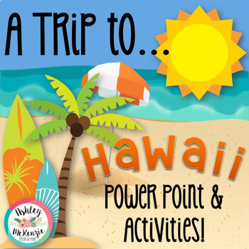
"Trip to Hawaii" Power Point & Activities Pack!
This makes for such a fantastic end of year activity! You'll have a great time learning about Hawaii with this fun Power Point and Activities Packet with your students. Read about how I take my class on this exciting adventure below....Check out other products like this!Trip to Mexico BundleTrip to Australia BundleTrip to South AmericaFREE World Travel Student PassportIncluded in this pack... (check out the preview file for a sneak peek!)-47 slide power point on Hawaii where you learn about -
Subjects:
Grades:
K - 6th
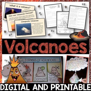
Volcanoes Complete Pack - Printables, Editable PowerPoint, Interactive Notebooks
This Volcano Unit is exploding with a variety of printables, Diagrams, Interactive notebooks, and a 100% editable PowerPoint.*Also includes digital access via Google Slides.What’s included in the pack: (Answer keys are included.) • PowerPoint Review Sheet• Volcanoes Reading Comprehension• Label the parts of a volcano • Volcano Labeled Diagram • 3 Stages of a Volcano Poster (8.5” x 11”) – Active, Dormant, and Extinct• Cinder Cone, Composite, and Shield Volcanoes Posters (1 of each)• Types of Volc
Subjects:
Grades:
3rd - 6th
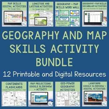
Geography + Map Skills Bundle | Maps, Continents and Oceans, Latitude Longitude
This epic bundle includes 12 different essential geography resources to help your students develop map skills and a sense of geographic awareness! The printable and digital resources in this bundle cover topics like latitude and longitude, continents, oceans, countries, map key, map projections, map distortion, landforms, and a lot more!Save over 30% by purchasing this bundle!The 12 resources included in this bundle include:Map Skills Digital Activity + Overview SlideshowLatitude and Longitude A
Grades:
5th - 8th
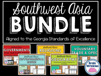
Southwest Asia (Middle East) Unit BUNDLE
This bundle contains the following Southwest Asia resource pack files – Geography of Southwest Asia, Environmental Issues, Where People Live and Work, Ethnic Groups, Prominent Religions, Governments: Israel, Saudi Arabia, and Turkey, Economies: Israel, Saudi Arabia, and Turkey, Voluntary Trade and OPEC, Factors of Economic Growth, Distribution of oil in SW Asia, Continuing Conflicts in the Middle East, Creation of Israel, and U.S. Presence in the Middle East. There are over 830 pages of notes,
Grades:
7th
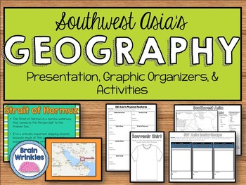
Geography of Southwest Asia (Middle East) - SS7G5
This file is a resource pack about the important political and physical features in Southwest Asia (as outlined by the Georgia Standard of Excellence– SS7G5). This lesson includes a presentation with important facts about the features and where they are located, as well as colorful images. There is also a graphic organizer for note-taking during the presentation, a quick map review game, a creative writing assignment, an Instagram-inspired activity, a map and directions for students to label cou
Grades:
7th
Also included in: Southwest Asia (Middle East) Unit BUNDLE
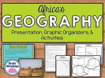
Geography of Africa (SS7G1)
This file is a resource pack about the major physical features in Africa: the Sahara, Sahel, savanna, tropical rain forest, Congo River, Niger River, Nile River, Lake Victoria, Great Rift Valley, Mt. Kilimanjaro, Atlas Mountains, and Kalahari Desert (as outlined by the Georgia Standard of Excellence – SS7G1). This lesson includes a presentation with important facts about the features and where they are located, as well as colorful images. There is also a graphic organizer for note-taking during
Grades:
7th
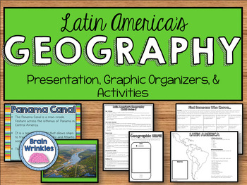
Geography of Latin America: Physical Features (SS6G1)
This file is a resource pack about the major physical features in Latin America: Amazon River, Amazon Rainforest, Caribbean Sea, Gulf of Mexico, Atlantic Ocean, Pacific Ocean, Panama Canal, Andes Mountains, Sierra Madre Mountains, and Atacama Desert (as outlined by the Georgia Standard of Excellence – SS6G1). This lesson includes a presentation with important facts about the features and where they are located, as well as colorful images. There are also several creative and interactive activitie
Subjects:
Grades:
6th
Also included in: Latin America BUNDLE
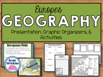
Geography of Europe: Physical Features (SS6G7a)
This file is a resource pack about the major physical features in Europe: the Danube River, Rhine River, English Channel, Mediterranean Sea, European Plain, the Alps, Pyrenees, Ural Mountains, and the Iberian Peninsula (as outlined by the Georgia Standard of Excellence – SS6G7a,b). This lesson includes a presentation with important facts about the features and where they are located, as well as colorful images. There is also a graphic organizer for note-taking during the presentation, a quick ma
Grades:
6th
Also included in: Europe Unit BUNDLE - Geography, History, Government, Economics, Etc.
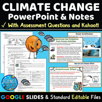
Climate Change PowerPoint with Notes, Questions, and Kahoot
⭐ ⭐ ⭐ ⭐ This Climate Change PowerPoint focuses on current greenhouse gas emissions, the greenhouse effect, global warming and climate change. This resource includes student notes, assessment questions, and custom Kahoot game! Also included are teacher notes and lesson plan. This engaging 45-slide editable Climate Change PowerPoint is accompanied by editable fill-in-the-blank-style notes, assessment questions, and a custom Kahoot! Standard printable files (MS Word and PDF) and Google Slides versi
Subjects:
Grades:
8th - 12th
NGSS:
HS-ESS3-3
, MS-ESS3-5
, HS-ESS3-1
, MS-ESS3-4
, HS-ESS3-5
...
Also included in: Climate Change Growing Discount Bundle
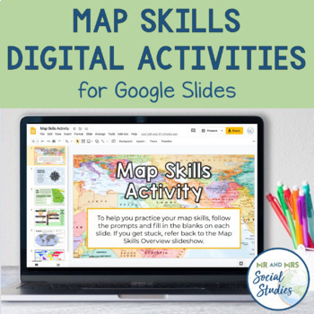
Map Skills Digital Activity and Overview Slideshow | Map Skills Middle School
If you are looking for map skills activities that you can use digitally, you are in the right place! This resource includes both a Map Skills Slideshow with information about different components of maps and a no-prep Map Skills Activity for Google Slides. All of the information is presented in an organized, colorful, and easy-to-understand way for your students.This Map Skills Google Classroom resource includes the following:Teacher Guide (PDF)Map Skills Overview Slideshow (Google Slideshow wit
Grades:
5th - 8th
"Trip to Australia" Power Point & Activities Pack!
Have a great time learning about Australia with this fun Power Point and Activities Packet! Read about how I take my class on this exciting adventure below.Check out other resources like this!Trip To Asia BundleTrip to Mexico BundleTrip to Hawaii BundleTrip to South America BundleFREE World Travel Student Passport✨Save $$ with the Continents and Countries Bundle! Get 8 different "Trip to" resources to use throughout the year, and save 30%!Included in this pack... 50 slide PowerPoint or PDF on Au
Subjects:
Grades:
1st - 6th
"Trip to South America" Power Point & Activities Pack!
Have a great time learning about South America with this fun Power Point and Activities Packet. Read about how I take my class on this exciting adventure below....✨Check out other products like this!Trip to Mexico BundleTrip to Hawaii BundleTrip to Australia BundleFREE World Travel Student PassportIncluded in this pack: -55 slide power point on South America where you learn about -the geography -the language -fun places to visit -the culture -the food -the animals14 Pages of Activiti
Subjects:
Grades:
1st - 6th
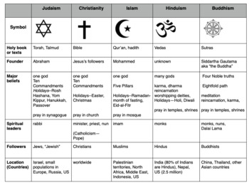
Compare World Religions Chart --Judaism, Christianity, Islam, Hinduism, Buddhism
This is a chart I use with my students to compare five major world religions-- Judaism, Christianity, Islam, Hinduism and Buddhism. It is meant to have the students learn the basics and be able to know the major aspects of all the religions. I included a blank copy and a completed version. In my social studies textbooks, there is quite a bit of info about each of these religions. This can also be done this as a group jigsaw activity. Feel free to edit it to suits your needs. Let me know if
Subjects:
Grades:
5th - 10th
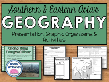
Geography of Southern & Eastern Asia (SS7G9)
This file is a resource pack about the major physical features in Southern and Eastern Asia: Ganges River, Huang He (Yellow River), Chang Jiang (Yangtze) River, Bay of Bengal, Indian Ocean, Sea of Japan, South China Sea, Yellow Sea, Gobi Desert, Taklimakan Desert, Himalayan Mountains, and Korean Peninsula (as outlined by the Georgia Standard of Excellence – SS7G9). This lesson includes a presentation with important facts about the features and where they are located, as well as colorful images.
Grades:
7th
Also included in: Southern & Eastern Asia Unit BUNDLE
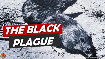
Bubonic Plague The Black Death PowerPoint Slides Outline Notes & YouTube Videos
This was recently re-mastered to be AWESOME! This PowerPoint has some fantastic visuals of the black death/bubonic plague. It also shows the spread of the disease throughout Medieval/Feudal Europe with a great map. There are several key questions that encourage discussion. This PowerPoint is sure to grab your student's attention!The last slide has 2 YouTube links from the History Channel, including a fun song that my class thought was hilarious.We also have an Oh Rats! Black Death storyboard pos
Grades:
5th - 9th
Geography: Push and Pull Factors on Human Migration (Includes lesson, PP & Game)
This lesson is easy enough for 5th graders to understand yet works well with students up to grade 12. Modifications can be made as needed. Students need to understand the differences between human migration, emigration, and immigration as well as the push and pull factors that influence migration. This lesson includes:°Introduction to get students thinking°Encourages brainstorming with graphic organizers°An interactive PowerPoint addressing: migration, immigration, emigration, push and pull fact
Grades:
5th - 12th
Also included in: BUNDLE FOR ALICE
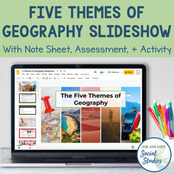
5 Themes of Geography Slideshow and Activity
Teach your students about the 5 Themes of Geography with this helpful, no-prep Google Slideshow, note sheets, assessment activity, and graphic organizers! Covering the different themes of geography with your students at the start of the year will establish a solid foundation that you can build upon throughout the school year!With this resource, you can use the 18-slide Google Slideshow (with editable text) to teach your students about the 5 Themes of Geography. This slideshow covers the definiti
Grades:
6th - 9th
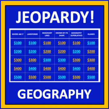
Geography Jeopardy - an interactive social studies game
Geography Jeopardy is an interactive game in which students answer geography trivia questions. This resource reflects the popular TV game show, but adaptations have been made so it can be played in the classroom. The categories are:Where Am I?LandformsImaginary LinesKnown by Its ShapeGeography SuperlativesIslandsParts of a MapCountries Starting with "I"Colorful PlacesWater! Water! Water!ContinentsFamous LandmarksWhere in the World?*SIGN UP AS A FOLLOWER OF “OFF THE PAGE” AND GET NOTIFICATIONS OF
Grades:
5th - 8th
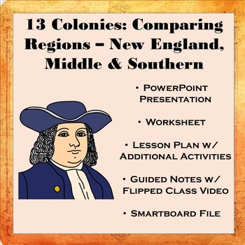
13 Colonies: Comparing Regions - New England, Middle, & Southern Colonies
13 Colonies: Comparing the Regions – New England, Middle & Southern ColoniesThis lesson teaches how the three regions of the 13 Colonies differed from one another: New England, the Middle Colonies, and the Southern Colonies. Students will learn how the climate and geography of the three colonial regions impacted the economic as well as the social lives of colonists in the three regions of the 13 Colonies. Students will learn how the New England colonists had to look to different types of rev
Subjects:
Grades:
5th - 11th
Also included in: Early US History Bundle: 1492 - Civil War
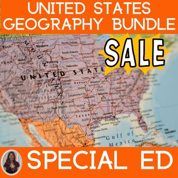
US Geography Activities 5 Regions of the United States Special Education
United States Geography Unit covers the 5 main regions of the United States specifically designed for students with special learning needs, especially autism. This unit on United States geography addresses the 5 regions:Northeast RegionSoutheast RegionMidwest RegionSouthwest RegionWest RegionThere are many opportunities for students to engage in repeated information on the different regions of the United States. This repetition encourages true appreciation of the geography of the United States.
Subjects:
Grades:
6th - 8th
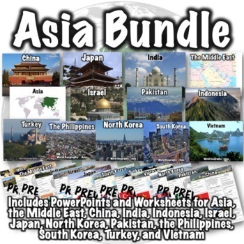
Asia Bundle
This Asia bundle contains PowerPoint/Google Slides presentations and worksheets for the continent of Asia, the Middle East region, and the countries of China, India, Indonesia, Israel, Japan, North Korea, Pakistan, the Philippines, South Korea, Thailand, Turkey, and Vietnam. PDFs, PowerPoints, and links to download versions formatted for Google Apps are included. This bundle also includes two optional 50-question assessments- one focusing on South and Southwest Asia and the other focusing on Eas
Grades:
6th - 8th
CCSS:
Australia, Oceania & New Zealand Geography Unit Bundle
An ENTIRE geography unit on Australia, Oceania & New Zealand. This unit explores the indigenous peoples, European colonization, conflicts with colonization and current economies, governments and cultures of Australia, Oceania & New Zealand. This bundle includes assessments, interactive notebook activities, web-quests and graphic organizers AND MORE. All documents are available as Google™️ Docs & Slides, and PowerPoint..This bundle includes:⭐Australia Lessons→20 slide presentation (in
Subjects:
Grades:
6th - 9th
World Geography Bundle
This bundle includes over 100 world geography products. Several products that follow a similar format to products in the bundle are available for free if you want to check them out, including:Introduction to World Geography PresentationIntroduction to World Geography WorksheetUnited States Geography WorksheetEurope Location WorksheetChina Presentation China WorksheetItaly PresentationItaly WorksheetProducts in the bundle include:Introduction to Geography:Introduction to World Geography Presentat
Subjects:
Grades:
5th - 8th
CCSS:
Showing 1-24 of 21,287 results


