4,530 results
Not grade specific geography classroom decors
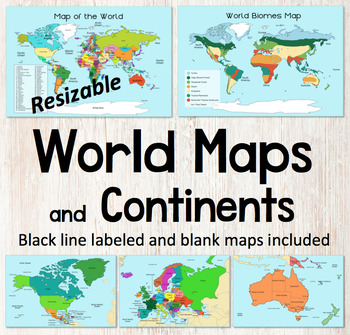
World Map and Continents Maps - World Biomes Map - USA Map - Color and Blank
This is a set of clear colored and black-line maps to use in your lesson preparation and teaching resources. Each of the twelve maps is provided in three versions1. Labeled color2. Labeled black -line3. Blank black-line The maps are orientated as rectangular landscape pages in easy to use PNG files. They feature the land on a blue water background. The images can be inserted into your documents and resized or clipped to focus on certain areas. The maps will remain clear when pulled out to 40
Subjects:
Grades:
Not Grade Specific
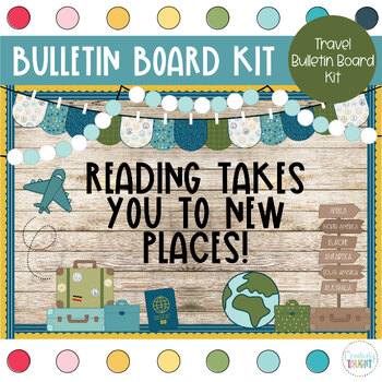
World Travel - Travel Classroom Theme Bulletin Board Kit
This bulletin board kit is a must have for your classroom! Perfectly suited for bulletin boards of all sizes, or even your door, your kiddos and parents will love seeing this happy decor!Why a digital bulletin board?Immediate deliveryNever wears out, just print again!Convenient and easy to useSo much cuter then standard in-store optionsIncluded with this purchase:3 Different Sayings in 3 Different Color Choices (Solid Black, Multicolor, & Black Outline)BannerBoard DecorAt-Home Print: PDF (8.
Grades:
Not Grade Specific
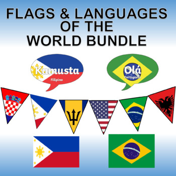
Flags and Languages of the World Bundle - Clipart, Posters and Printable Banner!
Contains five of our best products! Savings of 50%!Languages of the World - Hello in Every Language - Printable PostersThis is a set of 162 color, printable posters that showcase the word "HELLO" in all of the languages of the world. Each has its own unique flag in the background along with the name of the language itself.Flags of the World Banner / Bunting / PennantThis 203 flag collection is an excellent resource for creatively displaying world flags in your classroom.You will receive a zip f
Grades:
Not Grade Specific
Types:
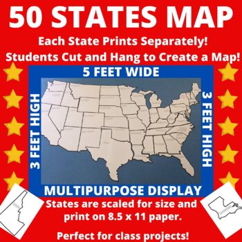
Large Printable United States Wall Map with State Names
Print the 50 states individually and assemble to create a bulletin board sized map of the United States perfect for class projects in a variety of subject areas! Who doesn't need a customizable U.S. map in their classroom?The completed map measures approximately 5 feet by 3 feet and includes blank outlines of the fifty states, each containing only the state name. States are scaled for size so that they can be neatly assembled into a large map.Ideas for Use:*Students researching the 50 states c
Subjects:
Grades:
Not Grade Specific
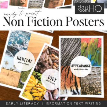
Information Text Writing Word Wall Cards + Posters - BUNDLE
Grab all three sets of our beautiful animal non-fiction word wall cards! Perfect for creating a word wall for learning to write information or informative texts. This set of over 110 different word wall cards focuses on where animals live, what they look like and what they eat. Real life photos have been used throughout to creating this gorgeous resource.Download also includes our three Information Text Posters - Habitat/Appearance/Diet, to help tie the concept together.Use our animal posters to
Subjects:
Grades:
Not Grade Specific
Types:
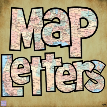
Map Print Bulletin Board Letters
There's so much you can do with this 70 piece Map Letter Clip Art Set - both digitally and in print form! They are perfect for bulletin board letters! Perfect for social studies and history classes! They're also great to liven up any resources you might create!Included in the download are:* 26 capital letter images* 26 lower case letter images* 10 number images* 8 symbol imagesAll 70 images are 300 dpi / on transparent background so you can resize them any way you'd like without losing clarity!T
Grades:
Staff, Not Grade Specific
Also included in: Bulletin Board Letters Growing Bundle
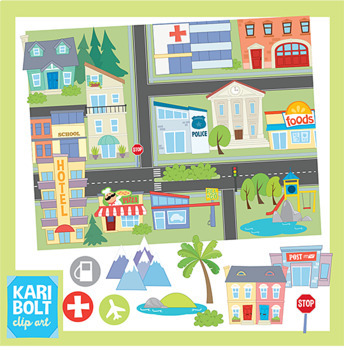
Maps and Landforms Clip Art Bundle (with Buildings)
This set combines my Buildings 2 Set, Landforms Set and Maps Set. Buildings and Landforms art has also been sized to fit onto the maps but comes in their original, large size too.BUILDINGS• Apartment • Church • Cinema • City • Gas Station • Grocery Store • Hospital • Hotel • 2 houses • Library • Park • Police Station • Post Office • Restaurant• Synagogue • School • Town Hall • Town Houses • Generic Building • Pool • Zoo• Dentist • MosqueLANDFORMS• Butte • Cave • Glacier • Hill • Island • Lake/Po
Grades:
Not Grade Specific
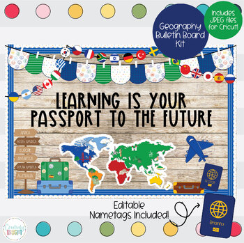
Geography - World Travel Bulletin Board Kit
This bulletin board kit is a must have for your classroom! Perfectly suited for bulletin boards of all sizes, or even your door, your kiddos and parents will love seeing this happy decor!Why a digital bulletin board?Immediate deliveryNever wears out, just print again!Convenient and easy to useSo much cuter then standard in-store optionsIncluded with this purchase:3 Different Sayings in 3 Different Color Choices (Solid Black, Multicolor, & Black Outline)BannerBoard DecorAt-Home Print: PDF (8.
Grades:
Not Grade Specific
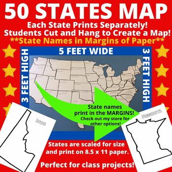
Large Printable Blank United States Wall Map Without State Names
Print the 50 states individually and assemble to create a bulletin board sized map of the United States perfect for class projects in a variety of subject areas! Who doesn't need a customizable U.S. map in their classroom?The completed map measures approximately 5 feet by 3 feet and includes blank outlines of the fifty states. Note that state names are NOT included within the state borders of this version. State names are included in the margins of the paper. Once states are cut, the state n
Subjects:
Grades:
Not Grade Specific
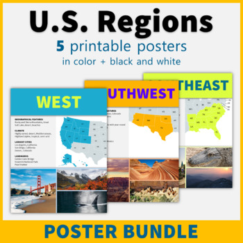
5 Regions of the United States Posters US Regions Geography Classroom Decor
This printable poster bundle of 5 posters in black and white makes it easy to learn about the regions of the United States! These posters are perfect classroom decor for social studies, American history, and geography classes!This bundle includes the following five region posters: NortheastSoutheast Midwest Southwest West Each poster includes a map and representative images, and features information about geographical features, climate, the largest cities in the region, and famous landmarks. The
Grades:
Not Grade Specific
Also included in: American History Posters Classroom Decor Value Bundle
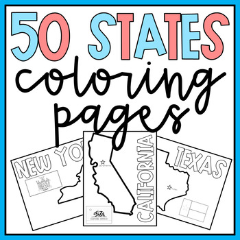
50 States Coloring Pages
Fun and simple coloring pages of each of the 50 states in the USA! Simply print and go! All 50 states included as well as 2 bonus USA pages! Perfect to accompany any social studies or geography unit!Check out the preview for a closer look! Please let me know if you have any questions or requests and I will be happy to accommodate you!For more bright and colorful resources, follow me to be the first to know about sales, new products, and freebies!Check out these other products from my store:BR
Grades:
Not Grade Specific
Types:
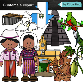
Guatemala clip art Commercial use
Guatemala clipart 10 color PNG&JPG+10 black white (outline) PNG&JPGSize one image about 8 inch by 4 inchFor personal and commercial use.You'll like it!All countries of the worldDownload the archive with the license and logo by the linkhttps://www.teacherspayteachers.com/Product/License-Credit-logo-by-Clipartino-3785741Keywords: spanish colonies, spanish colonization, clipart, sale, bundle, bw, coloring, outline, countries, symbols, map, geography, around the world, landmark, animals, nat
Subjects:
Grades:
Not Grade Specific
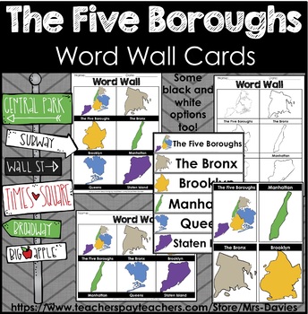
Five Boroughs of New York City Picture Word Walls
This file contains picture word wall cards of the the Five Boroughs of New York City. The Bronx, Brooklyn, Manhattan, Queens, and Staten Island. Word Walls come in different formats and orientations on letter paper 8.5 x 11". Great to accompany any unit on the five boroughs of New York City. These word wall cards focus on the shapes/ outlines of each of the boroughs. These shapes are not to scale and are hand drawn. Some options are color and black and white. See preview for more details. This f
Grades:
Not Grade Specific
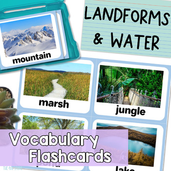
Landforms and Bodies of Water Vocabulary Flashcards with Real Pictures
Are you looking for landform and bodies of water flash cards with realistic pictures or photos for your students? Do you find clipart flashcards unappealing to your older or adult English leaners?These 28 realistic flash cards work perfectly for English language learners, speech therapy students, students with special needs, and more! Give your students REAL, context-driven learning experiences that provide plenty of opportunity for all kinds of extended conversations and discussions.All flash
Subjects:
Grades:
Not Grade Specific
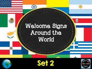
Welcome Signs - In Different Languages Set 2
This set includes 50 welcome signs with many countries, and multiple languages.This set includes: U.S.A - English, India - Hindi, India - Tamil, India - Bengali, India - Malayalam, India - Gujarati, India - Telugu, India - Kannada, India - Punjabi, India - Urdu, Iceland - Icelandic, Pakistan - Urdu, Serbia - Serbian, Mexico - Spanish, China - Mandarin, Croatia - Croatian, Israel - Hebrew, Jamaica - English, Lithuania - Lithuanian, Philippines - Filipino, Canada - English, Canada - French, Georgi
Subjects:
Grades:
Not Grade Specific
Types:
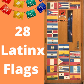
Hispanic/Latinx Heritage Month Flags
Hispanic/Latinx Heritage Month occurs annually from September 15th to October 15th. There are approximately 21 Spanish Speaking Countries globally that use Spanish as their primary language. I included any county that spoke Spanish as a co-language or had a high Spanish language influence. The countries names are typed on the flags. I will use this as a bulletin board border for Hispanic/Latinx Heritage Month, classroom decor, and plastering the flags on the classroom door. (28 Flags/Countries
Subjects:
Grades:
Not Grade Specific
Also included in: Hispanic Heritage Month Bulletin Board [Hispanic Figures & Flags]
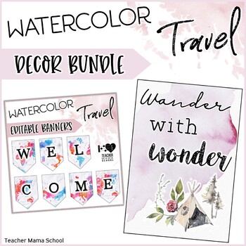
Travel Classroom Decor Bundle
Perfect for travel-themed classrooms and images that fit even the classrooms in the middle and upper grades. A bundle of classroom décor items in beautiful watercolor hues and elements. This BUNDLE includes the following items:❤ EDITABLE Banners/Pennants ❤ EDITABLE Binder Covers and Spines❤ Inspirational Quotes Posters Banners❤ EDITABLE Sterilite 3-Drawer Labels❤ EDITABLE Name Plates/Tags❤ EDITABLE Teacher Toolbox Labels❤ EDITABLE Rolling Cart Labels❤ EDITABLE Labels (Basic Pack)plus BONUS item
Grades:
Not Grade Specific
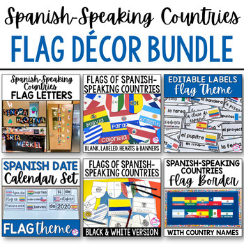
Spanish Classroom Decor Spanish Speaking Countries Flags Labels Calendar BUNDLE
This is a money-saving bundle of my most popular Spanish-speaking country flag classroom décor resources! This bundle includes everything you need to decorate your classroom with colorful and educational resources relating to the Spanish-speaking countries and their flags!The following resources are included:⭐Spanish Speaking Countries Flags Bulletin Board Border•Printable bulletin board border•Flags of 21 Spanish-speaking countries labeled in Spanish⭐ Spanish Speaking Countries Flags Letters fo
Subjects:
Grades:
Not Grade Specific
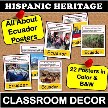
All About Ecuador Posters | Hispanic Heritage Classroom Decor Spanish Language
Looking for classroom decor to celebrate the culture and heritage of Ecuador? This Poster set includes 22 informational posters (44 total - color & black and white) that are perfect for your classroom bulletin boards, walls and hallway displays!Topics include language, dance, geography, government, food, Coat of Arms, flag, capital, and famous landmarks.Posters can be printed in color or b&w format - both versions are included! Posters can be printed as is - 8.5x11, mounted on larger con
Grades:
Not Grade Specific
Also included in: Hispanic Heritage Poster Bundle | South America Classroom Decor Spanish
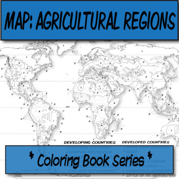
Agricultural Regions Map **Coloring Book Series**
*Geography Coloring Book Series**This blank, agricultural regions map covers the agricultural regions of the world, and is one of the major topics discussed in AP Human Geography. Compare this to Koppen's climate map for correlations.Köppen-Geiger Climate-Blank Map **Coloring Book Series**You can print this on a poster printer for a small group activity, or have these available for cathartic purposes once students are waiting for the bell to ring.This item was created using open-source maps, Ado
Grades:
Not Grade Specific
Types:
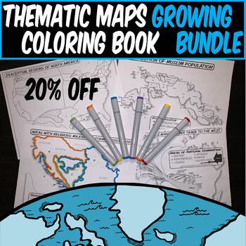
Growing bundle *THEMATIC HISTORY & GEOGRAPHY MAPS* **Coloring Book Series**
*THEMATIC HISTORY & GEOGRAPHY MAP GROWING BUNDLE*This is a collection of my thematic geography and history coloring book maps in one place. Maps are ready for teachers to print off and use in the classroom. The benefit of buying now is that future maps to this bundle are then free to you, and it's 20% off the individual list prices! Use these social studies thematic maps for:Interactive Notebooks (print multiples on a single page and cut/paste).Poster Sized prints for Bulletin BoardsCatharti
Grades:
Not Grade Specific
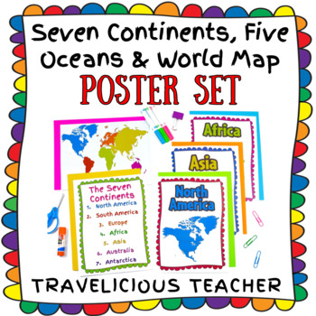
Seven Continents, Five Oceans & World Maps Poster Set
This colorful printable poster set is a great resource for introducing and referring to the world, the seven continents and the five oceans throughout the school year! The resource includes:A poster for each continentA list of the seven continents A list of the five oceansFive world maps (3 versions)World maps without labelsWorld maps with labels (continents only)World maps with labels (continents & oceans)If you love this resource, a review is greatly appreciated! Follow my store for more r
Grades:
Not Grade Specific
Types:
Also included in: Culture Classroom Decor Bundle
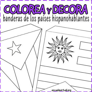
22 Flags Bunting - Spanish Speaking Countries - Coloring Activity & Class Decor
Decorate your classroom with these fun flag buntings! Perfect for any level, these three sets can be used to introduce Hispanic Heritage Month or as an extension activity to Spanish Speaking Country studies. It is appropriate for both middle and high school.You will receive:1) Horizontal, US paper-sized flag set 2 Two bunting sets: triangle and square. Each flag comes with a dotted line so students know where to fold the bunting.Measurements in inches:Flag set 1 (coloring set): 9.7 x 5.7 inFlag
Subjects:
Grades:
Not Grade Specific
Also included in: BUNDLE Spanish Speaking Countries Activities for HHM and cultura diaria
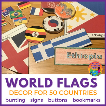
Flags of the World Printables
Bunting, bookmarks, signs, labels, and buttons! Go global with this ready-to-print World Flags Decor pack. Great for units of study, classroom themes, party decorations, student groupings, labeling resources, and more! Included are 50 flags of the world in a variety of formats:Triangle Bunting (labeled and unlabeled) for hanging across a wall, down a hallway, or around a table. Large Signs (labeled and unlabeled) for table signs, centers, or displays.Toothpick Signs (labeled and unlabeled) for
Grades:
Not Grade Specific
Showing 1-24 of 4,530 results


