517 results
4th grade geography resources on sale
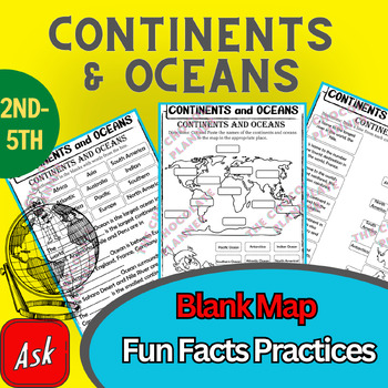
Continents And Oceans | Maps & Globes 7 Continets & Oceans | Facts Activities
Learning about continents and oceans on a map is a great way to engage students and help them remember all seven continents and major oceans in geography. This resource provides tons of practice on maps to help your kids identify the continents and oceans, as well as learn fun new information about each continent and ocean.The facts about continents and oceans are designed in different interactive formats to help your kids engage and have fun while completing them.As there are many questions reg
Subjects:
Grades:
2nd - 5th
Types:
Mapping Skills with Google Earth: Latitude, Longitude and Time Zones Gr. 3-5
This is the chapter slice "Latitude, Longitude and Time Zones" from the full lesson plan "Mapping Skills with Google Earth"About the FULL RESOURCE:Students will learn in-depth how to read and create maps with our engaging resource designed for students in grades three to five. Students will expand their knowledge of the elements on a map by exploring the lines of latitude, longitude and time zones. Then, students will learn about geographical and cultural features by exploring topographic and ch
Subjects:
Grades:
3rd - 5th
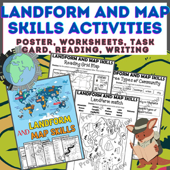
Landform & Map Skills Activity (Poster, Worksheets, Task card, Reading, Writing
Let's spice up your landform and map skills lessons and make learning super fun for your second, third, and fourth-grade students. This Landform & Map Skills Activity (Poster, Worksheets, Task card, Reading, Writing resource covers cool topics like maps, globes, continents, oceans, landforms, suburban, urban, rural areas, directions, and more!The best part? You can use these map skills and landform activities during whole group instruction, independent work, or center time. It's all about fl
Grades:
3rd - 5th
Types:
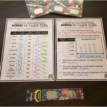
SOLAR ECLIPSE (MATH, SCIENCE, SS)
Are you looking for a fun activity way to teach about solar eclipses?! This will be perfect for you! This activity integrates Social Studies, Science, and MATH!August 2017 ECLIPSE MAGNITUDES: Across the United States- Students look at a map and determine the states of each city listed on the table.- Next, they convert each percent (magnitude) to a fraction.- Then they simplify the fractions to lowest terms.- Finally the students create a line plot using the percent data and answer questions!I al
Subjects:
Grades:
4th - 6th
Types:
4th Grade Social Studies Alive! Regions of Our Country - Chapters 1 - 5 Set 1
**SAVE BIG BUYING SETS!** Enclosed you will find the first 5 chapters of 4th Grade Social Studies Alive! Region's of Our Country Task Cards. There are 24 multiple choice task cards in each set. Buy now and save BIG!****************************************************************************************************************Included you will find:Discovering the Social Sciences Ch. 1 Task Cards History Alive!Exploring Regions of the U.S, Chapter 2 Task Cards - History Alive!The Peopling of the
Grades:
4th
Types:
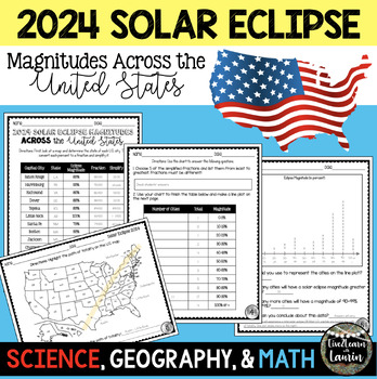
2024 SOLAR ECLIPSE MAGNITUDES ACROSS UNITED STATES - STATE CAPITALS
Are you looking for a fun activity on Solar Eclipse Day that is not busy work? This Solar Eclipse Activity integrates Science, Geography and MATH! Students handle REAL and RAW DATA about the magnitudes (for the April 8, 2024) for each state capital across the United States all while ... converting percents to fractionssimplifying fractionsordering fractionsmaking line plotsanalyzing datausing mapsreviewing state abbreviationsThis is geared towards 4th grade Math standards, but would make great p
Subjects:
Grades:
4th - 8th
Types:
Country Research Project Central America and The Caribbean
Our engaging Country Research Project Central America and the Caribbean is perfect for a country study in the classroom. This resource includes comprehensive graphic organizers to help students structure their findings effectively. Perfect for fostering critical thinking and in-depth exploration of these vibrant regions.This project greatly facilitates differentiated instruction in the classroom by offering flexibility in assignment options. Teachers can choose to have students complete all four
Subjects:
Grades:
3rd - 9th
Also included in: Countries of the World Research Projects BUNDLE
4th Grade Social Studies Alive! Regions of Our Country - Chapters 6 - 10 Set 2
**SAVE BIG BUYING SETS!** Enclosed you will find the first 5 chapters of 4th Grade Social Studies Alive! Region's of Our Country Task Cards. There are 24 multiple choice task cards in each set. Buy now and save BIG!****************************************************************************************************************Included you will find:A Boat and Bus Tour of the Southeast Ch. 6 Task Cards - History Alive!The Effects of Geography on Life in the Southeast Ch. 7 Task CardsA Crop Duster
Grades:
4th
Types:
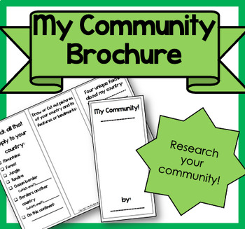
My Community Brochure!
Product Information: This is a printable brochure to supplement any Community Unit or lesson. For this brochure, students will need to research the following facts about their community:PopulationYear foundedRestaurants, shopping, attractionsSchools, libraries, parksRural, Suburban, UrbanNatural features (lake, mountains, river, etc.)3 unique facts about their communityStudents can draw, write facts or cut out pictures to fill their brochure. Creativity is encouraged! It can be used as homewor
Subjects:
Grades:
2nd - 5th
Types:
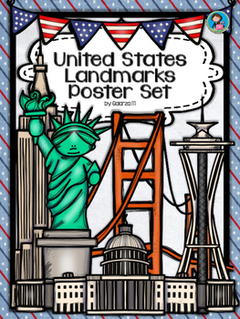
United States Landmarks Facts & Poster Set
If you are looking to improve your students skills in Geography here is the resource you need. I had so much fun researching these Landmarks and sparkle my skills also with the new facts on the most famous landmarks of the United States. Lots of information, but cool things you can use in class. Here is a set of Posters with their Fact Sheet. You can print it on card stock with double sided with the facts or separated to create your own activities for your students. The will have fun with ge
Grades:
PreK - 12th, Higher Education, Adult Education, Staff
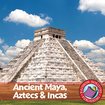
Ancient Maya, Aztecs & Incas Gr. 4-6
This thematic, integrated unit about the Mayas, Aztecs, and Incas will provide both the teacher and the students with a broad understanding of the topic.
About this Resource:
The unit starts off with core teaching lessons to build a base for knowledge, followed by student worksheets that compliment the core lessons. Optional lessons are included to add a degree of flexibility and possible enrichment activities to the lesson. The unit finishes off with a major project that allows students to de
Subjects:
Grades:
4th - 6th
Types:
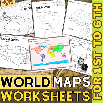
World Map with Countries | Continents and Oceans Blank Map | 1st to 12th Grade
These printable maps will be useful whether you are studying geography, world history, countries around the world, or you are just trying to show your kids the route you are taking on your next vacation! For kids learning about states, we've included a printable map of the world, as well as maps of North and South America, Europe, Asia, Australia, Africa, and Antarctica. Furthermore, the world map printable set comprises labeled and blank options for printing. To print the printable map PDF file
Grades:
K - 12th
Types:
Human Geography Bingo: A Beginning of the Year Activity
Fun for All Ages!What a great and fun way to have your students not only get to know their classmates but also begin to understand the concept of geography! This is an easy-to-prepare, back-to-school beginning-of-the-year geography activity that can be implemented in geography, world history, or other social studies classes. Your students will enjoy the interaction with other students as they learn about how geography surrounds them.Provided in Word and PDF versions. To download, a zip file read
Subjects:
Grades:
4th - 12th
Types:
Country Research Project North America
Our engaging Country Research Project North America is perfect for a country study in the classroom. This resource includes comprehensive graphic organizers to help students structure their findings effectively. Perfect for fostering critical thinking and in-depth exploration of this vibrant region.This project greatly facilitates differentiated instruction in the classroom by offering flexibility in assignment options. Teachers can choose to have students complete all four graphic organizers or
Subjects:
Grades:
3rd - 9th
Also included in: Countries of the World Research Projects BUNDLE
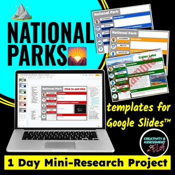
National Parks Earth Day Activity 1 Day Mini-Research Google Slides™ Project
Teach research skills with a smaller, manageable topic. This product is great for geography, Social Studies, U.S. History, or even ELA. Encourage curiosity with your students and allow them to explore the National Park of their choice.This product includes 9 slides:1 example slide1 directions slide (editable)1 rubric slide (editable)1 topic list slide1 slide with a link to a Google Sheet sign-up5 Google Slides templates (to give students color choice)The Google Slides templates can be edited in
Subjects:
Grades:
4th - 8th
Types:
Kids in Other Countries Lessons: Free Video Series: Distance Learning
Supporting Inclusive Resources to create Inclusive Classrooms for Elementary School ChildrenOne of my best discoveries this year, is the FREE on-line video series: Kids in Other Countries This free video series has been instrumental in developing global awareness while creating an atmosphere of appreciation within my grade two class. My goal in creating this resource was to support the video series by having students, reflect, connect, challenge and transform their thinking about social standar
Subjects:
Grades:
2nd - 6th
Types:
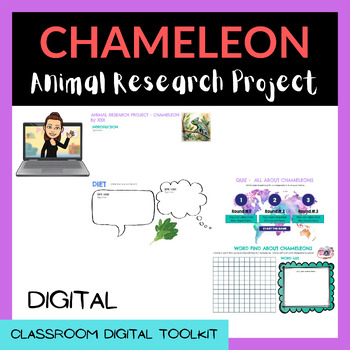
ANIMAL RESEARCH PROJECTS (Google Slides™) - GROWING BUNDLE! 22 Animals included!
ANIMAL RESEARCH PROJECTS (Google Slides™), ready to be uploaded to Google Classroom!Students love to research and use their digital skills to learn about animals.FEATURING Beautiful Graphics!Students will research and learn:Write an introduction to their animal reportWrite a description of the animal (Colour, Species, Size etc)DietWhere do they live?HabitatAdaptationsClassification of the animalImage slideFacts about the animalCreate a quiz about their animal for a classmate or groupCreate a wor
Subjects:
Grades:
3rd - 5th
Mapping Skills with Google Earth™ Gr. 3-5
Extend the basic knowledge of map reading to give your elementary students a thorough understanding of maps. Our resource allows students to learn in-depth how to read and create maps.About this Resource: Explore all the elements on a map, such as scale, index, grid system, and surrounding area. Take your understanding of a grid system one step further by examining lines of latitude and longitude. Compare the different times zones found in your country. Learn about topographic maps before explo
Grades:
3rd - 5th
Types:
Also included in: Mapping Skills with Google Earth BIG BOOK - BUNDLE
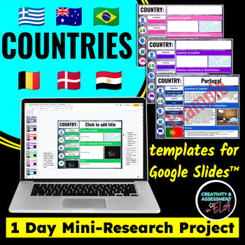
Country Countries Report 1 Day Mini Research Lesson for Google Slides™ Project
Teach research skills with this smaller, manageable topic. Students research their chosen country's population, currency, languages spoken, government system, flag, global location, capital, famous landmarks and destinationsThis product is great for geography, World History, or even ELA. Encourage curiosity with your students and allow them to explore the country or countries of their choice.This product includes 9 slides:1 example slide1 directions slide (editable)1 rubric slide (editable)6 Goo
Grades:
4th - 10th
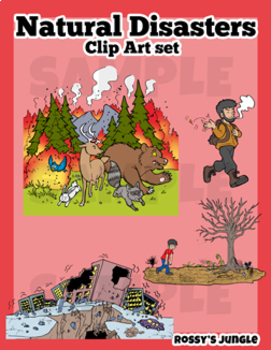
Natural Disasters Clip Art Set
This is an image bundle that includes various natural disasters and other visual help image files.
They come in PNG Format. Both colored and black and white files.
Perfect for: storytelling, science projects, and much more!
For personal and TpT project use.
23 color+27 black and white= 50 files in total
Contents:
Avalanche
Skiiers (the same characters featured in the avalanche image, but larger)
Crater (meteor impact)
Meteor
Cyclone/hurricane/typhoon
Storm or Tropical Storm
Drought
Earthquake
Grades:
3rd - 6th
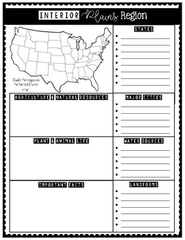
7 Natural Regions of the United States (Research Activity Posters)
These 7 Natural Regions Posters are perfect for engaging students in an interactive research activity!
Students will enjoy shading their assigned region on the U.S. map and writing research notes in the boxes.
Have students use this to write a research paper and keep facts organized.
These 7 natural regions are aligned with the USA Studies curriculum.
Natural Regions included:
1. Pacific Coastal Plains
2. Western Plateau
3. Rocky Mountains
4. Interior Plains
5. Atlantic Coastal Plains
6. A
Grades:
3rd - 5th
Types:
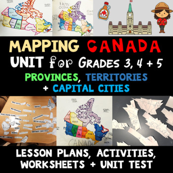
Mapping Canada Unit - Provinces, Territories + Capital Cities
There is a full preview of this resource. See the entire unit before you buy. This is a ten lesson unit focused on Canadian mapping skills. There is an emphasis on learning the names of the provinces, territories and capital cities. Students also will learn cardinal directions, how to find a location on a map, create directions and a route from one place to another, and how to use a navigation program to follow directions.The overall learning objectives of this unit are for students to be able t
Subjects:
Grades:
3rd - 5th
Types:
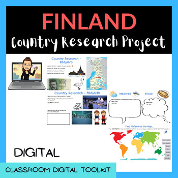
COUNTRY RESEARCH SLIDES - EUROPE BUNDLE (22 Countries Included!) Google Slides™
Country Research Project - Google Slides, ready to be uploaded to Google Classroom!Students love to research and use their digital skills to learn about the countries of the world.Students will research and learn:How to find a capital city on a mapThe land area of the countrySize of the populationLanguage/s spoken in that countryCurrency of the countryLandmarks of the countryFlag of the countryWeatherTraditional FoodWhat continent the country is located onResearch a famous person (or people) fro
Subjects:
Grades:
3rd - 5th
Exploring Regions of the U.S. Ch. 2 Task Cards - History Alive!
This resource goes along with the 4th Grade TCi Social Studies Alive Textbook on Regions of Our Country. Enclosed you will find 24 multiple choice task cards. These task cards cover key vocabulary and important concepts about the regions of the U.S.. These cards are best used with the student textbook, but can also be used alone as well. If using with the textbook, I suggest that you have students write the page numbers where they found the information.Also included, you will find a student reco
Grades:
4th
Types:
Showing 1-24 of 517 results


