3,548 results
Geography resources on sale
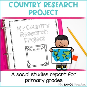
Country Research Project | A Social Studies Report
Make learning about other countries exciting with this easy to use research writing unit for little learners. Learn all about other cultures around the world with these open-ended research pages. This unit covers: geography timelinesthe flag important placesfoodfast factsjobsimportant holidays and traditionsgoods and servicesThis is a great prep tool for your school or classroom's multicultural or diversity night, too! Includes both American and British English spellings. ***********************
Grades:
1st - 3rd
Types:
Geography: Push and Pull Factors on Human Migration (Includes lesson, PP & Game)
This lesson is easy enough for 5th graders to understand yet works well with students up to grade 12. Modifications can be made as needed. Students need to understand the differences between human migration, emigration, and immigration as well as the push and pull factors that influence migration. This lesson includes:°Introduction to get students thinking°Encourages brainstorming with graphic organizers°An interactive PowerPoint addressing: migration, immigration, emigration, push and pull fact
Grades:
5th - 12th
Also included in: BUNDLE FOR ALICE
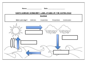
Earth Science worksheet: Label stages of the water cycle
Earth Science worksheet: Label stages of the water cycle2 VERSIONS OF WORKSHEET (Worksheet with a word bank & Worksheet with no word bank)Students have to label the stages of water cycle by looking at the diagram (Evaporation, Collection, Precipitation and Condensation)Students can color in the pictures they are doneWorksheet aimed at higher kindergarten/lower primary levelAnswer Key includedBoth PDF and Editable Word Versions included within the ZIP file
Subjects:
Grades:
K - 6th
Types:
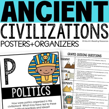
Ancient Civilizations GRAPES Posters Ancient Greece Ancient Rome Ancient China
Help your students learn and organize info about ancient civilizations with these G.R.A.P.E.S. posters, guiding questions, and graphic organizers! The GRAPES Ancient Civilizations Poster and Graphic Organizer Set is an easy acronym to organize information for the basic traits of ancient civilizations. G.R.A.P.E.S. is an acronym for:G- GeographyR- ReligionA- AchievementsP- PoliticsE- EconomicsS- Social StructureGRAPES is an effective way to learn and organize information about different civilizat
Grades:
6th - 8th
Monster Mash:A Study of Mystical Monsters of The World (Geography Halloween)
Need a fun and engaging Halloween lesson and activity for 6th grade through high school? Why not take a look at monsters or cryptids throughout the world? Students will love this Halloween activity as they are already in the holiday mood and will learn about the beliefs, practices, values, and customs of other cultures around the world when looking at monsters and cryptids. Cryptids are animals/creatures that have been suggested to exist now and throughout history, but have or have not been pro
Subjects:
Grades:
6th - 12th, Adult Education
Also included in: BUNDLE FOR ALICE
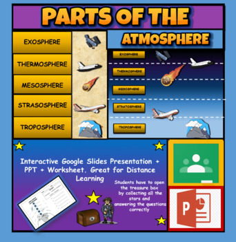
Layers Of The Atmosphere: Interactive Google Slides + PPT Version + Worksheet
Layers Of The Atmosphere: Interactive Google Slides + PPT + Worksheet (Distance Learning)Interactive presentation & quiz on Layers of the atmosphere. Please view the powerpoint previewINTERACTIVE GOOGLE SLIDES/POWER POINT PRESENTATION on layers of the atmosphere. It can be used for distance learning and google classroom or within the classroom.Once downloaded: Please view the GOOGLE SLIDES/POWERPOINT IN 'PRESENT ▶️' modeWorksheet also included in ZIP file 'Parts of the atmosphere' .These are
Subjects:
Grades:
3rd - 8th
Getting To Know You Through Geography: A Beginning of The Year Carousel Activity
Geography teachers, are you always looking for a great Getting To Know You back-to-school geography activity for the beginning of the year for all ages? This activity will encourage your students to become familiar with their classmates as they work in groups and rotate through various stations. What a great introduction to basic geography skills such as graphs, charts, maps, and the concept of culture. It truly teaches geography skills all the while allowing students to collaborate, have fun, a
Grades:
5th - 12th
Types:
Also included in: Bundle for T. Wilson (25 Geography Lessons)
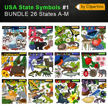
USA state symbols Clip Art BUNDLE-part #1/ Commercial use
USA state symbols clipart BUNDLE-part #1 includes 26 states A-MAlabama-Alaska-Arizona-Arkansas-California-Colorado-Connecticut-Delaware-Florida-Georgia-Hawaii-Idaho-Illinois -Indiana-Iowa-Kansas-Kentucky-Louisiana-Maine-Maryland-Massachusetts-Michigan-Minnesota-Mississippi-Missouri-Montana!!!!! USA state symbols clipart BUNDLE-part #2Size one image about 7 inch by 4 inch PNG+JPG & black-white filesFor personal and commercial use.* State flags will soon be available for free. Subscribe to not
Grades:
Not Grade Specific
Middle East Webquest
Students will gain basic knowledge about life in the Middle East by completing an internet based worksheet. The following topics are covered in this webquest:The geography of Middle EastThe modern history of the Middle EastThe people of the Middle EastThe webquest contains 50 questions and is a great introduction to a unit on Middle East. The webquest will take most students 30 to 50 minutes depending on age. An answer sheet is included for the teacher. Word and PDF versions are included. The i
Subjects:
Grades:
5th - 12th
Types:
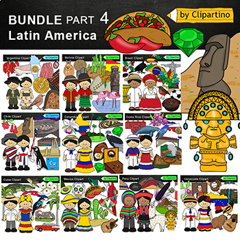
Latin America Countries Clip Art Bundle -PART 4 /Brazil /Mexico /Cuba /Argentina
Latin America Countries Clip Art Bundle - PART 4 (South America/Central America) Clipart Countries symbols : Argentina * Bolivia * Brazil * Chile * Columbia* Costa Rica * Cuba * Mexico * Peru * Venezuela clipart color + black white more than 100 filesYou'll like it!All countries of the worldSize one image about 8 inch by 4 inchFor personal and commercial use.Download the archive with the license and logo by the linkhttps://www.teacherspayteachers.com/Product/License-Credit-logo-by-Clipartino-3
Grades:
Not Grade Specific
Middle School Geography: Human Population Density Map Skills
Looking for a great lesson that encourages collaboration and hands-on experience in creating and making maps, graphs, and/or charts? Or do you need a simple lesson to introduce the concept of population density to your students? This lesson includes videos, map presentations, and more to teach students the meaning behind "population density". Students will team up to work collaboratively to create a map, graph, or chart depicting the population density of the 7 continents. In addition, they wil
Grades:
7th - 12th
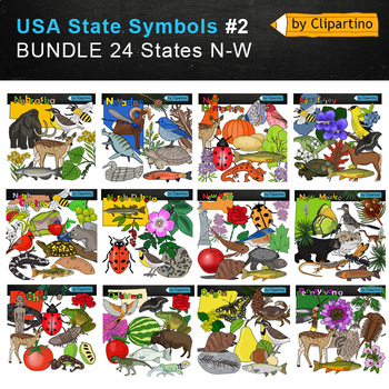
USA state symbols Clip Art BUNDLE-part #2 Commercial use
USA state symbols clipart BUNDLE-part #2 includes 24 states N-WNebraska-Nevada-New Hampshire-New Jersey-New Mexico-New York-North Carolina-North Dakota-Ohio-Oklahoma-Oregon-Pennsylvania-Rhode island -South Carolina-South Dakota-Tennessee-Texas-Utah-Vermont-Virginia-Washington-West Virginia-Wisconsin-Wyoming!!!!! USA state symbols clipart BUNDLE-part #1Size one image about 7 inch by 4 inch PNG+JPG & black-white filesFor personal and commercial use.* State flags will soon be available for free
Grades:
Not Grade Specific
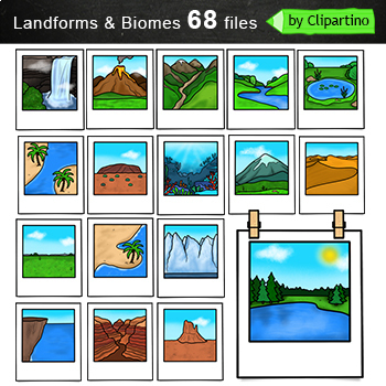
Biomes And Landforms Clip Art Commercial use
Biomes And Landforms Clip Art Bundle includes 68 files (34 color files PNG/JPG & 34 black white files. ) + 68 files NO FRAMESize one file about 6 inch 300 dpi. For personal and commercial use.Citycountrysidedesert mountainsocean pond rainforest savanna tundravolcano polar desertbay chaparral grassland taiga boreal foresttemperate deciduous forestbutte canyon cliff deltas dunes fjord glaciers hillsIsland Isthmus lake river peninsulas plains plateaus strait valleys waterfallYou will like other
Subjects:
Grades:
PreK - 6th, Staff
Geography—World Religions: A Comparison Study on Judaism, Christianity, & Islam
An engaging and interesting comparison of the three great present-day monotheistic world religions: Judaism, Christianity, and Islam. (INCLUDES EASEL ACTIVITY)Bundle & Save Here World Religions BundleTHIS LESSON INCLUDES:World Religions Chart (Student Notes)World Religions Chart (Teacher Guide)Venn Diagram (Student Notes)Venn Diagram (Teacher Guide)Aesthetic & Interesting Informational Handouts on Judaism, Christianity, and IslamTeacher Instructions (Lesson detail Introduction and Proced
Grades:
5th - 12th, Higher Education, Adult Education
Also included in: Bundle for Katrina- World Religions
Continents And Oceans | Maps & Globes 7 Continets & Oceans | Facts Activities
Learning about continents and oceans on a map is a great way to engage students and help them remember all seven continents and major oceans in geography. This resource provides tons of practice on maps to help your kids identify the continents and oceans, as well as learn fun new information about each continent and ocean.The facts about continents and oceans are designed in different interactive formats to help your kids engage and have fun while completing them.As there are many questions reg
Subjects:
Grades:
2nd - 5th
Types:
Landform & Map Skills Activity (Poster, Worksheets, Task card, Reading, Writing
Let's spice up your landform and map skills lessons and make learning super fun for your second, third, and fourth-grade students. This Landform & Map Skills Activity (Poster, Worksheets, Task card, Reading, Writing resource covers cool topics like maps, globes, continents, oceans, landforms, suburban, urban, rural areas, directions, and more!The best part? You can use these map skills and landform activities during whole group instruction, independent work, or center time. It's all about fl
Grades:
3rd - 5th
Types:
Urbanization and Population Geography Webquest
Urbanization and Population Geography WebquestThis webquest uses a very student friendly website that covers the impact of human population growth on Earth. The website is filled with great facts and visuals! Please check out the website by clicking on the link below:Click here to view the website.The webquest contains 34 questions and is a great way to introduce a geography unit or to have your students go into more depth on population growth and modern cities. An answer sheet is included for
Subjects:
Grades:
6th - 12th
Types:
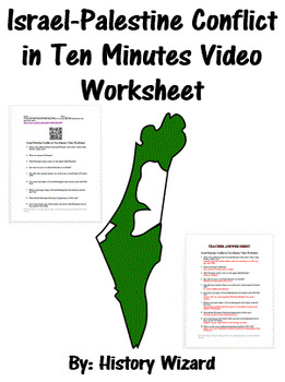
Israel-Palestine Conflict in Ten Minutes Video Worksheet
This video worksheet allows students learn about the origins and the continued conflict between Israel and Palestine. The video clip is only ten minutes long, but it is packed full of information that will keep your students engaged.This video worksheet works great as a “Do Now Activity” or as a complement to any lecture or lesson plan on current events, terrorism, or the Middle East. The worksheet helps students understand the current conflict in the Middle East. The video is great for visual l
Grades:
7th - 12th
Types:
Geography: Push and Pull Factors on Human Migration (GAME ONLY)
This lesson is easy enough for 5th graders to understand yet works well with students up to grade 12. Modifications can be made as needed. Students need to understand the differences between human migration, emigration, and immigration as well as the push and pull factors that influence migration. This card game includes two play options, encouraging students to evaluate scenarios of migration regarding push and pull factors. Students will love this interactive game!This is the game that is incl
Grades:
5th - 12th
Types:
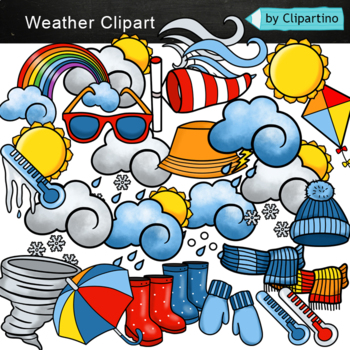
Weather Clip art Commercial use
Weather Clipart For personal and commercial use Download preview with free clipart inside license included!You will receive 35 COLOR files PNG & JPG + 26 BLACK WHITE files PNG & JPG.Size 1 file about 5 inch.Subscribe and don't miss the next freebie!Keywords: climate, weather, icons, clip art, graphics, coloring, sale, umbrella, sun, clouds, snow, rain, rainbow, hail, wind, hurricane
Subjects:
Grades:
PreK - 5th
Colonial America Activity for 13 Colonies; 13 Colonies Activities
13 Colonies {New England, Middle, Southern} Scavenger Hunt Activity: A content-rich and fun way to engage students and introduce your unit! ♥You have to see the preview! OVER 600 sold and LOVED!♥This is part of my Colonies BUNDLE {3 Activities!} Let intermediate-middle grade students get up and MOVE while you introduce them to Colonial America!! In this activity, they will complete a scavenger hunt to find important information about the 13 original colonies, the New England, Middle, and Souther
Grades:
4th - 7th
Types:
Also included in: 13 Colonies Activity BUNDLE for Colonial America
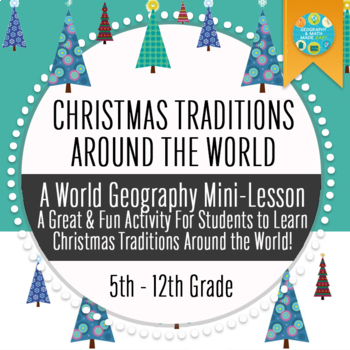
Geography: Christmas Traditions Around The World Trivia Game
This lesson is easy enough for 5th graders to understand yet works well with students up to 12th graders. Modifications can be made as needed. A great & fun activity social studies activity to teach students about Christmas traditions around the world! Students will have a wonderful time working in peer cooperative groups to find answers to trivia questions as they earn points toward prizes! Need a quick and fun activity for the day before the holiday break? This mini-lesson is a great, moti
Grades:
5th - 10th
Types:
Also included in: Build A Bundle for Georgianne B
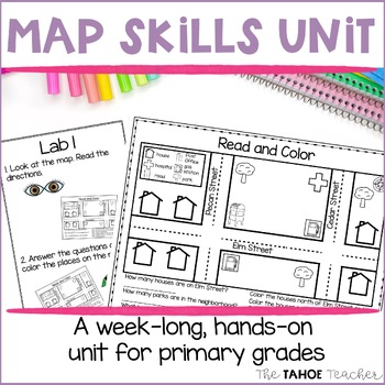
Map Skills Unit | Reading Maps Activities for Primary Grades
Get your students reading and making maps with these fun center rotations. This unit includes full lesson plans and student task cards with visual supports. It is designed to be used as a week long, centers-based exploration unit, but can also be used in whole class lessons. Monday: Build schema, read a book about maps, and set the stage for the week by creating a Me on the Map book. Tuesday-Thursday: Students will visit a series of centers, investigating maps by building maps, reading them, pla
Grades:
1st - 3rd
Types:
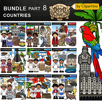
Countries Clip Art Bundle PART 8/ Uruguay/ Guatemala/ Puerto Rico/ Panama
Countries Clip Art Bundle- PART 8.Uruguay * Puerto Rico * Panama * Nicaragua * Honduras * Guatemala * Gibraltar * Equatorial Guinea * El Salvador clipart.Size one image about 8 inch by 4 inchFor personal and commercial use.You'll like it!All countries of the worldDownload the archive with the license and logo by the linkhttps://www.teacherspayteachers.com/Product/License-Credit-logo-by-Clipartino-3785741Keywords: spanish colonies, spanish colonization, clipart, sale, bundle, bw, coloring, outli
Grades:
Not Grade Specific
Showing 1-24 of 3,548 results


