238 results
Kindergarten geography resources on sale
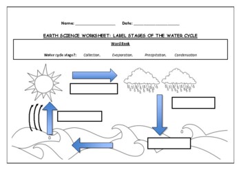
Earth Science worksheet: Label stages of the water cycle
Earth Science worksheet: Label stages of the water cycle2 VERSIONS OF WORKSHEET (Worksheet with a word bank & Worksheet with no word bank)Students have to label the stages of water cycle by looking at the diagram (Evaporation, Collection, Precipitation and Condensation)Students can color in the pictures they are doneWorksheet aimed at higher kindergarten/lower primary levelAnswer Key includedBoth PDF and Editable Word Versions included within the ZIP file
Subjects:
Grades:
K - 6th
Types:
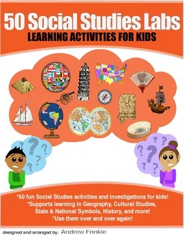
50 Social Studies Labs - Geography History Cultural Studies Economics Government
PREVIEW AVAILABLE!LIKE WHAT YOU SEE? CHECK OUT OTHER STEM RESOURCES IN MY SHOP!FROM THE CREATOR OF 50 STEM LABS & 50 MORE STEM LABS comes this collection of 50 Social Studies Activities for kids. Recommended for grades K to 6 and up! Each one has a snappy title, a brief set of instructions, recommended materials list, and space for notes. These are very adjustable for your classroom, home, or homeschool needs. Do projects for concepts like: Geography, Cultural Studies, Economics, History, G
Grades:
K - 8th
Types:
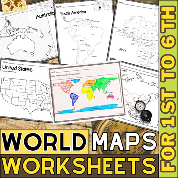
World Map with Countries | Continents and Oceans Blank Map | 1st to 12th Grade
These printable maps will be useful whether you are studying geography, world history, countries around the world, or you are just trying to show your kids the route you are taking on your next vacation! For kids learning about states, we've included a printable map of the world, as well as maps of North and South America, Europe, Asia, Australia, Africa, and Antarctica. Furthermore, the world map printable set comprises labeled and blank options for printing. To print the printable map PDF file
Grades:
K - 12th
Types:
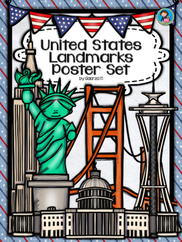
United States Landmarks Facts & Poster Set
If you are looking to improve your students skills in Geography here is the resource you need. I had so much fun researching these Landmarks and sparkle my skills also with the new facts on the most famous landmarks of the United States. Lots of information, but cool things you can use in class. Here is a set of Posters with their Fact Sheet. You can print it on card stock with double sided with the facts or separated to create your own activities for your students. The will have fun with ge
Grades:
PreK - 12th, Higher Education, Adult Education, Staff
Mapping Skills with Google Earth: How to Read a Map Gr. PK-2
This is the chapter slice "How to Read a Map" from the full lesson plan "Mapping Skills with Google Earth"About the FULL RESOURCE:Teach your students the basics of map reading with our engaging resource designed for students in grades prekindergarten to two. Start with the elements found on a map, such as symbols, legends and the compass rose. Then, have your students apply what they’ve learned by mapping their classroom and route to school. Move on to the Great Lakes of North America and the se
Subjects:
Grades:
PreK - 2nd
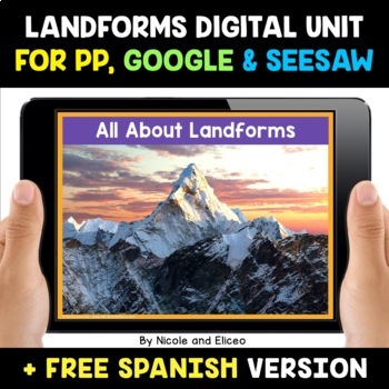
Landform Digital Activities for Google and Seesaw + FREE Spanish
Engage your students with these interactive landform activities. This digital landform unit includes 12 illustrated vocabulary terms with kid-friendly definitions, 4 informational nonfiction texts and a variety of interactive activities. It is available in PowerPoint, Google Slides and in Seesaw. It has been preloaded into Google Drive for teachers who use Google Apps or Google Classroom. It has also been preloaded into Seesaw as an interactive activity. You can use it on any device with these s
Subjects:
Grades:
K - 2nd
Also included in: Social Studies Activities for Google and Seesaw Bundle + FREE Spanish
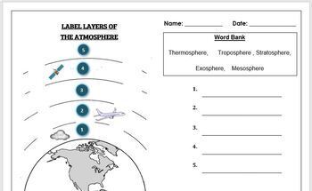
Earth Science Worksheet: Label the layers of the Atmosphere
Earth Science Worksheet: Label the layers of the atmosphereStudents have to label the layers of the atmosphere by looking at the numbers Students can color in the worksheet once they are doneWorksheet aimed at primary level/ high school levelAnswer key included on page 2
Subjects:
Grades:
K - 8th
Types:
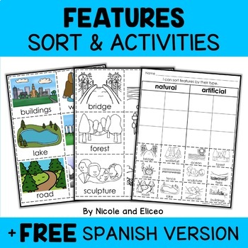
Physical Features Sort Activities + FREE Spanish
Boost engagement with this fun, interactive resource about physical and man-made features. It includes vocabulary cards, individual and group sorting activities, graphic organizers, a coloring sheet, a word building activity, a drawing sheet and more! It works great for boosting academic vocabulary while learning and reviewing the content. This resource was created by Nikki and Nacho - previously known as Nicole and Eliceo.TEACHER-FRlENDLY FEATURESThis resource has been teacher-tested and approv
Subjects:
Grades:
PreK - 1st
Types:
Also included in: Social Studies Sort Activities Bundle + FREE Spanish
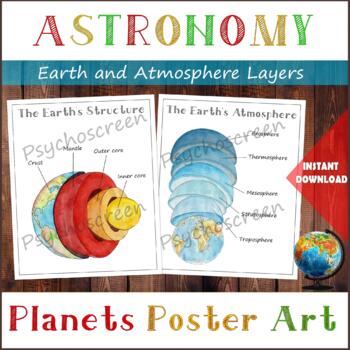
Earth Structure and The Earth's Atmosphere • Layers of the Earth • Posters
֎ ABOUT THE PRODUCT ֎Handmade watercolor print, instant download. Great material for learning about the layers of the Earth and about Atmosphere in homeschooling or in classroom. The product includes:· The Earth's Structure - poster + diagram + parts (labels)· The Earth's Atmosphere - poster + diagram + parts (labels)֎ DIGITAL DOWNLOAD ֎· PDF file in Letter size, with 5 pages. Size: Letter - 2550px x 3300px, 8.5" x 11", 21,59cm x 27,94cm. You can fit it on A4 size. Lamination extends the duratio
Subjects:
Grades:
PreK - 5th
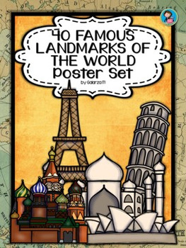
40 Famous Landmarks of the World Poster Set
If you are looking to improve your students skills in Geography here is the resource you need. I had so much fun researching these Landmarks and sparkle my skills also with the new facts on the most famous landmarks of the World. Lots of information, but cool things you can use in class. Here is a set of Posters each with a Fact Sheet. You can print it on card stock with double sided with the facts or separated to create your own activities for your students. The will have fun with geography
Grades:
PreK - 12th, Higher Education, Adult Education, Staff
Mapping Skills with Google Earth™ Gr. PK-2
Give your primary students the building blocks needed to be successful map readers. Our resource provides the basics of map reading to ensure a solid foundation is laid for further study.About this Resource: Create a treasure map using all the elements learned so far, such as cardinal directions, symbols and legend. Make a map of your classroom with a title, compass rose, legend, date, and author. Draw a route to school using North, East, South or West of certain landmarks. Explore grid lines w
Grades:
PreK - 2nd
Types:
Also included in: Mapping Skills with Google Earth BIG BOOK - BUNDLE
Destrezas cartográficas con Google Earth™: Haz un mapa del mundo Gr. PK-2
Completa tus destrezas cartográficas haciendo un mapa del mundo con este atractivo recurso. Aprende sobre los globos terráqueos, las coordenadas geográficas, y las líneas de latitud y longitud. Explora el ecuador y el Primer Meridiano, y después todos los 7 continentes y 4 océanos que componen el Mundo. Este recurso, escrito para los grados de Pre-Kindergarten a Segundo grado, está dividido en tres secciones: Un pasaje de lectura donde se aprende todo el contenido basado en el currículo, seguid
Subjects:
Grades:
PreK - 2nd
Types:
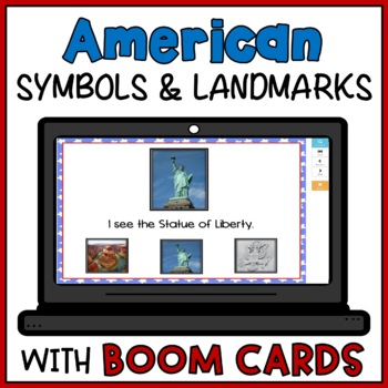
American Symbols and US Landmarks Boom Cards Easy Reader Matching Activity
Your students will enjoy learning about American symbols and landmarks with this Boom deck. All images are real photos and not clip art to make it easier for students to recognize US symbols. Not only will students learn all about American symbols and landmarks, but they will also enjoy reading this emergent reader. Students will click on a USA symbol and landmark from a field of three choices to match the photo shown. TRY FOR FREE! This BOOM deck contains 12 task cards and is to be accessed on
Subjects:
Grades:
PreK - 1st
Types:
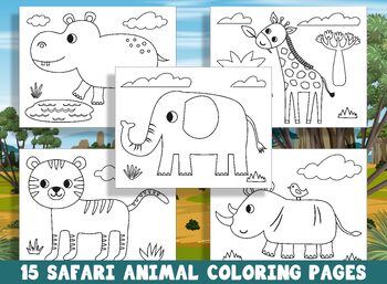
15 Safari Animal Coloring Pages for Preschool and Kindergarten, PDF File
Take a walk on the wild side with this fun safari coloring page! Your little adventurer will get to fill this scene with bright colors.Welcome to our collection of 15 Safari animal coloring pages, perfect for preschool and kindergarten kids! These pages feature a variety of exciting and educational animal designs, including elephant, lion, zebra, giraffe, rhino, monkey, leopard, hippopotamus, and many more.Not only are these coloring pages a fun way for kids to engage with these amazing creature
Subjects:
Grades:
PreK - 2nd
Types:
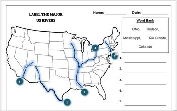
Geography worksheet: Label the Major USA Rivers
Students have to label the major USA rivers (Mississippi, Hudson, Rio Grande, Colorado, Ohio)Word bank providedWorksheet aimed at primary level/ high school levelAnswer key included on the second page
Subjects:
Grades:
K - 10th
Types:
Also included in: Geography worksheets: USA Bundle (10 worksheets, 70%+ off)
Valentines Day Love in Many Languages Bulletin Board Set
Here you have an ideal product to reinforce the geography skills, with a "Lovely touch". These Set will liven up any room or any school hall. You can even decorate a door or a quick Bulletin Board (Bunting, posters, decorative paper, borders and ready!) Also you can create a multilingual activity with your students with the black and white version, ready to color!It Includes:Children of 31 countriesNew!! Children of 31 countries coloring pages (black and white)2 Borders designsHappy Valentines
Subjects:
Grades:
PreK - 12th, Higher Education, Adult Education, Staff
Bodies of Water Digital Activities for Google and Seesaw + FREE Spanish
Engage your students with these interactive bodies of water activities. This digital bodies of water unit includes 12 illustrated vocabulary terms with kid-friendly definitions, 4 informational nonfiction texts and a variety of interactive activities. It is available in PowerPoint, Google Slides and in Seesaw. It has been preloaded into Google Drive for teachers who use Google Apps or Google Classroom. It has also been preloaded into Seesaw as an interactive activity. You can use it on any devic
Subjects:
Grades:
K - 2nd
Also included in: Social Studies Activities for Google and Seesaw Bundle + FREE Spanish
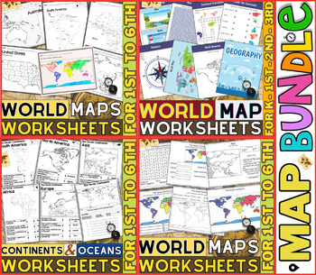
World Map Worksheets | Continents and Oceans Blank Map | 1st to 12th Grade
⭐⭐⭐⭐⭐Kids enjoy studying about the world in which they live! With the help of these entertaining printable Continents and Oceans Worksheets, they will love learning about the seven continents and the corresponding geography. For students in kindergarten, first grade, second grade, third grade, fourth grade, fifth grade and sixth grade utilize these worksheets on continents and oceans. After printing the Continents and Oceans Worksheets pdf, you can begin learning and having fun.These printable W
Grades:
PreK - 9th
Types:
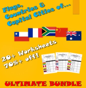
Flags, Countries and Capital Cities: Ultimate Bundle (20+ worksheets, 70%+ off)
Flags, Countries and Capital Cities: Ultimate bundle (21 worksheets, 70%+ off)5 Bundles bundled together to create an 'ultimate' bundle for (Flags, Countries and Capital Cities worksheets) RRP $26. Bundle price $4.99 after saleStudents can color in each flag.Worksheet aimed at primary level/lower high school levelAnswer Key included on second page
Grades:
K - 10th
Types:
Destrezas cartográficas con Google Earth™: Cómo leer un mapa Gr. PK-2
Descubre cómo leer un mapa con este atractivo recurso. Aprende sobre los símbolos y direcciones y cómo se usan para la lectura de mapas. Este recurso, escrito para los grados de Pre-Kindergarten a Segundo grado, está dividido en tres secciones: Un pasaje de lectura donde se aprende todo el contenido basado en el currículo, seguido de una prueba de comprensión, y finalmente un crucigrama y búsqueda de palabras. Se incluye una clave de respuestas. Los conceptos científicos se presentan en una form
Subjects:
Grades:
PreK - 2nd
Types:
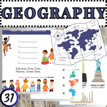
Discovering Our World: A Hands-On Geography Workbook for Young Explorers
Embark on an exciting journey across continents, oceans, and cultures with 'Discovering Our World,' a comprehensive geography workbook designed specifically for young learners. Packed with engaging activities and colorful illustrations, this workbook is tailored to captivate the curiosity of elementary school students and ignite a passion for exploration.Through interactive maps, fun puzzles, and fascinating facts, students will master essential geographic concepts such as continents, countries,
Subjects:
Grades:
PreK - 3rd
Types:
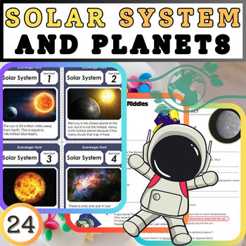
Exploring the Cosmic Classroom: Solar System and Planets Worksheets
Embark on an interstellar journey with our comprehensive worksheets designed to explore the wonders of the solar system and its fascinating planets. Engage students with captivating activities that delve into the realms of astronomy, physics, and space exploration. From the scorching inferno of Mercury to the icy expanse of Neptune, each worksheet offers a unique opportunity to discover the characteristics, composition, and mysteries of celestial bodies.Key Features:Interactive Learning: Dive in
Subjects:
Grades:
K - 5th
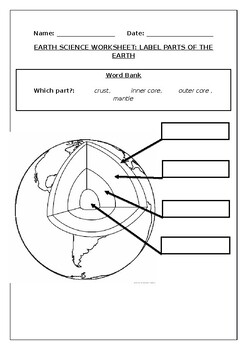
Earth science worksheets: Label the layers of the Earth
Earth science worksheets: Label the layers of the EarthStudents have to labelparts of the earth (crust, mantle, outer core, inner core) Word bank providedStudents can color in the earth once they are doneWorksheet aimed at primary level
Subjects:
Grades:
K - 8th
Types:
Also included in: Primary Space Bundle: (10 worksheets, 60%+ off)
Mapping Skills with Google Earth BIG BOOK - BUNDLE
Gain a complete understanding of map reading with our Mapping Skills with Google Earth™ 3-book BUNDLE. About this Resource: Start off by giving your PK-2 students the building blocks to be successful map readers. Make a map of your classroom with a title, compass rose, legend, date, and author. Find your continent and the countries and lakes within it. Then, extend this basic knowledge to give your 3-5 students a thorough understanding of maps. Compare the different times zones found in your cou
Grades:
PreK - 8th
Types:
Showing 1-24 of 238 results


