409 results
3rd grade Common Core RH.6-8.7 resources
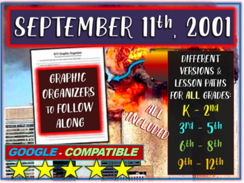
(9/11) September 11th: engaging 35-slide PPT (stats, images, videos, handouts)
THIS IS A MUST-HAVE FOR ANY TEACHER LOOKING TO TEACH ON 9/11. WITH DIFFERENT SLIDE VERSIONS, MULTIPLE HANDOUTS INCLUDED, AND NO PREP NEEDED, THERE ARE A NUMBER OF OPTIONS TO DELIVER AGE-APPROPRIATE LESSONS FOR THIS MOST IMPORTANT AND SENSITIVE TOPIC.THE HIGHLY ENGAGING, FULLY EDITABLE 35-SLIDES ARE EASILY MODIFIED AND TRULY DESIGNED TO TEACH ABOUT 9/11 (PATRIOT DAY) TO ALL GRADE LEVELS.***GOOGLE COMPATIBLE*** 1) Drag and Drop the Word Doc or PowerPoint into Google Drive2) Then Go to "FILE", and
Grades:
2nd - 12th
Also included in: SEPTEMBER Interactive, Engaging, Top-Rated Activities - 7-PACK BUNDLE
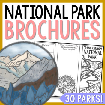
NATIONAL PARK Research Projects | USA American Landmarks Report Activities
This bundle of 30 national park brochure projects is a fantastic way for your students to explore a huge variety of landscapes across North America. Each no-prep activity can be completed in a few different ways. You can provide your students with the information to fill out their brochures, or have them find the information through Internet research. If your students are inexperienced with Internet research, guide them through the process by projecting a search that you lead. NPS.gov and Britta
Grades:
3rd - 8th
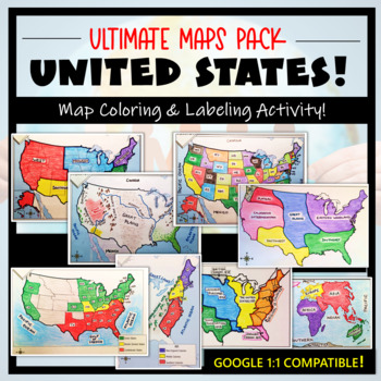
U.S. Maps & Geography- The Ultimate Label & Color Maps Pack! (American History)
This United States Ultimate Maps & Geography Pack includes eight different maps for your American History student explorers- Political Map, Physical Map, Native American Cultural Regions, 13 Colonies, Westward Expansion, 5 Regions, Civil War, and a World Map. These labeling and coloring activities are interactive, engaging, and ready to use- just print and copy! A Teacher’s Guide is provided, as well as options for use to fit your curriculum/lesson. You will also receive a completed, col
Grades:
3rd - 10th
Types:
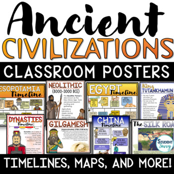
Ancient Civilizations Posters Timelines Maps History Word Wall Bulletin Board
This bundled resource contains 130 posters from The Stone Age, Mesopotamia, Ancient Egypt, Ancient Israel, Ancient India, Ancient China, Ancient Greece, and Ancient Rome. Maps and Timelines Included! These posters are perfect to display in your classroom if you are teaching Ancient Civilizations!Aligned with Ancient Civilizations Complete CurriculumYou may also be interested in the full Ancient Civilizations Bulletin Board Kits Bundle that includes all the postersReady-to-Print PDF files & P
Subjects:
Grades:
3rd - 7th
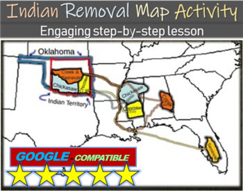
Indian Removal Act & Trail of Tears MAP activity: engaging step-by-step lesson
THIS IS A MUST-HAVE FOR ANY TEACHER LOOKING TO MAKE INDIAN REMOVAL AND THE TRAIL OF TEARS EASY TO UNDERSTAND AND VISUALIZE ON A MAP. STUDENTS FOLLOW ALONG WITH SIMPLE STEP-BY-STEP DIRECTIONS TO CREATE THEIR OWN DETAILED MAPS BY THE END.***GOOGLE COMPATIBLE*** 1) Drag and Drop the PowerPoint into Google Drive2) Then Go to "FILE", and "SAVE AS GOOGLE SLIDES"This download comes with a blank map of the Southern United States in both PDF and MS WORD format, AND a 25-slide PowerPoint that guides stud
Grades:
3rd - 8th
Age of Exploration Activities Early European Explorers Activities Map Project
Explore the Age of Exploration with our comprehensive activities resource bundle, tailored for 5th to 7th-grade Social Studies! This all-inclusive package features seven StudentSavvy resources: an Interactive Notebook, engaging Reading Passages, a dynamic Interactive PowerPoint, Project-Based Learning Activities, innovative STEM Challenges, Google Classroom Projects, and thorough Assessments/Exams/Tests, ensuring a well-rounded and interactive learning experience.This bundled product contains th
Grades:
3rd - 8th
Types:
Ancient Egypt Activities Worksheets Egypt Projects Lesson Plans Curriculum Map
Ancient Egypt Activities Resource Bundle!***Updates - 5 Reading Passages are now included in the bundle! - Digital & Print Board Game for Review now included! -Bell Ringers | Morning Work Included -Ancient Civilizations Curriculum Binders & Sample Pacing Guide for the Full School YearThis bundled product contains the following 9 StudentSavvy resources:Ancient Egypt Lesson Plan Template & Curriculum Map Reading Passages (TpT D
Grades:
3rd - 7th
Types:
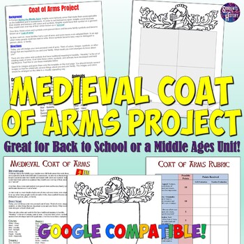
Middle Ages Coat of Arms Project
This Medieval Coat of Arms project is great for a unit on the Middle Ages or for a back-to-school "get to know each other activity"! Included is a directions page that gives the historic background of Coats of Arms and heraldry, as well as simple instructions for students on how to create a Coat of Arms. Next is a fantastic printable Coat of Arms template to use in class and a rubric to help with grading.An editable Google Drive version is now also included! This version can be completed all onl
Grades:
3rd - 9th
Types:
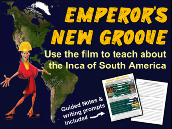
INCA & Emperor's New Groove! - teach Inca history with the movie!
THIS IS A MUST-HAVE FOR ANY TEACHER LOOKING TO MAKE A STUDY OF THE INCA RELEVANT AND ACCESSIBLE FOR MIDDLE-SCHOOLERS. EASY-TO-FOLLOW, PERFECT FOR AN INTRO LESSON***GOOGLE COMPATIBLE*** 1) Drag and Drop the Word Doc or PowerPoint into Google Drive2) Then Go to "FILE", and SAVE AS "GOOGLE SLIDES" or "GOOGLE DOCS"***This resource now includes a handy 2-page student handout (in both PDF and MS WORD). An answer key is also provided.***This resource now also includes an original Jeopardy review game
Grades:
3rd - 10th
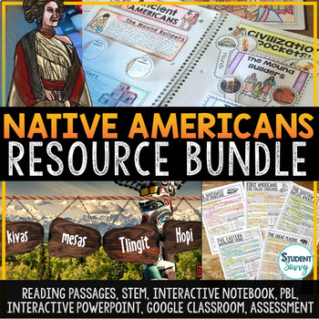
Native Americans Activities Tribes National Native American Heritage Month
Ancient & Native Americans Resource Bundle!This bundled product contains the following 7 StudentSavvy resources!Interactive NotebookReading PassagesInteractive PowerPointPBL ActivitiesSTEM ChallengesGoogle Classroom Student ProjectsAssessments / Exam / TestMore information on each resource:Interactive NotebookThis product contains interactive cut-and-paste learning material for students to create an organized social study interactive notebook. Topics covered in this unit include Ancient Amer
Grades:
3rd - 6th
Types:
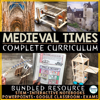
Middle Ages Curriculum Medieval Times Timeline Maps Activities Europe Feudalism
Enhance your Middle Ages curriculum with our Medieval Times and Early Modern Times Complete Curriculum Bundle, available in digital Google Classroom and PDF print formats. With over 1500 pages/slide of material, this comprehensive resource covers Early Byzantine, Early Islam, West Africa, Medieval China, Medieval Japan, Early Middle Ages in Europe, Late Middle Ages in Europe, The Renaissance, The Reformation, Mesoamerica, and The Scientific Revolution.Containing 64 individual units/products and
Grades:
3rd - 7th

USA States Research Report Activity Projects | United States Regions Worksheets
These (50) 2-sided brochure projects are packed with information for students to research. This activity can be completed in a few different ways. You can provide your students with the information to fill out their brochures, or have them find the information through Internet research. If your students are inexperienced with Internet research, guide them through the process by projecting a search that you lead. Ducksters.com and Britannica.com are two of my favorite places for students to resea
Grades:
3rd - 6th
Types:
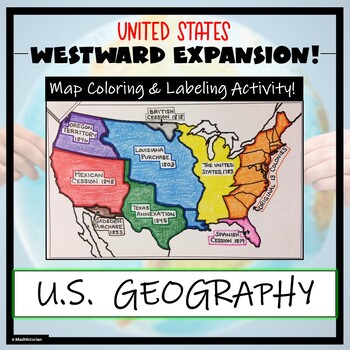
Westward Expansion Map Activity (Label and Color the Map!)
This US Geography Map Activity is a MUST for students who are learning about Westward Expansion! Students will identify, label, and color the various territories that were acquired by the United States to complete the borders that it has today. Directions for labeling and coloring are provided. A completed and colored map is provided for reference, but this map can be completed using a textbook or online resource as well. This is a creative and engaging way of supplementing lessons on geograph
Grades:
3rd - 11th
Types:
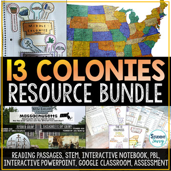
13 Colonies Activities Reading Passages Projects Map Thirteen Colonial America
13 Colonies Activities Resource Bundle!This bundled product contains the following 7 StudentSavvy resources!13 Colonies Interactive Notebook13 Colonies Reading Passages13 Colonies Interactive PowerPoint13 Colonies PBL Activities13 Colonies STEM Challenges13 Colonies Google Classroom Student Projects13 Colonies Assessments / Exam / TestThis resource is part of the US History Complete CurriculumMore information on each resource:Interactive NotebookTopics covered in this unit include:The New Englan
Grades:
3rd - 6th
Types:
Intro to Cultures FUN 5-E Unit BUNDLE | Cultural Traits | Microsoft Resources
An engaging Intro to Culture BUNDLE to build or enrich your curriculum! The guided lessons are FUN for students & the 5-E teaching model is EASY for you to use! Each resource includes a Teacher Guide to ensure success in your classroom! The activities can be adapted to any culture to use throughout the year. Print & interactive, digital versions of the materials are included. Made for traditional in-class learning or digital 1:1 classrooms. Everything you need is included Includes Micros
Subjects:
Grades:
3rd - 10th
Types:

Kentucky Derby Horse Race Virtual Field Trip (Google Earth Exploration)
Take your students on a virtual field trip to Louisville, Kentucky! In this virtual field trip, your students will learn all about the Kentucky Derby held at Churchill Downs. Using a combination of Google Earth™ 360-degree views, video, informational text, and visuals, your students will learn about the history, traditions, and key elements of this sporting event from multiple perspectives.This virtual field trip covers::: Geographic Location of Kentucky:: What is the Kentucky Derby?:: The Race
Grades:
3rd - 5th
Types:
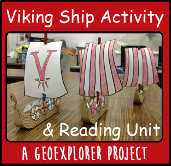
Viking Ship Interactive Distance Learning Geoexplorers Reading Project Vikings
Explore the world with my Geoexplorers projects! This project focuses on the Viking ships of Norway and Scandinavia. Have your students read the included story about Vikings and answer questions related to the text. A second page using the vocabulary will help the students find the meaning of new words. Once the reading lesson is complete, your students get to build their own Viking ship! This lesson can be used independently, or to enrich a unit already being taught. The page of directions can
Subjects:
Grades:
3rd - 8th
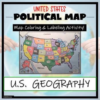
US Political Map Activity- Label and Color the 50 States!
This US Geography Map Activity is a MUST for students who are learning about the states! As a political map, they will label and color all 50 states of the United States of America, as well as surrounding areas. Directions and a key of the states are provided. A completed, colored map is provided for reference, but this map can be completed using a textbook or online resource as well. This is a creative and engaging way of supplementing lessons on geography, civics, or the history of the Unite
Grades:
3rd - 11th
Types:
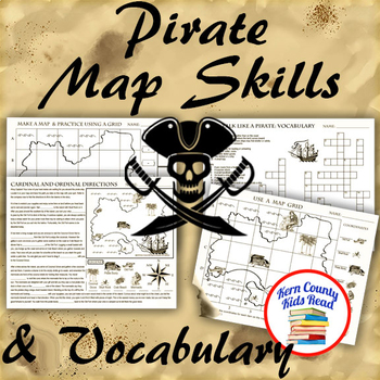
Pirate Map Skills: Grid Coordinates, Cardinal & Ordinal Directions, Symbols
Teach and strengthen coordinate grid math, geography mapping skills like map symbols and cardinal and ordinal directions with a compass rose, and new vocabulary with these pirate themed printable worksheets. These are fun mini-lesson activities for Talk Like A Pirate Day on September 19th or if you have a pirates themed unit. Cardinal directions and coordinate grid mapping are important introductory skills to mastering latitude and longitude map skills and being able to use an atlas. Coordinate
Subjects:
Grades:
3rd - 6th
Also included in: Pirates Thematic Unit Study Bundle: Talk Like A Pirate Pack!
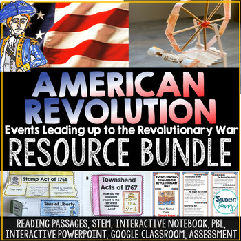
American Revolution - Events Leading to the Revolutionary War Activities Bundle
This bundled product contains the following 7 StudentSavvy resources:Interactive NotebookReading PassagesInteractive PowerPointPBL ActivitiesSTEM ChallengesGoogle Classroom Student ProjectsAssessment | Exam | TestThis resource is part of the US History Complete CurriculumMore information on each resource:Interactive NotebookTopics covered in this unit include:Proclamation of 1763, Sugar Act of 1764, Quartering Act of 1765, Stamp Act, Sons of Liberty, Daughters of Liberty, Townshend Acts of 1767,
Grades:
3rd - 6th
Types:
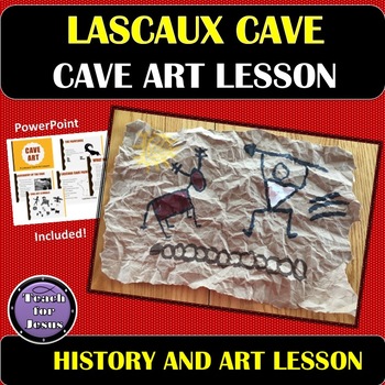
Cave Art Paintings - Lascaux Cave History and Art Lesson
Lascaux Cave History and Art LessonLascaux Cave is located in southwestern France and contains some of the most well preserved cave art in the world. Students will have fun learning about the history of the cave in a short PowerPoint presentation and then creating their own cave art drawing. About The Art ProjectUsing brown construction paper or grocery bags, students will create their own prehistoric drawing. This is a simple, yet engaging, art lesson for kids, perfect for elementary aged stu
Subjects:
Grades:
2nd - 6th
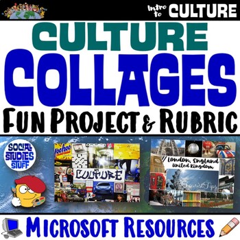
Create a Culture Collage Project with Rubric | Cultural Traits PBL | Microsoft
Create culture collages! This project challenges students to showcase a culture & its unique traits in a fun way. The activity can be adapted to a student’s own culture or any world culture. Directions, brainstorm charts, rubric & project examples are included! Choose whether students make digital or paper collages. Finished projects are always super creative! Your purchase has editable, print & interactive, digital versions of the materials. Made for traditional in-class learning or
Grades:
3rd - 12th
Types:
CCSS:
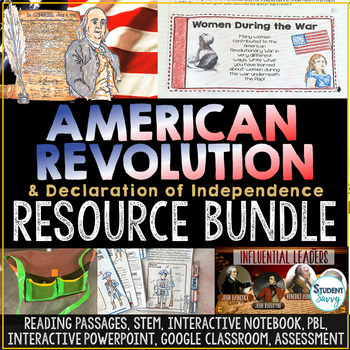
The Revolutionary War and Declaration of Independence Activities Bundle
This bundled product contains the following 7 StudentSavvy resources:Revolutionary War and Declaration of Independence Reading PassagesRevolutionary War and Declaration of Independence Interactive NotebookRevolutionary War and Declaration of Independence Interactive PowerPointRevolutionary War and Declaration of Independence PBL ActivitiesRevolutionary War and Declaration of Independence STEM ChallengesRevolutionary War and Declaration of Independence Google Classroom ProjectsRevolutionary War a
Grades:
3rd - 6th
Types:
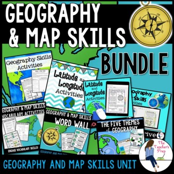
Geography and Map Skills Unit Bundle
Create a highly-engaging unit by using the activities included in this bundle to excite your students as they learn about the basics of geography, latitude and longitude, map skills and the five themes of geography in your classroom! Your students will read informational text, go on a virtual field trip around the globe, complete a video quest, fill in graphic organizers, play vocabulary games and much more all while having access to print and digital versions of activities.Here are the activiti
Grades:
3rd - 8th
Types:
Showing 1-24 of 409 results

