5,662 results
5th grade geography resources for Microsoft PowerPoint
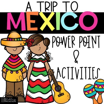
Trip to Mexico Power Point and Activities Pack | Cinco De Mayo Activities
Have a great time learning about Mexico with this fun Power Point and Activities Pack. Both PowerPoint and Google Slides versions are included. It's the perfect activity during Cinco De Mayo, the last week of school, or for some Friday fun! Your class will be introduced to the geography, language, culture, and food in Mexico. The PowerPoint is packed with colorful, real photos. And a variety of activities are included to help your students reflect on what they've learned. Be sure to read the tip
Subjects:
Grades:
K - 6th
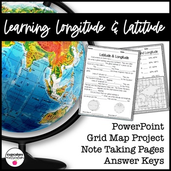
Latitude & Longitude Worksheet for Latitude & Longitude Practice with PowerPoint
This interactive Social Studies lesson engages your students in note-taking of important concepts and lets them use their creativity to show what they have learned!▁▁▁▁▁▁▁▁▁▁▁▁▁▁▁▁▁▁▁▁▁▁▁▁▁▁▁▁▁▁▁▁▁▁▁▁▁▁WHAT IS INCLUDED IN THIS RESOURCE?⇨ 10-page PowerPoint Presentation: Show a vibrant Powerpoint to your students to introduce concepts like longitude, latitude, grid map, coordinates, Prime Meridian, International Dateline, and Equator. ⇨ Accompanying Worksheets: As you engage them in this powerp
Grades:
2nd - 5th
"Trip to Hawaii" Power Point & Activities Pack!
This makes for such a fantastic end of year activity! You'll have a great time learning about Hawaii with this fun Power Point and Activities Packet with your students. Read about how I take my class on this exciting adventure below....Check out other products like this!Trip to Mexico BundleTrip to Australia BundleTrip to South AmericaFREE World Travel Student PassportIncluded in this pack... (check out the preview file for a sneak peek!)-47 slide power point on Hawaii where you learn about -
Subjects:
Grades:
K - 6th
Virtual Field Trip to the Grand Canyon for Geology Science
Virtual Field Trip to the Grand Canyon!Not able to take any trips this fall? Go there virtually! Engaging, no matter the format of instruction, your students will be hooked! Use them as a preview to any science unit OR have the class work towards the reward of 'Field Trip Friday'! NO PREP WORK FOR YOU! Trip is designed for grade K - 5, I included multiple options for certain slides, easy to differentiate, just delete any slides that don't fit your grade level!W H A T ' S I N C L U D E D ?⭐️ Teac
Subjects:
Grades:
K - 5th
Types:
NGSS:
4-ESS1-1
, 3-ESS2-1
, 2-ESS1-1
, 4-ESS2-1
Also included in: THE COMPLETE COLLECTION! Every product in my TPT store - growing bundle!
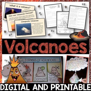
Volcanoes Complete Pack - Printables, Editable PowerPoint, Interactive Notebooks
This Volcano Unit is exploding with a variety of printables, Diagrams, Interactive notebooks, and a 100% editable PowerPoint.*Also includes digital access via Google Slides.What’s included in the pack: (Answer keys are included.) • PowerPoint Review Sheet• Volcanoes Reading Comprehension• Label the parts of a volcano • Volcano Labeled Diagram • 3 Stages of a Volcano Poster (8.5” x 11”) – Active, Dormant, and Extinct• Cinder Cone, Composite, and Shield Volcanoes Posters (1 of each)• Types of Volc
Subjects:
Grades:
3rd - 6th
Geography + Map Skills Bundle | Maps, Continents and Oceans, Latitude Longitude
This epic bundle includes 12 different essential geography resources to help your students develop map skills and a sense of geographic awareness! The printable and digital resources in this bundle cover topics like latitude and longitude, continents, oceans, countries, map key, map projections, map distortion, landforms, and a lot more!Save over 30% by purchasing this bundle!The 12 resources included in this bundle include:Map Skills Digital Activity + Overview SlideshowLatitude and Longitude A
Grades:
5th - 8th
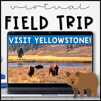
Virtual Field Trip Yellowstone National Park in the Spring
Virtual Field Trip to Yellowstone! Visit America's first national park!NO PREP! Just 'share your screen' and present the slides & videos. ☺Trip is designed for grade K - 5, easy to differentiate based on how many videos you play.GREAT FOR: socially distanced learning, science and social studies supplemental lesson, NO PREP sub plans or as a Fun Friday/Field Trip Friday classroom reward to work towards!!W H A T ' S I N C L U D E D ?⭐️ Teacher directions⭐️ PowerPoint & Google Slides includ
Subjects:
Grades:
K - 5th
Types:
NGSS:
4-LS1-1
, 3-LS4-3
, 2-LS4-1
, 1-LS3-1
Also included in: THE COMPLETE COLLECTION! Every product in my TPT store - growing bundle!
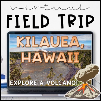
Volcano Virtual Field Trip Kilauea, Hawaii for Landforms
Visit one of the most active volcanoes in the world on the Big Island of Hawai'i! Pairs great with a landform, volcano or earth and space sciences unit.Perfect for socially distanced learning or online meetings!NO PREP! Just 'share your screen' and present the slides. ☺Trip is aimed at a 3rd grade level but works well for K - 5. I included multiple closing activity suggestions, pick one that is an appropriate level for your grade! Or, edit the text and add your own.W H A T ' S I N C L U D E D ?⭐
Subjects:
Grades:
1st - 5th
Also included in: THE COMPLETE COLLECTION! Every product in my TPT store - growing bundle!
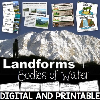
Landforms & Bodies of Water Bundle| Printables, PowerPoint, Interactive Notebook
This landforms pack will engage your students in learning about 19 different landforms / bodies of water. There are Posters, Word Wall Cards, “What am I” cards, Printables, Interactive notebook, and a 100% Editable PowerPoint. *Also includes digital access via Google Slides.Landforms included in this unit: Mountain, Hill, Valley, Plain, Island, Sand Dune, Peninsula, Canyon, Delta, Plateau, Mesa, Ocean, Sea, Lake, River, Gulf, Canal, Glacier, and WaterfallAnswer Keys are included.• PowerPoint Rev
Subjects:
Grades:
2nd - 5th
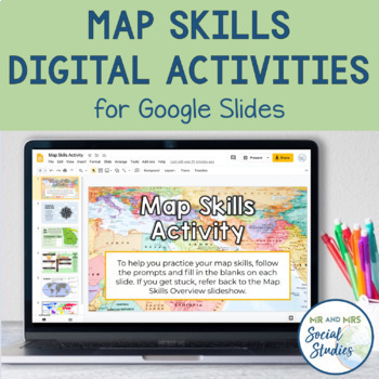
Map Skills Digital Activity and Overview Slideshow | Map Skills Middle School
If you are looking for map skills activities that you can use digitally, you are in the right place! This resource includes both a Map Skills Slideshow with information about different components of maps and a no-prep Map Skills Activity for Google Slides. All of the information is presented in an organized, colorful, and easy-to-understand way for your students.This Map Skills Google Classroom resource includes the following:Teacher Guide (PDF)Map Skills Overview Slideshow (Google Slideshow wit
Grades:
5th - 8th
"Trip to Australia" Power Point & Activities Pack!
Have a great time learning about Australia with this fun Power Point and Activities Packet! Read about how I take my class on this exciting adventure below.Check out other resources like this!Trip To Asia BundleTrip to Mexico BundleTrip to Hawaii BundleTrip to South America BundleFREE World Travel Student Passport✨Save $$ with the Continents and Countries Bundle! Get 8 different "Trip to" resources to use throughout the year, and save 30%!Included in this pack... 50 slide PowerPoint or PDF on Au
Subjects:
Grades:
1st - 6th
"Trip to South America" Power Point & Activities Pack!
Have a great time learning about South America with this fun Power Point and Activities Packet. Read about how I take my class on this exciting adventure below....✨Check out other products like this!Trip to Mexico BundleTrip to Hawaii BundleTrip to Australia BundleFREE World Travel Student PassportIncluded in this pack: -55 slide power point on South America where you learn about -the geography -the language -fun places to visit -the culture -the food -the animals14 Pages of Activiti
Subjects:
Grades:
1st - 6th
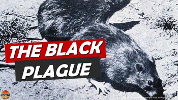
Bubonic Plague The Black Death PowerPoint Slides Outline Notes & YouTube Videos
This was recently re-mastered to be AWESOME! This PowerPoint has some fantastic visuals of the black death/bubonic plague. It also shows the spread of the disease throughout Medieval/Feudal Europe with a great map. There are several key questions that encourage discussion. This PowerPoint is sure to grab your student's attention!The last slide has 2 YouTube links from the History Channel, including a fun song that my class thought was hilarious.We also have an Oh Rats! Black Death storyboard pos
Grades:
5th - 9th
Geography: Push and Pull Factors on Human Migration (Includes lesson, PP & Game)
This lesson is easy enough for 5th graders to understand yet works well with students up to grade 12. Modifications can be made as needed. Students need to understand the differences between human migration, emigration, and immigration as well as the push and pull factors that influence migration. This lesson includes:°Introduction to get students thinking°Encourages brainstorming with graphic organizers°An interactive PowerPoint addressing: migration, immigration, emigration, push and pull fact
Grades:
5th - 12th
Also included in: BUNDLE FOR ALICE
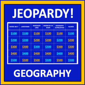
Geography Jeopardy - an interactive social studies game
Geography Jeopardy is an interactive game in which students answer geography trivia questions. This resource reflects the popular TV game show, but adaptations have been made so it can be played in the classroom. The categories are:Where Am I?LandformsImaginary LinesKnown by Its ShapeGeography SuperlativesIslandsParts of a MapCountries Starting with "I"Colorful PlacesWater! Water! Water!ContinentsFamous LandmarksWhere in the World?*SIGN UP AS A FOLLOWER OF “OFF THE PAGE” AND GET NOTIFICATIONS OF
Grades:
5th - 8th
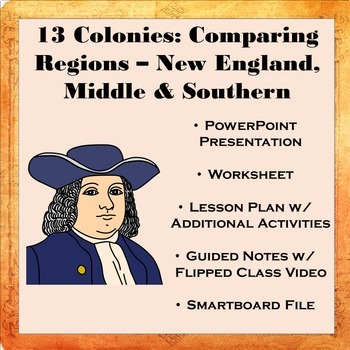
13 Colonies: Comparing Regions - New England, Middle, & Southern Colonies
13 Colonies: Comparing the Regions – New England, Middle & Southern ColoniesThis lesson teaches how the three regions of the 13 Colonies differed from one another: New England, the Middle Colonies, and the Southern Colonies. Students will learn how the climate and geography of the three colonial regions impacted the economic as well as the social lives of colonists in the three regions of the 13 Colonies. Students will learn how the New England colonists had to look to different types of rev
Subjects:
Grades:
5th - 11th
Also included in: Early US History Bundle: 1492 - Civil War
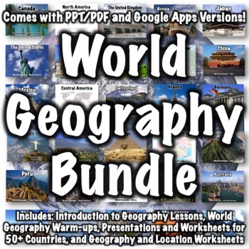
World Geography Bundle
This bundle includes over 100 world geography products. Several products that follow a similar format to products in the bundle are available for free if you want to check them out, including:Introduction to World Geography PresentationIntroduction to World Geography WorksheetUnited States Geography WorksheetEurope Location WorksheetChina Presentation China WorksheetItaly PresentationItaly WorksheetProducts in the bundle include:Introduction to Geography:Introduction to World Geography Presentat
Subjects:
Grades:
5th - 8th
CCSS:
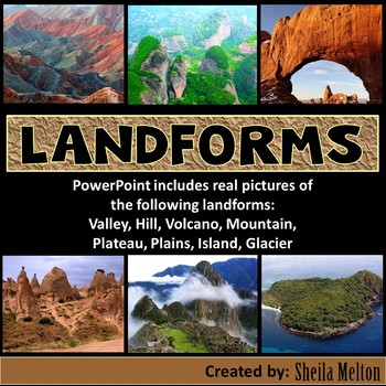
LANDFORMS PowerPoint
Bring Earth's Landforms inside your classroom with this interactive Landforms PowerPoint using all real pictures! It also includes several opportunities for students to answer questions as they learn all about landforms.Students' knowledge can also be assess using the quick quiz at the end.What other teachers have said about this product:"Wonderful, real-life pictures! Students really got an understanding of each land form!""Great resource! My kids and I loved the pictures! Very helpful!""This
Subjects:
Grades:
K - 5th
Also included in: Science PowerPoints BUNDLE (Includes *BONUS* PowerPoint!)
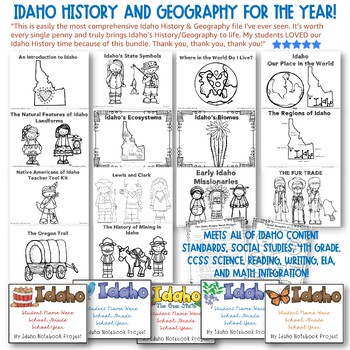
✩Idaho History and Geography for the YEAR! HUGE!!✩ CCSS Integration! Top Rated.
✩✩✩LIFETIME UPDATES!✩✩✩IDAHO HISTORY & GEOGRAPHY FOR THE ENTIRE YEAR! Meets all of Idaho Content Standards, Social Studies, Fourth GradeWith CCSS Science, Reading, Writing, ELA, and Math Integration! Teacher Tool Kit with Every Section.Top Reviews: See all reviews on the listing page. Here's one example: This is easily the most comprehensive Idaho History & Geography file I've ever seen. It's worth every single penny and truly brings Idaho's History/Geography to life. My students LOVED o
Subjects:
Grades:
3rd - 5th
Map Skills & Types of Maps BUNDLE- Printables, PowerPoint - Distance Learning
Map Skills and Types of Maps Bundle: Everything you need to teach the unit! This bundle includes interactive notebooks, printables and activities, and a 100% editable PowerPoint with review questions. Your students will have fun learning all about the map elements (title, compass rose, legend, map scale, coordinate grid), the different types of maps (climate, political, physical, road, resource) and more vocabulary such as symbols, cardinal and intermediate directions, latitude, longitude, equat
Subjects:
Grades:
3rd - 5th
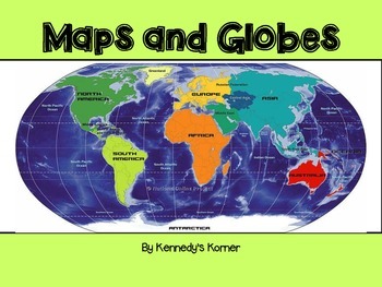
Maps and Globes Power Point
UPDATED SEPTEMBER 2020 ~ This is all you will need to teach all about Maps and Globes.This unit will cover the following topics : Words to Know What are Maps and Globes Map Key or Symbols Cardinal Directions Intermediate Directions Equator Prime Meridian Hemispheres Coordinate Map Map scales Continents and Oceans Types of Maps Quick Check Review pages Extra Maps Final QuizThere are numerous examples of maps included. Black and White copies o
Grades:
2nd - 5th
Ancient India Geography + Monsoons Lesson Guided Notes and PowerPoint Activity
In this Ancient India Geography notes and PowerPoint lesson activity, students learn about the geography, climate, and monsoons of modern and ancient India. First, students complete a two-page guided note worksheet with the included 18-slide PowerPoint presentation. A map activity is also included in the guided notes for students to locate and identify locations as the notes are completed. Next, students complete a close-reading assignment about a ship-wrecked sailor that shows the ancient Ind
Grades:
5th - 8th
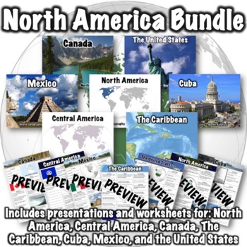
North America Bundle
This bundle includes the following products:Canada PowerPointCanada WorksheetThe Caribbean PowerPointThe Caribbean WorksheetCentral America PowerPointCentral America WorksheetCuba PowerPointCuba WorksheetMexico PowerPointMexico WorksheetNorth America PowerPointNorth America WorksheetThe United States PowerPointUnited States WorksheetPDFs, PowerPoints, and links to download versions formatted for Google Apps are included. An optional 50-question assessment is also included as both a word doc and
Subjects:
Grades:
5th - 8th
CCSS:
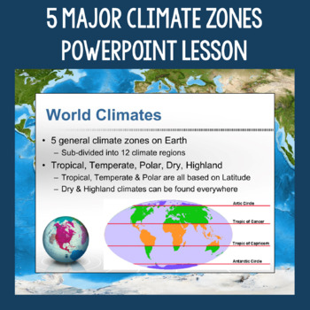
5 Major Climate Zones PowerPoint Slides | Chart and Mapping Activity
This Climate Zones Lesson and Activity includes a full PowerPoint presentation that address the characteristics, general locations, plants, animals, and specific location examples of the 5 major climate zones (polar, temperate, tropical, dry, highland). Students can fill out the included chart as you go over the presentation and a follow-up mapping activity puts their new knowledge of the climate zones to use. A filled out version of the chart, a blank version of the chart, and a blank map are a
Subjects:
Grades:
5th - 12th
Also included in: Geography Skills PowerPoint Lessons Bundle
Showing 1-24 of 5,662 results


