2,547 results
6th grade geography graphic organizers
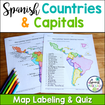
Spanish-Speaking Countries and Capitals Maps and Quiz
This is a map labeling activity and matching quiz over the 21 Spanish-speaking countries and capitals. Students will label and identify the 21 Spanish-speaking countries and capitals in Spanish. This is a great activity when reviewing Spanish-speaking countries and capitals or Spanish geography. Makes a great coloring page. Answer keys are included.
Countries included:
España, México, Costa Rica, El Salvador, Guatemala, Honduras, Nicaragua, Panamá, Cuba, La República Dominicana, Puerto Rico, Ar
Subjects:
Grades:
6th - 12th
Also included in: Spanish Countries and Capitals Geography Bundle
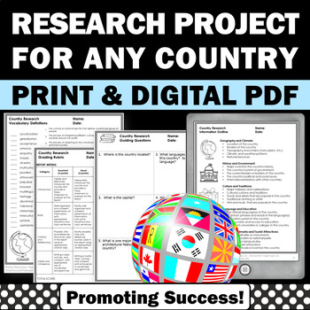
Country Research Projects Study Report Countries Around the World Research
Country Research Projects: This newly revised (July 2023) country study worksheet packet will help your 4th grade, 5th grade, and 6th grade social studies students conduct a country study research project for countries around the world. It not only includes country research graphic organizers and templates and for gathering information and conducting country research, but also guidance and skills for country report writing and giving a presentation. Grading rubrics, answer keys, differentiated a
Subjects:
Grades:
4th - 7th
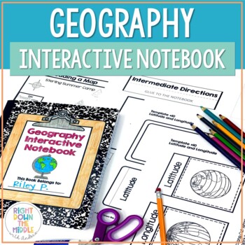
Geography and Map Skills Interactive Notebook | Print and Digital
Teaching geography and map skills doesn't have to be boring! This is a great way to teach geography and map skills. Students remain engaged through the hands-on portion of the interactive notebook. In addition to the hands-on activities, students produce a product that is useful to develop good study habits. This resource includes both the print and digital ready versions all in one. You have access to both in case you find yourself in need of one or the other throughout the school year. Templat
Grades:
3rd - 6th
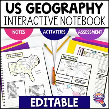
United States Geography & U.S. Regions EDITABLE Interactive Notebook & Test
Support upper elementary students’ reading skills with this U.S. Geography and its Regions Interactive Notebook. This editable unit is a complete study of United States Geography, including interactive activities, maps, vocabulary, graphic organizers, and assessment. Students will explore physical geography, such as mountains and rivers, and the regions of the United States. This interactive notebook includes activities, maps, and organizers on the following topics:United States Map Activity Vo
Grades:
4th - 6th
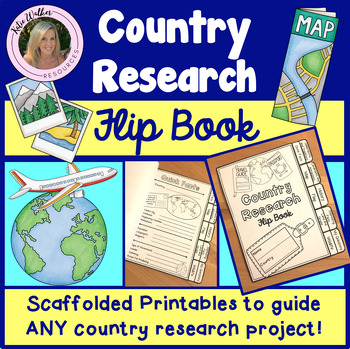
Country Research Project
Scaffolded printable flip book that can be used for ANY country research project!This resource is now available as a bundle with the matching Google Slides version! Click here to view and save $$$. Perfect for distance learning and hybrid teaching. This resource is also available in a bundle that includes 5 of my best-selling flip book resources! Click here to view and save $$$!Click here to view the digital Google Slides version. This ready-to-print flip book template can be used to scaffol
Grades:
3rd - 6th
Also included in: Country Research Project Bundle
13 Colonies Regions New England, Middle, & Southern Colony Regions
In this 13 Colonies and Colony Regions activity, students compare the New England, Middle and Southern Colony Regions. Students read the included student-friendly article (either in a group, individually, or as a class), then fill in the details on the included graphic organizer. This serves as a great intro to the 13 Colonies, or as a great way to learn the varying characteristics of the New England, Middle, or Southern colony regions.This resource includes a paper in-class version and a 1:1
Grades:
5th - 8th
Types:
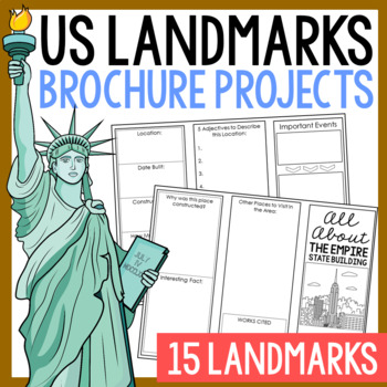
USA LANDMARKS Research Projects | United States Geography Report Activity
This bundle of (15) two-sided tri-fold research brochure templates allows students to dig deeper into facts about famous landmarks in the United States. You'll also find a BLANK template to use with ANY landmark that is not included with this resource. Makes a great addition to your American history and geography unit studies throughout the year. Keep these in your early finisher folder or your sub-folder for no-prep fun.CLICK HERE to save 30% on this resource in the American Landmarks activity
Subjects:
Grades:
3rd - 7th
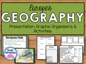
Geography of Europe: Physical Features (SS6G7a)
This file is a resource pack about the major physical features in Europe: the Danube River, Rhine River, English Channel, Mediterranean Sea, European Plain, the Alps, Pyrenees, Ural Mountains, and the Iberian Peninsula (as outlined by the Georgia Standard of Excellence – SS6G7a,b). This lesson includes a presentation with important facts about the features and where they are located, as well as colorful images. There is also a graphic organizer for note-taking during the presentation, a quick ma
Grades:
6th
Also included in: Europe Unit BUNDLE - Geography, History, Government, Economics, Etc.
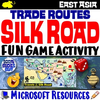
Silk Road Trade Routes FUN Game Activity | Cultural Diffusion and Geography
Play a FUN “Travels on the Silk Road” game that students LOVE! They must identify goods & ideas spread on the trade routes while competing to amass the greatest fortune along the way! Print & interactive, digital versions of the materials are included. Made for traditional in-class learning or digital 1:1 classrooms. Everything you need is included!Includes:Explain Slides: Game DirectionsFill-in Scorecard & ChartGame Task CardsGame BoardAnswer KeyTeacher Reference GuideVocabulary:Sil
Grades:
5th - 12th
CCSS:
Geography Mapping Skills BUNDLE (World Geography Bundle), Mapping Activities
This Mapping Skills BUNDLE, Google Classroom, Print & Digital Distance Learning covers important foundational mapping skills topics such as Geography Overview, Types of Maps, Map Elements, Key Places on Maps, Latitude, Longitude, Time Zones, Climate Zones, Five Themes of Geography, & Biomes. It also includes historical thinking skills topics such as primary and secondary sources, artifacts, timelines, political cartoons, debates, push/pull factors, charts & graphs, comparing, contras
Grades:
6th - 12th
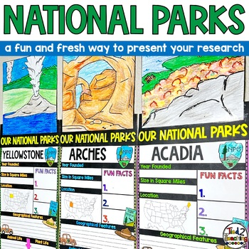
National Parks Research Report Project Informational Report Writing Reports
These National Parks Informational Writing Research Report Template Pennant Banners come with over 60 amazing pennants for displaying your National Park research project on any America's Beautiful National Parks. Perfect for any time of the year, these pennants are a great way to supplement your instruction as well as help your students organize their research!In addition to being excellent informational organizers for your students, these National Park pennant banners are great to use for bull
Subjects:
Grades:
3rd - 6th
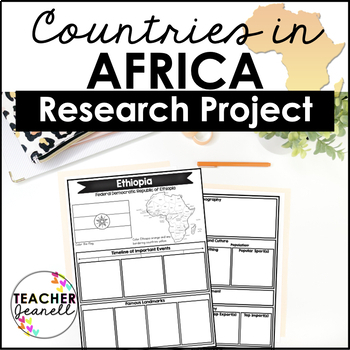
Country Research Project Posters - Africa
The Africa Research Project is the perfect tool for teachers looking for an engaging way to help their students learn about African countries. With this unique project, teachers can allow students to explore an African country of their choice in-depth, gaining a greater understanding and appreciation of its geography, population, government type, current leaders, currency, and much more.The research process has been simplified with comprehensive graphic organizers that provide structure for each
Grades:
3rd - 8th
Ancient China Geography | Learn Geography of China and Evaluate Statements
This Ancient China Geography lesson provides an engaging view into China's geography, environment, and how the environment determined peoples' way of life in Ancient China. Students engage with this resource by completing a guided graphic organizer as they read stations and handouts about several of China's geographic features. Students complete a map to learn about SEVEN geographic features around China's landscape, learn how these features have impacted life, and verify and debunk several (14
Subjects:
Grades:
5th - 8th
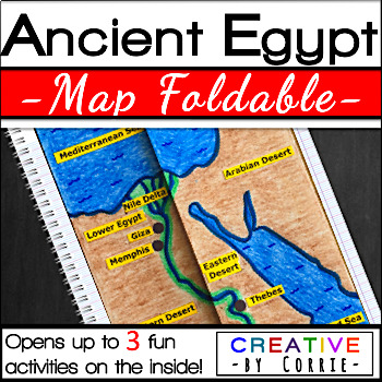
Ancient Egypt Map Foldable for Interactive Notebooks
Spice up your Ancient Egypt geography lesson with this fun map foldable activity! This foldable folds on two lines so that the sides meet in the middle to form a map of Ancient Egypt. The foldable then opens up to 3 activities which will sharpen your students’ knowledge about the geography of Ancient Egypt. The activities on the inside are focused on three topics:Natural barriers that protected Ancient EgyptWays the people of Ancient Egypt used the Nile RiverFacts about the Nile River What’s i
Subjects:
Grades:
3rd - 9th
Ancient Civilizations GRAPES Posters Ancient Greece Ancient Rome Ancient China
Help your students learn and organize info about ancient civilizations with these G.R.A.P.E.S. posters, guiding questions, and graphic organizers! The GRAPES Ancient Civilizations Poster and Graphic Organizer Set is an easy acronym to organize information for the basic traits of ancient civilizations. G.R.A.P.E.S. is an acronym for:G- GeographyR- ReligionA- AchievementsP- PoliticsE- EconomicsS- Social StructureGRAPES is an effective way to learn and organize information about different civilizat
Grades:
6th - 8th
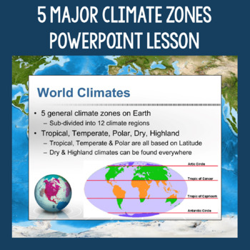
5 Major Climate Zones PowerPoint Slides | Chart and Mapping Activity
This Climate Zones Lesson and Activity includes a full PowerPoint presentation that address the characteristics, general locations, plants, animals, and specific location examples of the 5 major climate zones (polar, temperate, tropical, dry, highland). Students can fill out the included chart as you go over the presentation and a follow-up mapping activity puts their new knowledge of the climate zones to use. A filled out version of the chart, a blank version of the chart, and a blank map are a
Subjects:
Grades:
5th - 12th
Also included in: Geography Skills PowerPoint Lessons Bundle
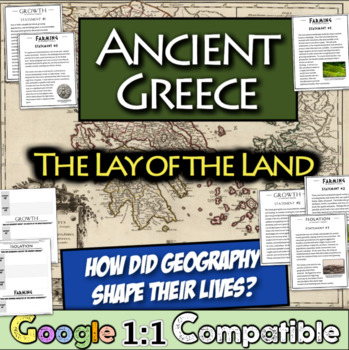
Ancient Greece Geography Gallery Stations | Greek Isolation, Farming, and Growth
In this engaging Ancient Greek Geography resource, students examine NINE statements across three overarching themes that were impacted by the Ancient Greek Geography: isolation, farming, and growth. For each statement, students focus on an overarching question and record relevant details on a graphic organizer matrix that are focused on the central question. Students learn about the impact of the mountainous landscape, their reliance on specialized farming, trade with others, colonies, and much
Subjects:
Grades:
5th - 8th
Types:
Ancient History Interactive Notebook Mega Bundle
This bundle includes all the Ancient History Interactive Notebooks currently available in The Teacher's Prep store!
ANSWER KEYS are included in each notebook!
**An editable vocabulary page has been added to this resource. It's in a PowerPoint file. Simply add in your own vocabulary words, print, and go!**
The bundle includes a wide variety of interactive notebook graphic organizers for each civilization in the bundle. This allows teachers to customize the activities for their own classrooms
Subjects:
Grades:
5th - 8th
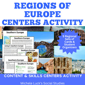
Regions of Europe Centers Activity for European Geography or Culture Study
Introduce your students to the regions of Europe with this easy to prep Centers or Stations Activity. At each regional center, students will read geographic information on the region, view maps and discover physical features and statistics, view data from the region on cultural and human characteristics, and read current articles on the regions of Europe (using internet links provided in teacher directions). Included:Reading Cards on each RegionImage Cards on each RegionMap Cards on each Regi
Subjects:
Grades:
6th - 10th, Higher Education
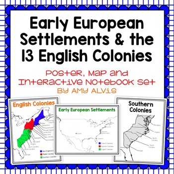
Early European Settlements & 13 English Colonies Poster and INB
This poster, map and interactive notebook INB set covers covers the early American settlements of Santa Fe, St. Augustine, Roanoke Island, Jamestown, Plymouth and Quebec as well as the original 13 colonies.You will get the following:pg. 3: Poster of Early European Settlements (Santa Fe, St. Augustine, Roanoke Island, Jamestown, Plymouth, and Quebec)pg. 4: Map of Early European Settlements where students can map where each settlement was.pg. 5-12: Posters of 13 Coloniespg. 13: Map page for stud
Grades:
5th - 9th
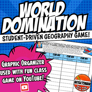
World Domination! Ancient or United States US Geography Game Answer Document
This is the answer document for the US History, World History, and Ancient History physical geography games via Instructomanias YouTube channel posted at:View video playlist!Just copy and paste the link above to find completely student-driven physical geography games for the following regions:⭐1. The United States⭐2. World Continents and Oceans⭐3. Japan⭐4. China⭐5. India⭐6. Italy⭐7. Europe⭐8. Greece⭐9. Ancient Mesopotamia⭐10. Africa⭐11. Mexico⭐12. South AmericaMy class LOVES this geography game!
Grades:
4th - 9th
Types:
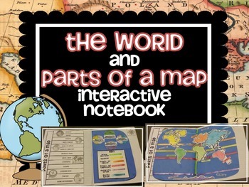
The WORLD and PARTS OF A MAP interactive notebook activities
Learn about the parts of a map while creating an interactive world to illustrate your discoveries.
Map Parts INCLUDED:
longitude
latitude
equator
prime meridian
tropic of cancer
tropic of capricorn
antarctic circle
arctic circle
continents
oceans
compass rose
map key
world hemispheres
Includes 2 different world map interactive notebook options, 2 different world terms activities to choose from and a quiz!
visit my blog at:
www.terrificthird.blogspot.com
Grades:
4th - 8th
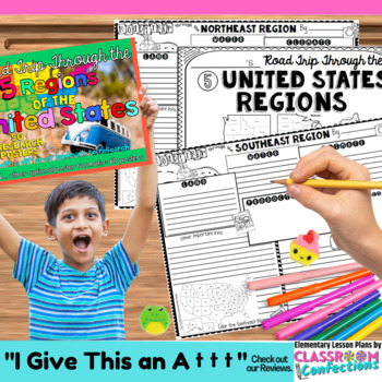
US Regions Research 5 Regions of the United States 4th 5th Grade Activity
Five Regions of the United States: Over 50 research posters. There is a poster for every state, PLUS a different featured landmark pictured on each poster. The regions included in this pack are: Southeast Region, Northeast Region, Midwest Region, Southwest Region, and West. Please make sure that these are the regions you are looking for, as the US can be broken into regions several ways.More specifically, the regions are broken into these states: Southeast Region: Alabama, Arkansas, Florida, Ge
Grades:
4th - 6th
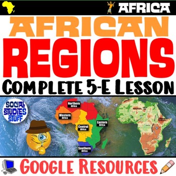
The Five Regions of Africa 5-E Lesson | African Geography and Culture | Google
This lesson examines the five regions of Africa by exploring the continent’s diverse cultures & geography. The activities are engaging for students & the guided, 5-E format is easy for you to use! Fill-in notes accompany the lesson. Begin with a fun “Rank It - Continents” warm-up. Then, a “Divide It” activity challenges your class to examine 4 thematic maps to determine how best to divide Africa into 5 regions. Next, students create labeled maps featuring the 5 regions of Africa. An “Inv
Grades:
6th - 12th
CCSS:
Showing 1-24 of 2,547 results


