6,999 results
7th grade geography resources $5-10
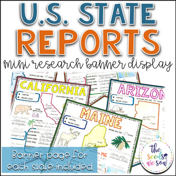
State Report Research and Banner Display Project
If you're looking for an alternative way for your students to research and report on states in the U.S., then look no further. These research banners are not only engaging and educational, they are also visually appealing and provide a great classroom/hallway display.This set includes:● 50 visually appealing state banners● 50 state banners with writing lines (and state flag)● 50 blank state banners for student creativity● Teacher lesson plan page (includes research web sites)● Student recording
Grades:
5th - 8th
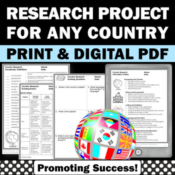
Country Research Projects Study Report Countries Around the World Research
Country Research Projects: This newly revised (July 2023) country study worksheet packet will help your 4th grade, 5th grade, and 6th grade social studies students conduct a country study research project for countries around the world. It not only includes country research graphic organizers and templates and for gathering information and conducting country research, but also guidance and skills for country report writing and giving a presentation. Grading rubrics, answer keys, differentiated a
Subjects:
Grades:
4th - 7th
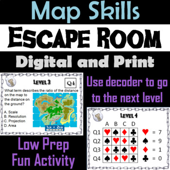
Map Skills Activity Escape Room (Geography Unit: Latitude & Longitude, Map Types
This breakout escape room is a fun way for students to test their skills with maps.Important: (How to Make Completely Digital)This product normally requires the printing of the questions to accompany a digital form for students to input answers. But if you follow a couple simple steps, this can be made entirely digital! Just use the following tool:https://smallpdf.com/split-pdf(choose "extract pages")to extract the pages containing the questions into its own PDF. You can then upload that PDF t
Grades:
4th - 8th
Types:
5 Themes of Geography Stations Activity | Five Themes of Geography Lesson
In this Five Themes of Geography stations and student activity, students analyze the five themes of geography (location, place, human-environment interaction, movement, and region) to understand how geographers study the world!This best-selling geography resource is included in the massive All Things Geography Bundle, as well as the American or the World History PLUS Curriculum!This lesson begins with students doing an introductory reading and activity on the five themes of geography. Then, stu
Grades:
5th - 9th
Types:
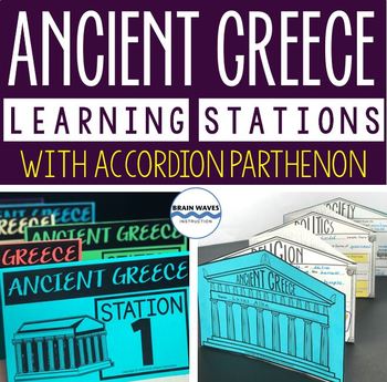
Ancient Greece Stations, Parthenon Accordion Book, Ancient Greece Activities
This resource contains six ancient Greece learning stations that students can rotate through in small groups. Each learning station (or center) is designed to give students engaging and exciting learning experiences to practice, enrich, review, and enhance their learning. Students will visit each station with a small group and complete ancient Greece activities. Here’s the fun part! During the learning stations, students will create an accordion book to showcase their learning. They’ll “build” f
Grades:
5th - 8th
Types:
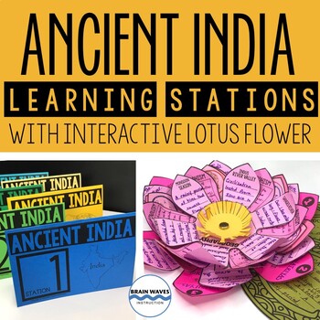
Ancient India Unit with Learning Stations and Interactive Project
This resource contains six ancient India learning stations that students can rotate through in small groups. Each learning station (or ancient history learning center) is designed to give students engaging and exciting learning experiences to practice, enrich, review, and enhance their learning. Students will visit each station with a small group and complete tasks and assignments. Check this out! Students will create a 3-D interactive lotus flower filled with their learning. They’ll add inform
Grades:
4th - 7th
Types:
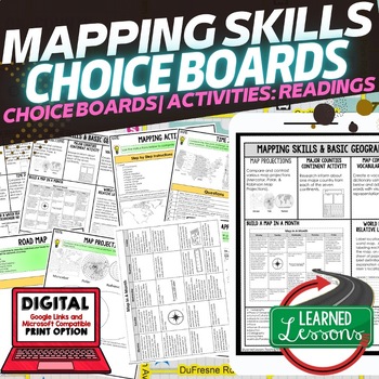
Geography Mapping Skills Activities, Geography Choice Board, Reading Passages
Mapping Skills and Basic Geography Choice Boards, Mapping Skills Readings Google Classroom, Print & Digital Learning provides differentiated activities to use with students to master the content. THIS IS ALSO PART OF SEVERAL BUNDLES World Geography MEGA BUNDLE AND World Geography Choice Board Activity BUNDLE AND Mapping Skills BUNDLE Choice Board Activities and Mapping Skills Readings Including the following: Mapping ActivityCartographerMap ScaleTypes of MapsTime ZonesRoad MapsLand and Wate
Grades:
7th - 12th
Types:
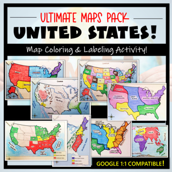
U.S. Maps & Geography- The Ultimate Label & Color Maps Pack! (American History)
This United States Ultimate Maps & Geography Pack includes eight different maps for your American History student explorers- Political Map, Physical Map, Native American Cultural Regions, 13 Colonies, Westward Expansion, 5 Regions, Civil War, and a World Map. These labeling and coloring activities are interactive, engaging, and ready to use- just print and copy! A Teacher’s Guide is provided, as well as options for use to fit your curriculum/lesson. You will also receive a completed, col
Grades:
3rd - 10th
Types:
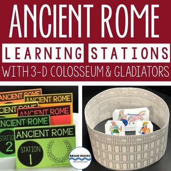
Ancient Rome Learning Stations 3-D Colosseum Gladiators Rome Activities
This resource contains six ancient Rome learning stations that students can rotate through in small groups. Each ancient Rome learning station (or center) is designed to give students engaging and exciting learning experiences to practice, enrich, review, and enhance their learning. Students will visit each station with a small group and complete tasks and assignments. Here’s the fun part! After students complete each ancient Rome activity at the learning stations, they’ll turn their work into
Grades:
4th - 7th
Types:
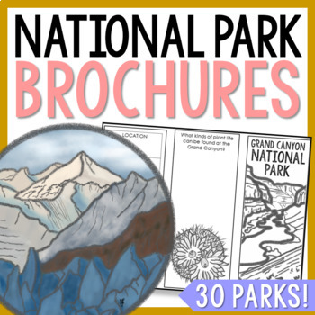
NATIONAL PARK Research Projects | USA American Landmarks Report Activities
This bundle of 30 national park brochure projects is a fantastic way for your students to explore a huge variety of landscapes across North America. Each no-prep activity can be completed in a few different ways. You can provide your students with the information to fill out their brochures, or have them find the information through Internet research. If your students are inexperienced with Internet research, guide them through the process by projecting a search that you lead. NPS.gov and Britta
Grades:
3rd - 8th
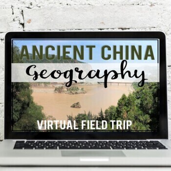
Ancient China Geography: Virtual Field Trip (Google Earth Exploration)
Take your students on a virtual field trip to learn the geography of ancient China! Using a combination of Google Earth™ 360-degree views, informational text, video, and visuals, your students will learn about and explore the geography of ancient China including: the Gobi Desert, Himalaya Mountains, Tibetan Plateau, Yangtze River, and Huang He River (Yellow River).Your students will learn about::: geographic location of China:: modern-day borders (map skills included):: Gobi Desert (Mongols &
Subjects:
Grades:
5th - 7th
Also included in: Ancient China Virtual Field Trip Bundle (Google Earth Exploration)
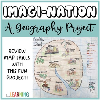
Geography Project: Create Your Own Nation and Map Skills!
This Geography Project is the perfect end of year activity or ANY TIME activity! Students will review and practice a variety of map skills as they create their own nations! It is a fun alternative to a Geography worksheet as students have the opportunity practice a variety of map skills through this project!This Geography Project Includes:Map Skills Review PowerPoint LessonGeographic Features and Landforms ReviewGuided Notes that Follow Along with the LessonImagi-Nation Project Directions and Ro
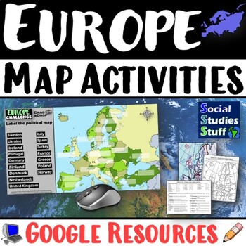
Geography of Europe Map Practice Activities | Print and Digital | Google
End the cycle of bored students copying from books to label maps! Your classes think critically with these digital, interactive, geography activities. First, students answer questions about Europe by analyzing various physical & political maps of the region. Then, a drag & drop challenge assesses their learning of the locations. This resource also includes a printable worksheet that takes labeling maps to the next level! They create a map using only absolute & relative location clues
Subjects:
Grades:
5th - 12th
CCSS:
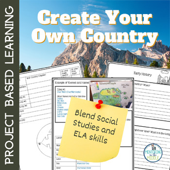
Project Based Learning, End of Year Create Your Own Map, Create Your Own Country
Are you looking for a project-based learning activity for GEOGRAPHY or MAP SKILLS in your Social Studies classroom? Or an engaging way to blend Social Studies with ELA? This Make Your Own Country project will enthrall your students as they make a country based on what they know and believe should exist! A perfect Project Based Learning experience for the end of the year!The PBL has students using geography, writing, and art. Students review map skills by creating a unique country with 20 lan
Subjects:
Grades:
4th - 7th
Types:
CCSS:
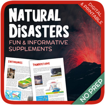
Natural Disasters
Let's learn about Natural Disasters! This worksheet includes 34 pages with a large variety of activities and exercises about natural disasters. Crosswords, word searches, puzzles and other kinds of activities are included to make it a fun and interesting class. The answers and an answer sheet are included. GOOGLE SLIDES AND FILLABLE PDF VERSIONS INCLUDED!Overview: Page 1-2: Introduction Page 3-4: EarthquakesPage 5-7: HurricanesPage 8-9: FloodsPage 10-11: Volcanic EruptionsPage 12-13: TsunamisPag
Subjects:
Grades:
5th - 12th
Types:
Also included in: Geography Bundle (Nature, Oceans, Ecosystems, and Natural Disasters)
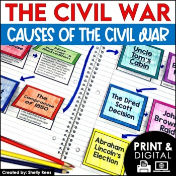
Causes of the Civil War | Civil War Map and Timeline DIGITAL and PRINTABLE
Students are fully engaged in learning about the causes of the Civil War with this interactive packet. The hands-on approach of this resource, including a timeline, foldables, map activity, bulletin board, and more, will help your students learn and understand the cause and effect relationships of events in this period of history!Click the PREVIEW above to see this resource in greater detail!Click here and SAVE 20% by buying ALL 15 Social Studies Interactive Notebooks and Mini Units in one Year
Grades:
5th - 8th
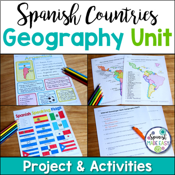
Spanish Countries and Capitals Geography Bundle
This is a Geography Unit with 4 resources over the 21 Spanish-Speaking Countries and Capitals. In this bundle you will receive a Spanish-speaking country profile project, 2 map labeling activities, a matching quiz activity, an internet scavenger hunt, and a 2 page coloring activity with the 21 flags of the Spanish-speaking world. Answer keys and examples are included. Purchase this bundle and save over 25% off the following resources:Spanish-Speaking Country Profile ProjectSpanish-Speaking Count
Subjects:
Grades:
6th - 12th
Types:
Winter Holidays Around the World Virtual Scavenger Hunt (Google Earth)
Take your students on a winter holidays adventure around the world! Using a combination of Google Earth™ 360-degree views, informational text, video, and visuals, your students will learn about and explore 8 different winter holiday events and traditions around the world. This low-prep, interactive activity is fully digital and is set up in Google Slides. This activity has been updated for the 2023 season!*CLICK THE PREVIEW BUTTON TO VIEW MOREStudents will visit and learn about the following:Nat
Grades:
5th - 7th
Types:
Introduction to Maps, Map Reading, Topography, and Geography Unit
In this maps skills and introduction to map reading, map features, and basic geography, students are introduced to the common elements that all maps have and a variety of different map styles, including climate maps, political maps, physical maps, road maps, topographic maps, and economic and resource maps! ✮✮ This resource is now Google 1:1 compatible! ✮✮Students first learn about map titles, keys, the compass, and the scale, then are engaged with learning about the variety of different maps
Grades:
4th - 7th
Types:
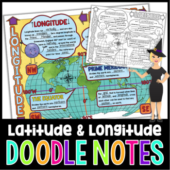
Latitude and Longitude Doodle Notes | Science Doodle Notes
This science graphic organizer will aid students in identifying and defining latitude, longitude, the Equator, Prime Meridian, meridians, parallels, and how this information is used on maps. This fun, NO PREP activity will have your students mastering content quicker, easier, and asking for more!What are doodle notes?Doodle notes are a visual aid that will increase student concept retention, focus, creativity, and engagement. Students will gain experience in synthesizing information and creating
Subjects:
Grades:
5th - 7th
Also included in: Science Doodle Notes Growing Bundle
Passport Booklet & Stamps Growing Bundle: Around the World Unit, Geography Fair
These passport stamps and passport booklet are absolutely amazing!!! Perfect for an around the world unit, introduction to country studies, a Geography Fair, International Night, Social Studies Units, "Read Around the World" Passports, or Christmas Around the World (or Holidays Around the World). Save now by getting in early on this GROWING BUNDLE as we will be adding country stamps in the near future!The passport booklet is authentic, appropriate for students in any country ("Citizen of the Wor
Grades:
PreK - 12th
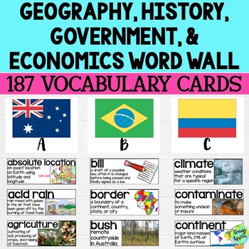
Social Studies Word Wall Vocabulary Cards, Bulletin Board Idea
This product is a word wall to help teach important social studies vocabulary words to students. It can also be used as a social studies bulletin board!The specific regions included are Europe, Australia, Latin America and the Caribbean, and Canada. However, the domains include geography, government, economy, and history, so this resource can be used in most social studies classrooms. Also, many terms are not specific to these regions and can be applied broadly.Each word card includes the vocabu
Grades:
3rd - 11th
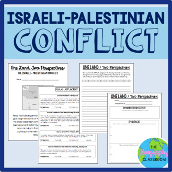
Israel Palestine Conflict History Set
This set includes several resources and activities to use when teaching the complicated Israeli-Palestinian conflict. This set includes:- A short reading on the "two-state solution"- Several primary source documents that help students understand the major issues preventing a two-state solution. As students read the documents, they have to decide whether each document has a pro-Israeli perspective, a pro-Palestinian perspective, or a neutral perspective. - 12 page PowerPoint slides for teachers t
Grades:
6th - 12th
Types:
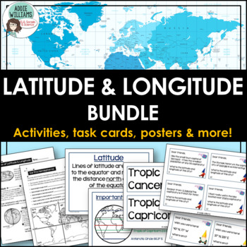
Latitude and Longitude Bundle - Activities, Task Cards, & Posters
Latitude and Longitude - Everything you need to teach and practice latitude and longitude skills! 1. Latitude & Longitude Reference Sheets and Activities - reference sheets, worksheets and activities to teach students how to find a spot on the globe using latitude and longitude. Includes answer keys. 11 pages.2. Latitude & Longitude Task Cards - 4 different sets of task cards (12 cards per set, Canadian set has 14) with varying degrees of difficulty. Includes answer keys. Includes se
Subjects:
Grades:
5th - 9th
Types:
Showing 1-24 of 6,999 results


